We can trace this back to the April 27 Tornado outbreak, that upper low
crossed New England April 30th, then stalled off shore as
a Blocking weather pattern became established in The Northern
Hemisphere. On May 3rd, the old tornado storm stalled north of Bermuda
with a 1006 millibar surface low generating a nice groundswell, first
good surfing of spring 2011. That low became part of a weather traffic
jam, causing the next front that arrived here on May 5th, to stall over
Maine the final 3" of snow in our mountains (same day Sox lost 11-0 to
Angles, we had a Rainbow over the Pru, and hail on Cape Cod.) Two days
later the same upper low absorbed the next front here on Saturday May
7th, with widespread major hailstorms here. Each of those two weekends
our Blog contained the phrases, 'blocking pattern' and 'the last
weekend of skiing for New England'. Here we are tow weeks later, and
not much has changed.
Bill Stenger, owner of Jay Peak Resort Vermont opened two trails
for skiing again. Even with only a handful of skiers and steady rain
today, Sunday May 15th, Bill said "Let Them Ski" (Amen Bill, we love
you BigBro). This really should do it for lift served skiing in New
England (Tuckerman's is full of snow though). As for the Blocking
Weather Pattern? When this will end, nobody knows.
The cut off from last weekend moved just far enough offshore
that much of New England had nice weather this past week. But along the
shore we saw clouds with Heavy Surf and occasional rain Tuesday through
Thursday. The Satellite image looked as if we had a Hurricane north of
Bermuda. Thanks to a weak tide, no coastal problems were reported, but
it sure was cool and gray, with clean overhead sets by Thursday, and
Great Surf and Sunshine Friday. The reason I am backtracking is to set
the stage for this upcoming week. Two weeks ago the storm was weak and
way out, this past week, the storm was strong and closer, so guess what
happens this week? The storm may be weak, but it is stalled south of
New England. This storm is the same one that dropped the 700th inch of
snow in the High Sierra to The Wasatch Range. It took the entire week
to cross the country, and will be here until Friday.
We are experiencing Gully Washers today with Rainfall Rates .5"
to 1" per hour in slow moving showers and storms. Lake Champlain Valley
has 1"-2" of new Rainfall, with Lake Levels now rising again, a new
crest of about 102.5' is forecast for about May 25th, this would be shy
of the record crest of 103.2 on May 6, 2011. But the wind is whipping
on the Lake Today, with 2'-'4' waves lapping the hundreds of Lakeside
properties now flooded.
The heaviest rainfall is likely to be today and tonight, with a
general 1-3 inches. But the upper low will be sending spokes of rain
from south to north for us through Thursday. An additional 1-3 inches
will push the weekly total to 2"-5". Outside The Champlain Valley,
major flooding is not expected. Though this weather set up is similar
to the Record New England Flood of May 2006, 5 years ago this week. In
2006 we had more of a gradient between tropical air overrunning polar
air. This year the warm is less humid, and the cold is less cold, so we
'should not' see a repeat. The air is cold enough though, that we may
have some sleet mixed with rain in Northern Aroostook County Maine earl
Monday Morning.
The most interesting feature with this storm is the Cold Front
moving north to south across New England Tonight. How can upper level
wind be from the south, yet a cold front moving in from the north. It's
the Density and Atmospheric Pressure. There is another (different from
the ones listed) Upper Low in Northeastern Quebec, the backside of that
low is pushing Polar High Pressure system into southern Quebec, with
the weather traffic jam, it gets stuck, and strengthens. Watch the
Barometer rise here the next few days, rising barometer means falling
thermometer. The heavy (more dense) cod air is undermining the light
(less dense) warm air. This is the reason we have a cold front pushing
south even as upper level wind is steering north. This mechanism causes
upward vertical motion, which causes cooling, condensation and rain.
It's overrunning rain. Back in 2006, we had band stall over the
Merrimack Valley. This year we have a band stalling from the Maine
Mid-Coast to central Vermont tonight, but the band 'should' break up
tomorrow.
Weather Stories
The gradient between the stalled 1026 millibar low to the north,
and the 1002 millibar low south, is not strong enough for damaging
wind. But the orientation is such that we get persistent wind from the
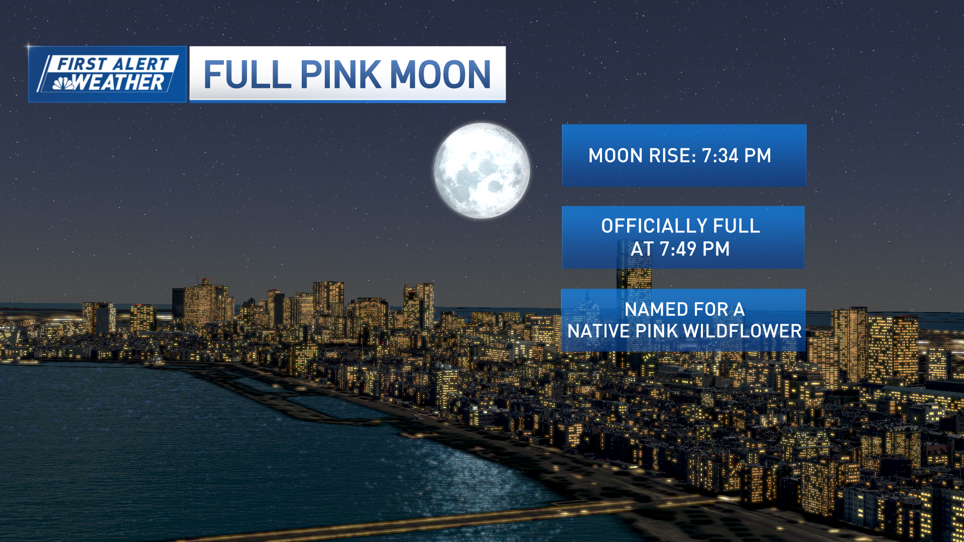
northeast for Monday-Thursday. The full flower moon is Tuesday. The
highest tides of the month are midnight Monday and Tuesday (~12.2'
Boston). This will cause minor coastal flooding, and minor to moderate
erosion along east facing shores. This is worse than last week because
of the moon (and because of last week).
So when do we see sunshine? The readers on Cape Cod of let me
know.. 'The sun is out today buddy, where do you get your information?'
Well we have glimpses here and there, especially Thursday-Saturday. But
the next dry day for New England may not be until next Sunday. Guess
what happens the next week. There is snow falling at Sandberg CA today,
that is only at 4,524 feet above the Pacific Ocean in Los Angeles
County CA. Yup snowing in Southern CA today. This Pacific storm is
stronger than the one from a week ago. Stuck in Bumper to Bumper
Weather Traffic, the storm may not get here until Monday May 23rd.
Along the way it will make headlines crossing the country with more
snow, floods, and severe weather.
I spoke to Joe 'King of Long Range Forecasting' D'Aleo today.
He says we are in for a chilly wet summer, with a chance of a
hurricane. Joe also says he does not mind this wet week. He planted
grass seed, and a robin just laid eggs in the tool rack of his grill.
Not even the dog is allowed on the porch.
Copyright NECNMIGR - NECN


