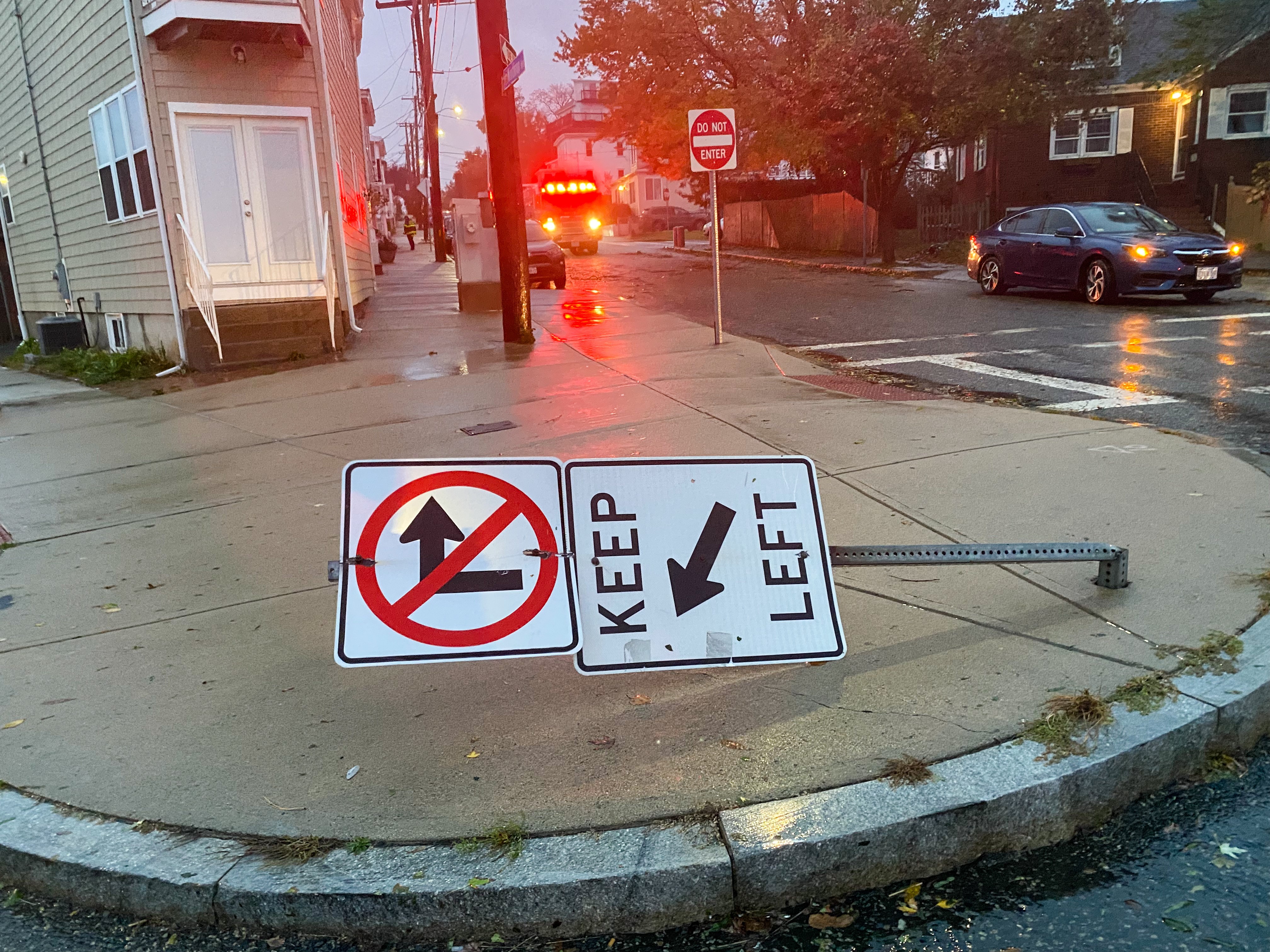
After lashing New England, the powerful nor'easter is slowly moving away Wednesday evening. As the storm keeps pushing further offshore, high winds, coastal flooding, and lingering showers will continue over the southeast overnight -- though they will gradually subside.
Here's what to know as the storm system pulls away from us.
WINDS
Get New England news, weather forecasts and entertainment stories to your inbox. Sign up for NECN newsletters.
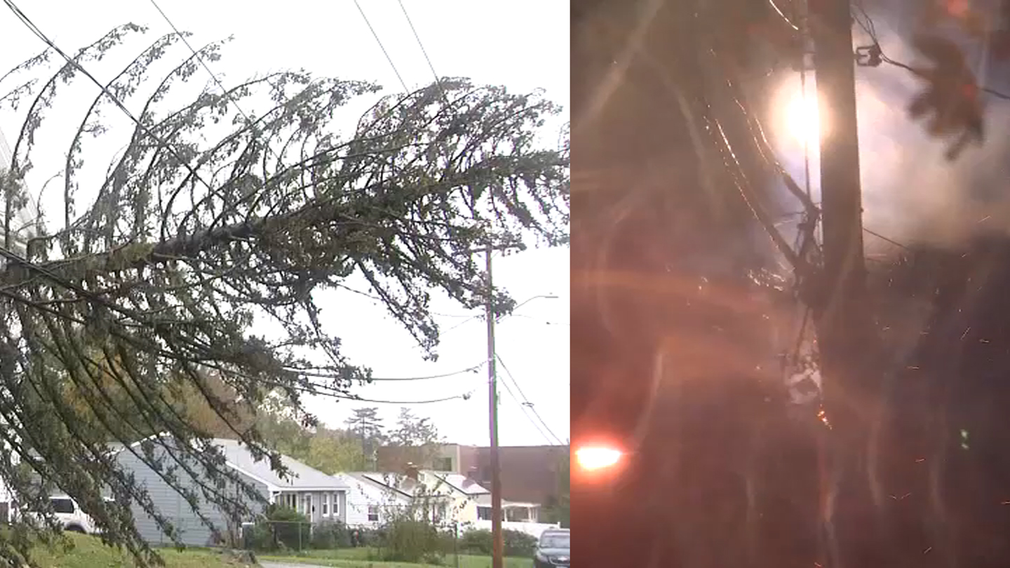
The winds that have been the protagonist of this Nor’easter will fortunately continue to subside Wednesday night.
Our report of strongest wind gusts Wednesday morning affected Provincetown, Massachusetts, with a speed of up to 97 mph, more than 85 mph in Scituate and more than 60 mph in Connecticut.
SEAS
The strong winds affected our shores and brought waves of more than 30-feet high off of Gloucester.
Seas will continue to be dangerous and choppy through Thursday, but we’ll be watching progressive improvement by Friday morning.
RAIN
We'll have steady to lingering light showers Wednesday night into Thursday.
Then Thursday into most of Friday, our rain chances are looking good, much quieter and mainly dry weather returns for us.
WHAT'S NEXT
Another low is headed our way and will be getting here as soon as Friday night into Saturday.
We’ll be watching widespread precipitation once more for Saturday afternoon and another round of active winds speeds. While this low pressure is not expected to become as strong as this past Nor’easter, total rainfall amounts are likely to add up to 1.5-2 inches in the most affected spots.
The primary concern would be the localized urban and poor drainage flooding we could watch by all the saturated grounds and leaves in streets. Overall, we're not expecting as significant weather impacts from the wind with this next rain event for now.
HALLOWEEN FORECAST
Even though we’re starting off Sunday morning with some showers, it’s the pick of the weekend; we’ll be having a mix of sun and clouds with highs in the low to mid 60s.
The evening looks to be decent with drier conditions for kids planning to go trick-or-treating.
NEXT WEEK
Dry weather will make its way into Monday with a high pressure building in and westerly flow taking over, allowing for sunshine to return and above normal temperatures will kick off the beginning of November.
Stay tuned!