
Turn off the air conditioner and air out the house. The humidity took a dive behind a weak cold front that slipped south of New England last night. Now we have depoints in the 50s with a nice night for sleeping tonight.
Patchy cloudiness with temperatures close to 80 should make for a very nice sunset. The sky will end up mostly clear north overnight with lows in the 50s, even some 40s with patchy dense fog in the valleys and in the 60s to the south.
We swap our southwest breeze for a northeast breeze Friday and track in a warm front from the south. Scattered showers spread across southern New England from south to north, and may stop along the Massachusetts Turnpike. The rain will be off and on and a few thunderstorms are also possible.
The showers linger across Cape Cod Friday evening and then we have a brief break. Clouds will be draped across most of the northeast so that combined with an onshore breeze will keep our temperatures in the mid to upper 70s.
Saturday will be just as cool but with increasing humidity. Highs again will be in the 70s. A system will move through, bringing scattered showers and a couple of storms across all of New England.
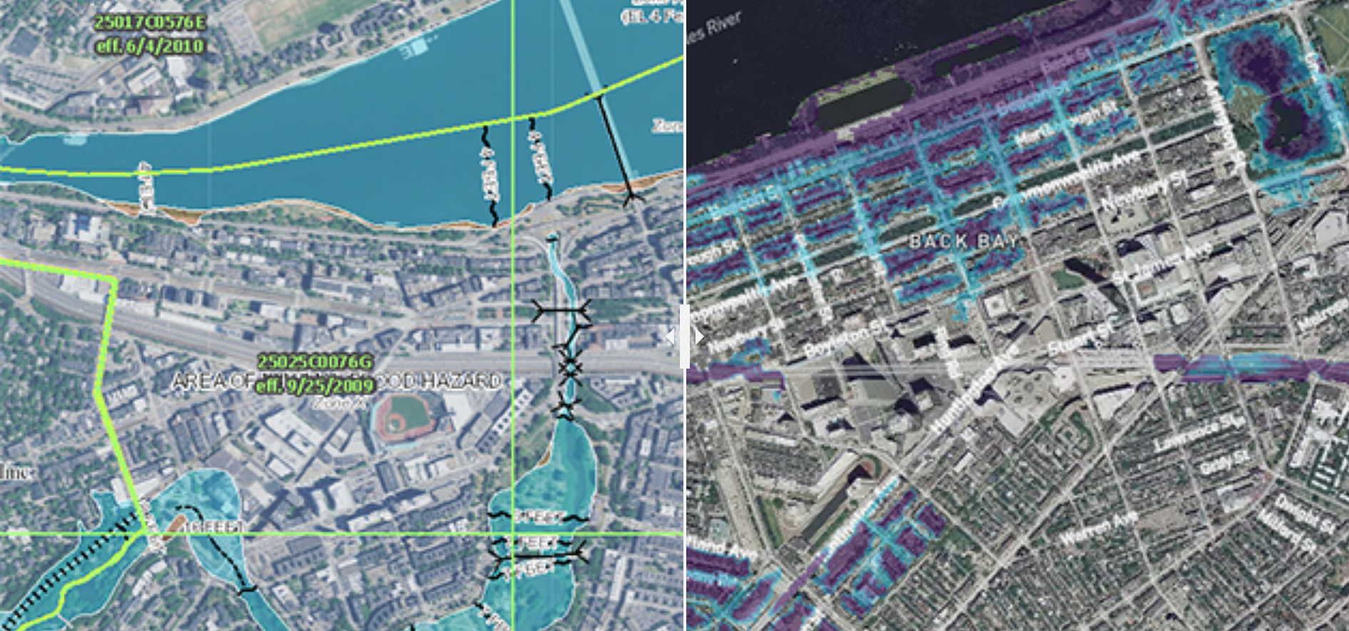
More on Climate Change

Sunday will be the pick of the weekend with sunny skies and highs in the mid-80s but the humidity increases.
We will be hot and humid for next week as highs return to around 90 degrees through at least midweek. By then, scattered storms arrive and temperatures will be back in the low 80s as seen in our First Alert 10-day forecast.
