We don't use the terms dangerous and brutal very much, but with wind chills of -10 to -30 they certainly apply Thursday night and Friday.
How did we get here? And how will we warm it up?
It's simply an extension of the Polar Vortex (NOT the vortex itself) that conspired to sweep Siberian air across the North Pole and down into the Lower 48. It doesn't happen often (last time was in February of this year), but when it does, it's accompanied by nasty wind and sub zero cold.
The warmup in these situations is about as quick as the cooldown. We should hit the 50s by Sunday morning.
Wind gusts have ramped up to near 40 mph, but we've only just begun in that department. We should peak at 50-plus near midnight, then slowly back off into the morning. Not like that's a cake walk, however. Some gusts could still hit 40 mph at times through the morning commute.
Gusts like that could bring down trees and power lines, and as if on cue, we've already had a few. This highlights the biggest worry tonight: power outages = no heat. We're in for a long night in that respect.
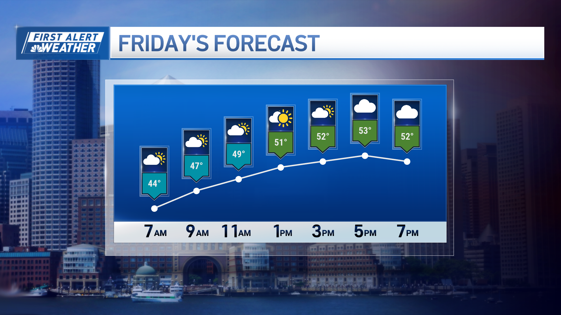
Cold will ease with the wind Friday afternoon. In fact, from the moment we bottom out tonight until midday Sunday, our temperatures will be warming. Starting slow at first, then surging on Saturday night and early Sunday.
Local
We have to pay the ferryman though, and that means snow. We could see 2-5 inches in southern New England and 4 to 8 in northern New England. Snow should start up late Friday night and carry through Saturday morning. Changeover to rain is imminent in southern New England with some mixing north.
The warmth will scurry in early on Sunday before it's swept away later in the day.
We'll return to more temperate numbers on Monday and Tuesday - but still sub-freezing in most spots.
Hang in there and remember check on your neighbors.


