Vermont is bracing for a rough Tuesday night of powerful winds and heavy rain, with Tropical Storm Isaias heading straight over the state.
Public safety officials have issued warnings ahead of the storm's arrival.
"The timing of this is going to be a nighttime phenomenon, the worst of it, anyways," said Scott Whittier of the National Weather Service. "So once you're home, stay home, because the dangers of a fallen tree or flooded roads are not as apparent at nighttime as it during the day."
Whittier said there are two prime threats to Vermont from Isaias.
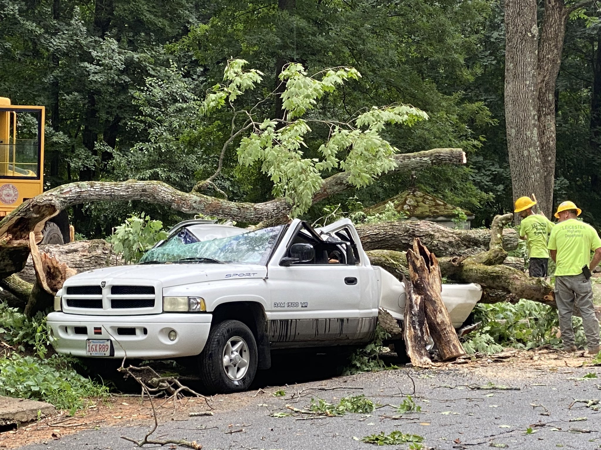
In the southern and eastern part of the state, winds gusts of 50 or 60 mph were expected. Those would be strong enough to topple trees or power lines. And in the western portion, Whittier said there is a chance for localized flash flooding that could wash out certain dirt roads or culverts.
Vermont's major rivers, such as the Winooski River, are quite low right now because of the dry summer we've had, the NWS noted. So their banks can hold some extra water from heavy rain, Whittier explained.
However, there are other ways flash floods can happen, like from rushing runoff from steep terrain, so Vermonters are encouraged to check out Vermont Emergency Management's preparedness tools online.
More on Isaias
"Each of us as individuals needs to take it upon ourselves to understand our surroundings and understand how prepared we are and asked ourselves those domino effect questions of, 'What if, what if, what if?'" said Erica Bornemann, the director of Vermont Emergency Management. "That's what we have to do to prepare our families, that's what we have to do to protect ourselves."
Green Mountain Power and the state's other electrical utilities are also preparing for possible outages from the wind and rain.
"If you see downed trees or downed lines, stay away from them," warned Kristin Kelly of Green Mountain Power.
GMP is asking customers to keep their smartphones charged so they can report any problems that may come up and track estimated restoration times using the company's app or website.
As for that possible flash flooding, Whittier said the risk is greatest on the western slopes of the Green Mountains.


