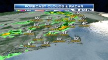
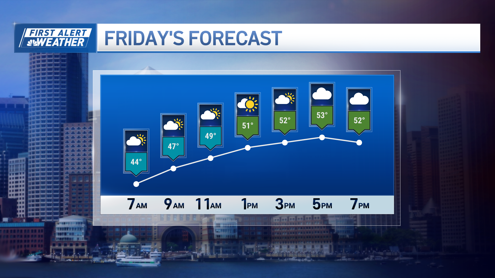
The work week will end on a warm note, with highs expected to surge into the 70s for the second day in a row across most of New England. The only exception will be along the immediate South Coast, and for portions of Cape Cod and the Islands where a southwest wind will act as a slight seabreeze.
Skies will generally be mostly cloudy, but there will be sunny periods. Sunshine will be most widespread in Southern New England.
Along with that we’ll also have to dodge a few spotty showers during the morning and lunch hour. Most of the day will certainly end up being dry though.
A second batch of showers, downpours, and even some thunderstorms will flare up during the afternoon as a cold front approaches.
The first storms will pop up between 2 and 5 PM in areas North and West of Worcester, MA. Between 5 and 9 PM those storms will travel closer to the coastline, the Boston area, and much of Maine.

Widespread severe weather is unlikely, but remember than even non-severe storms can still produce briefly heavy rain, small hail, and frequent lightning.
Local
Clouds will linger into early Saturday, along with a spot shower in far Southern New England, before sun returns during the afternoon.


