Warmer air moves into New England on Monday, triggering a round of showers and thunderstorms during the afternoon and evening. Some storms may contain torrential downpours, possible flash flooding and strong-to-damaging wind gusts.
Temperatures will rise into the low to mid 80s across the south, and the mid to upper 70s across the North Country.
Overnight, a cold front will trek across the region, ushering in cooler and drier air into New England. Temperatures will fall into the mid to upper 60s, mid 50s to low 60s north and low 70s across the Cape and Islands.
High pressure moves in from the Great Lakes on Tuesday, yielding a warm day across the region. Highs reach well into the 80s. The air will feel much drier compared to the air Monday.
Get New England news, weather forecasts and entertainment stories to your inbox. Sign up for NECN newsletters.
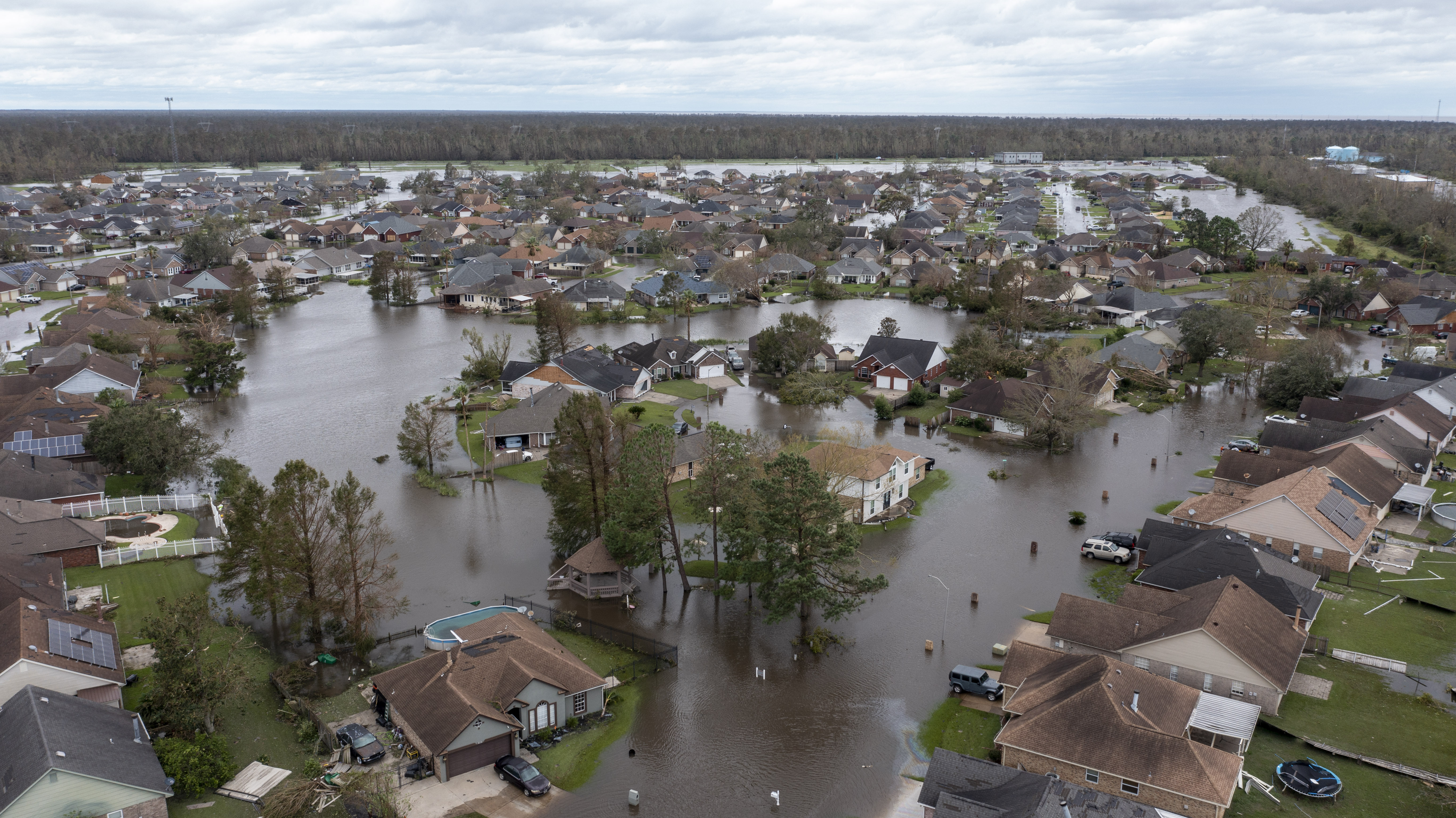
Tropical Storm Ida made landfall over southern Louisiana on Sunday as a major Category 4 hurricane. The tropical remnants of the system will traverse across southern New England beginning on Wednesday, leading to heavy rainfall and potential flooding Thursday into Thursday night.
More on Tropical Storm Ida
Wednesday will start off mostly cloudy, followed by an increasing chance of showers into the afternoon and evening as Ida’s remnants approach from the southwest. Temperatures will be cooler than Tuesday, in the mid to upper 70s.
Heavy rain moves in Thursday morning, lasting through the day with potential flash flooding occurring in typically vulnerable low-lying areas. Winds will blow out of the north and northeast at 10 to 20 mph, gusting up to 40 to 45 mph.
By Friday morning, 2 to 4 inches of rain, with locally-higher amounts, will have fallen across southern New England, adding to an already abnormally-wet summer. An area of low pressure will develop along the coast, bringing scattered showers for most of the day, especially across the South Coast and the Cape and the Islands. Showers will also continue across northern and eastern Maine.
High pressure builds in behind the departing low Friday night into Saturday morning.
We're expecting dry and mild days on Saturday and most of Sunday before showers move in ahead of an approaching cold front toward the end of Labor Day weekend on the exclusive 10-Day Forecast on NBC10 Boston and NECN.


