What a way for Old Man Winter to stick it to us. A wobbling, misbehaving, cuss of a storm that has been on our radar for a week has finally come home to roost.
Even as I write this, the snow projections keep changing: now putting Boston outside of the band of heavy snow and focusing it more on the Canal. Truth be told, that kind of variability is normal this close to the storm. What happened over the last few days (from nearly a foot of snow to nothing in 24 hours) is not.
From an observational standpoint, if you look too hard at these things, you begin to argue with your own logic (which can be healthy to a point) and become petty. I found myself wrestling with the idea of six inches in Southie and five inches in the North End. Wiggles, jogs and flinches aside, we have to make a call. And so we have. The map up top pretty much has our best estimates and reasoning behind it, so now we just sit back and let it all unfold.
Bring in the Snow
Arrival time will be staggered across the Commonwealth, Connecticut and Rhode Island. Buzzards Bay to Coastal Connecticut will see it around 8-9 p.m., and closer to 10-11 in Greater Boston and after midnight in the Merrimack Valley, Southern New Hampshire and Maine.
Snow ramps up in the wee hours, with snowfall rates of one to two inches per hour possible. Roads will go downhill pretty fast and some of that slop will be around for the morning drive - thanks to the fact that we'll have another band of heavy snow just before sunup.
After 9 a.m., the snow will lessen, but still be flying. It's here that the brightening of the overcast will make it hard for the snow to accumulate. It's late in the season, and the sun is much stronger these days. It actually will penetrate the clouds and boost temps. Pretty cool, eh?
Local
Winds? Coastal Flooding?
Not a major player this time around. Some gusts may be near 40mph on the Cape/Islands, but generally 20-30 along the coast and 15-25 elsewhere. That's good news because the snow will be sticky away from the coast and pretty runny along it. That alone will still lead to some scattered power outages into tomorrow morning. Get the flashlights ready.
Wrapping it Up
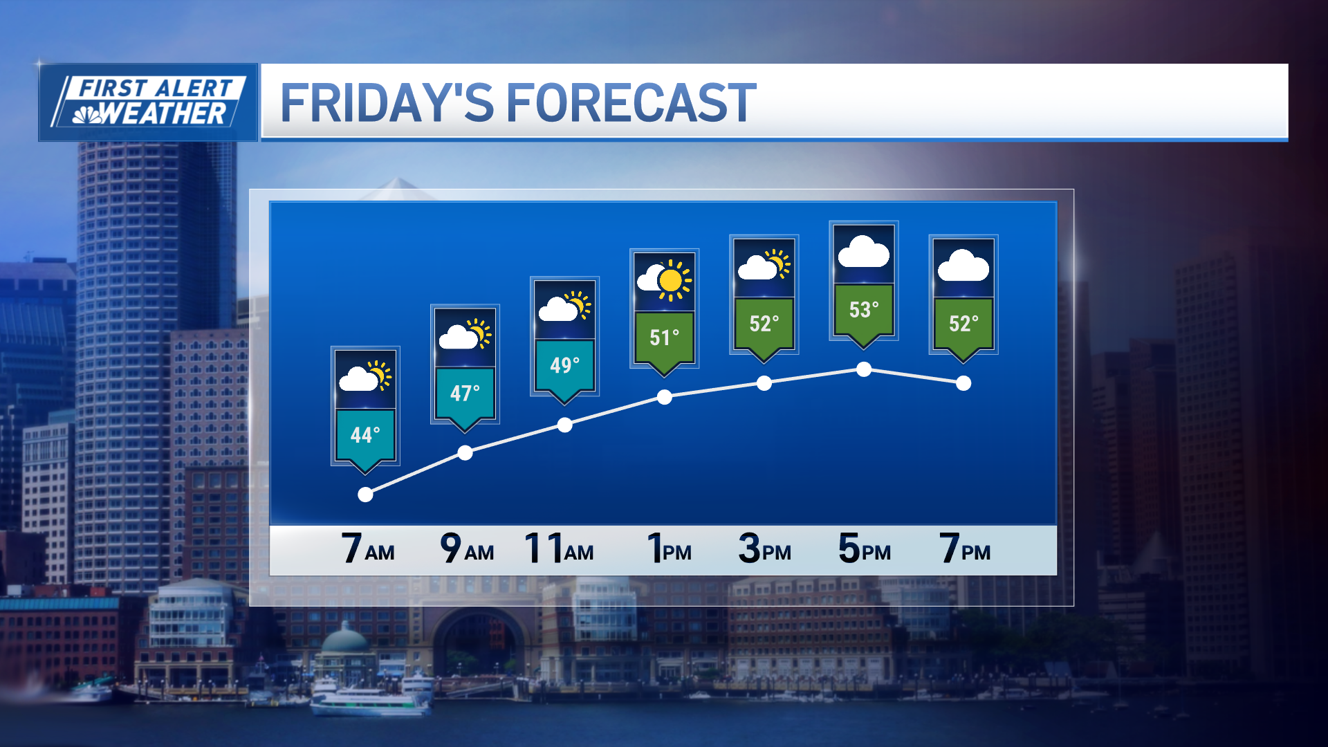
End game comes around noon, with sun making a cameo in the afternoon. We'll melt a good part of the snow tomorrow afternoon and finish it off on Tuesday with highs in the 40s.
Click here to view our interactive radar. Find the latest forecast here. See the latest weather alerts here. You can find information about power outages and other emergency resources here. Click here for the latest information about school closings.
More updates through the night.
Pete


