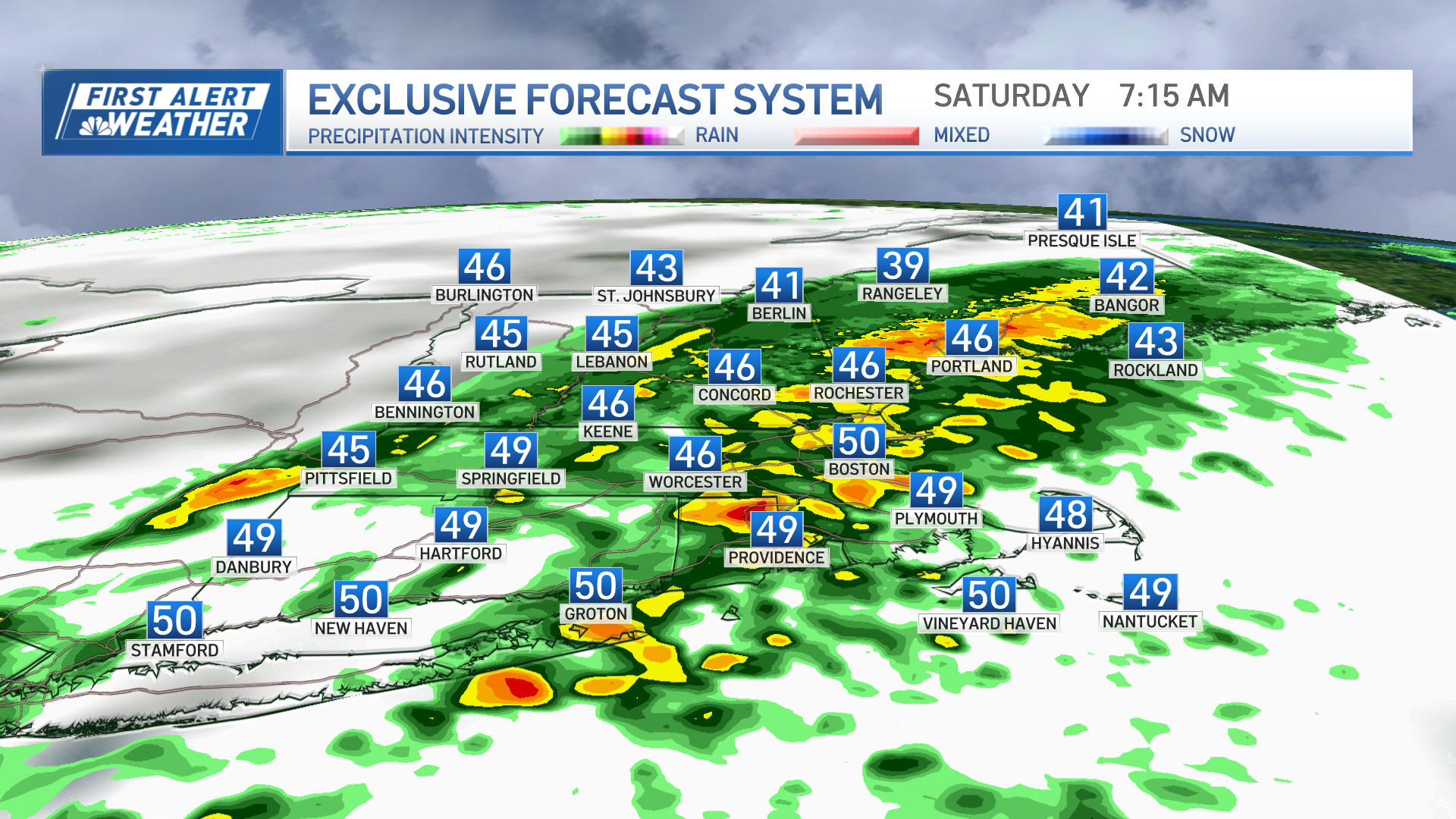
Windswept rain continues across nearly all of New England except some of the far North Country as moisture pinwheels west from an ocean storm south of Nova Scotia.
A solid one to two inches of rain falls from this event, and while coastal flooding earlier Friday morning is receding with the passage of high tide, recurring minor coastal flooding is possible on Nantucket again Friday evening and Saturday morning high tide.
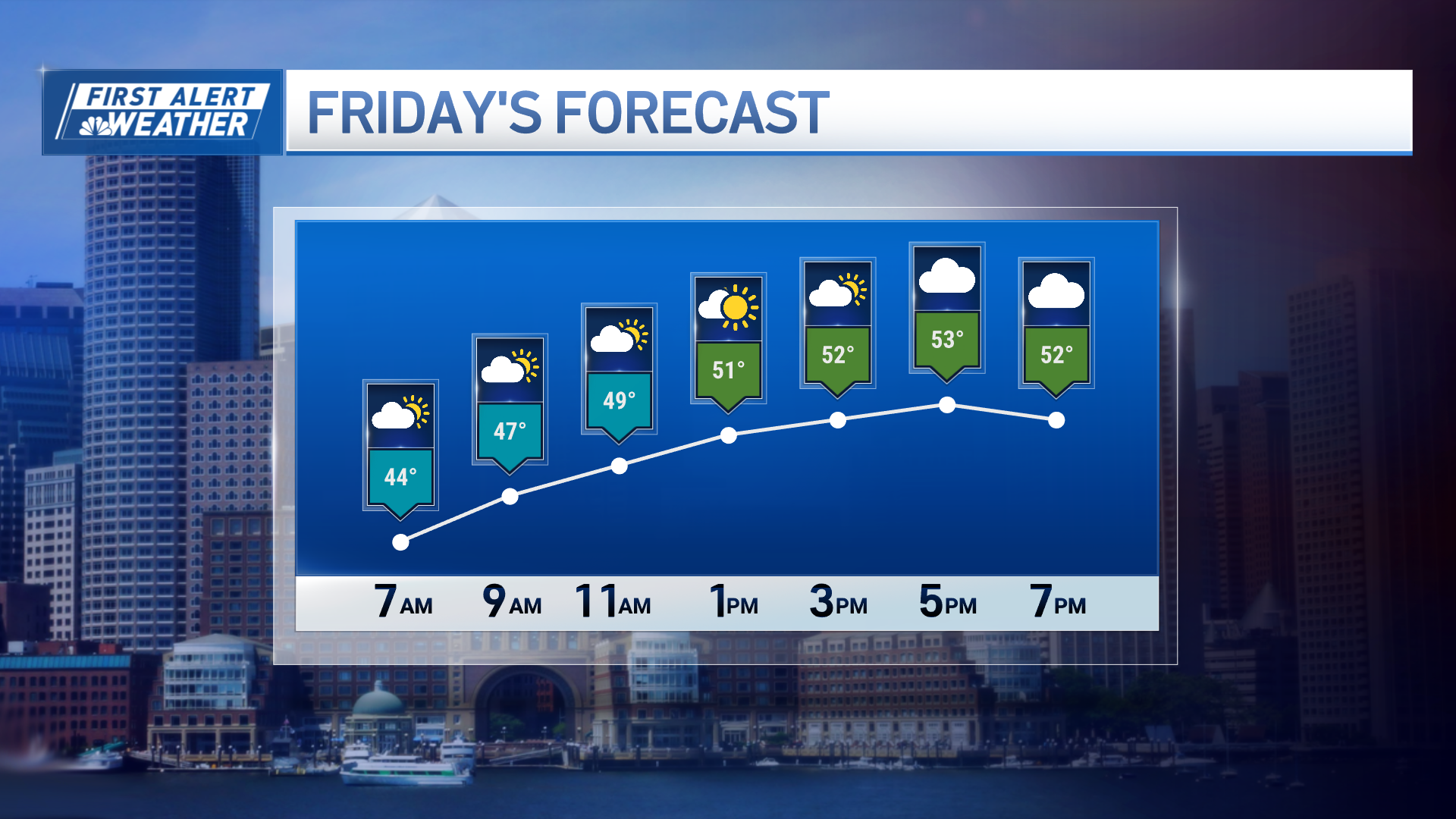
For the vast majority of New Englanders, this is a cold, windswept rain with highs in the 40s and an ambient, or “feels like,” temperature in the 30s with wind gusts to 35 mph.
For the immediate coast from Cape Ann to the South Shore and Cape Cod, however, gusts to 45 and 50 mph are possible, meaning isolated power outages will be a possibility Friday, but widespread damage is not expected.
Light rain continues through Friday night and into Saturday morning, slowly evaporating from interior to seashore Saturday morning, but clouds will be stubborn with a north-northeast wind, breaking a bit from north to south Saturday afternoon.
Sunday will be dry – for the most part – a disturbance approaching from the west will be slow enough to hold showers off until Sunday late day and evening in the North Country and Sunday evening and night elsewhere, but the clouds advancing ahead of it mean the entire day won’t be brilliantly sunny – still, a mostly dry day with high temperatures around and over 50 degrees is a step up.
Weather Stories
We think, of the next 10 days (and the past 5!), the climax of weather will be sunshine on Monday with highs in the 60s.
By midweek, showers are moving in again from Tuesday night into Thursday, with those showers likely culminating in a powerful storm developing near or northeast of New England Thursday into early Friday… delivering a shot of rain for many but causing us to keep an eye on the potential for mountain snow and perhaps even a few Friday morning snow showers for more of us as the storm starts to pull away.
Behind that storm, a shot of cool air is expected to start next weekend, but we expect that air to be dry enough for a cool but fair start to the weekend, with a chance of returning showers possible Sunday.


