
It’s a rare set of circumstances in New England when Thanksgiving week rolls around and no storms are in sight in the days leading up to and through Thursday.
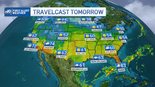
It’s even more rare for that to be the case nationwide, with no travel problems due to weather expected – but that’s exactly our setup this week.
A break in what has been a recent parade of disturbances riding the storm-steering jet stream winds aloft over the last week will also result in a break between storms. The next sign of storminess won't emerge until a few showers around Dallas Wednesday grow to an expanding shield of rain from Houston through Memphis and up to St. Louis on Thanksgiving Day.
Get New England news, weather forecasts and entertainment stories to your inbox. Sign up for NECN newsletters.
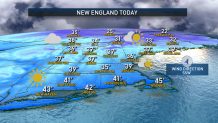
Here at home in New England, the quiet weather begins cold. After Monday morning, wind chill values in the single digits and teens rebounded to the 20s and around 30 Monday afternoon, with actual high temperatures only near 40.
Monday night will be cold, but not as cold as its predecessor. Expect lows in the 20s and 30s for most and a lighter breeze. Tuesday brings a noticeably lighter wind and temperatures reaching 45 to 50 degrees by afternoon under ample sunshine for a significant improvement in feeling to the body from Monday. Northern New England will be slightly colder in the days ahead, but this bodes well for ski areas, where snow-making operations will continue full-bore in the days leading up to the holiday.
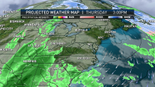
As the new, developing storm approaches Friday, milder air will stream north with it, bumping temperatures into the 50s for most of southern New England, with rain showers expected to arrive by Friday afternoon and last through at least Saturday morning. Meanwhile, the North Country mountains likely start with a few inches of snow but may inevitably change to rain by Saturday, though rain amounts by that point may be limited.
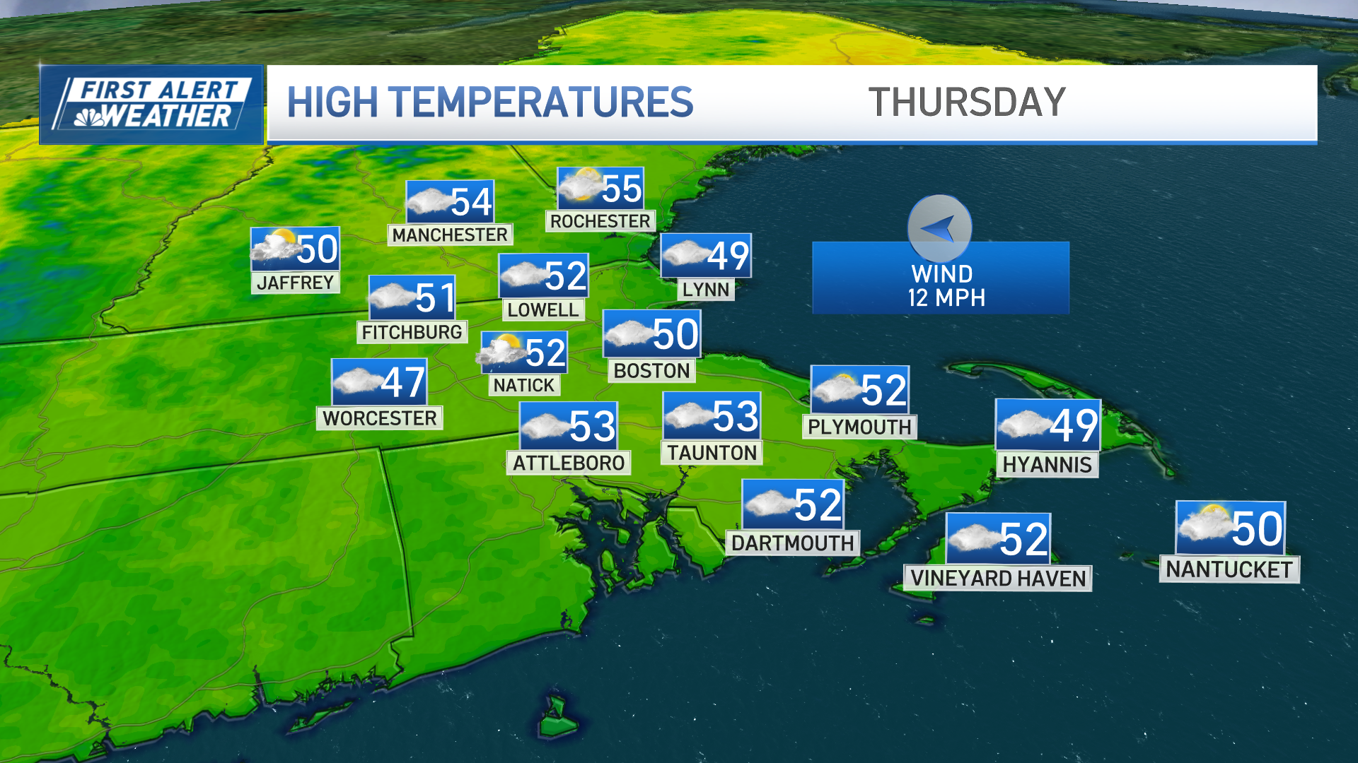
Colder air returns for at least overnight snowmaking again by Saturday night into next week, while southern New England finds a break from subfreezing temperatures for a few days Thursday through Sunday. All the while, the moon will line up for relatively high tidal levels Thursday through Saturday, which means our coasts will see either splash over of seawalls or perhaps some pockets of minor coastal flooding in typically vulnerable spots.
Weather Stories

At this point, our exclusive First Alert 10-day forecast shows temperatures near or warmer than normal until the start of December, though we do see signals of a pattern change back to colder air starting sometime around December 3.
