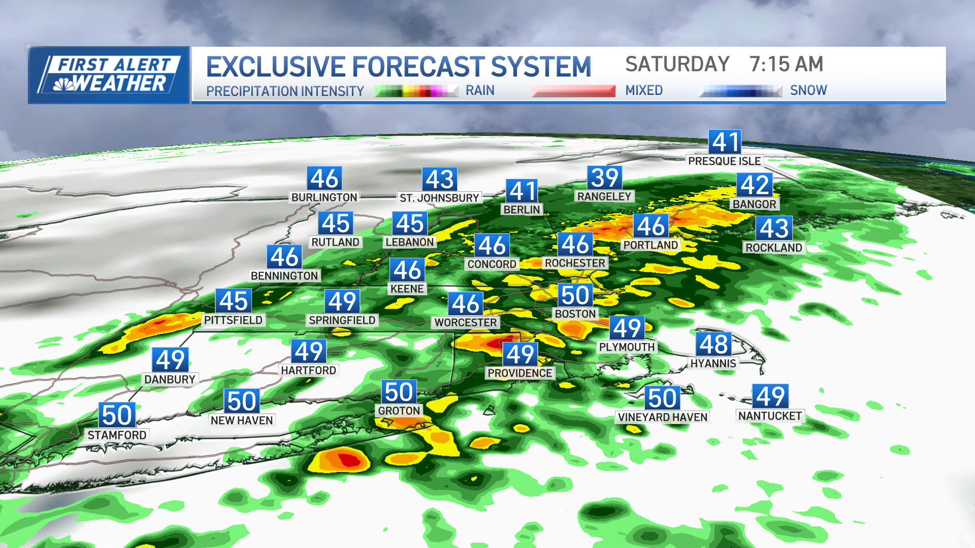
Waves of low-pressure rippling along a boundary just south of New England will be generating periods of snow, sleet, freezing rain, and rain for much of New England Tuesday.
We are in First Alert for the third or fourth plowable snowfall in three weeks. We are losing track of how much snow, but snowfall amounts to date are off to a roaring start this winter of 2019-2020.
Snow arrived before the morning commute in Connecticut and spreads north and east to southern Maine during the commute. We have hundreds of school closings and postponements Tuesday morning.
Snowfall rates of one inch per hour, and greater, are resulting in a fast buildup of snow on our roads. But the intensity should diminish at times, with a total snowfall of generally 4 to 8 inches. But the bigger problem is a layer of sleet and freezing rain for many in Connecticut, Rhode Island, and Massachusetts.
There is really no best time to travel Tuesday. The exception could be where we get plain rain along I-95 in Connecticut and I-195 in Rhode Island, as well as southeastern Massachusetts and most on Cape Cod and the Islands. Those areas are just wet by mid-day and through the evening. Near the Canadian border, this storm is mostly a miss.
Some of the worst weather is probably in Connecticut, where we have a period of rain in the forecast with temperatures staying below freezing. That means ice accretion on tree branches and on untreated surfaces. We may have enough weight of ice on trees to result in broken branches and scattered power outages.
Temperatures in the 20s to lower 30s, but reaching the lower 40s along the south coast. Wind is not much of a major factor -- from northeast 10 to 20 mph. But during the evening, the wind shift coming from the north and northwest will cause the temperature to go below freezing again.
Weather Stories
This means that even areas that have wet weather in the afternoon may see a re-freeze in the evening and overnight as precipitation winds down from west to east around midnight.
We start off with dry weather and sunshine Wednesday, but clouds build rapidly as a powerful arctic cold front blasts from Canada in the morning, to the coast of southern and eastern New England by evening. This front will generate heavy snow squalls and perhaps some thunder. It’s only a half inch or an inch of snow at most for lower elevations, but it may be timed during the day and perhaps have high impact on the evening commute if there’s a rapid freeze on the roadways.
Temperatures in the 30s to near 40 degrees ahead of the front, but fall rapidly through the 20s and even teens after the front goes by. The story for Thursday is biting cold weather with more sunshine than clouds. High temperature only in the single numbers north and with teens to low 20s south. Wind gusting close to 50 mph, creating a wind chill factor below zero for most of the day.
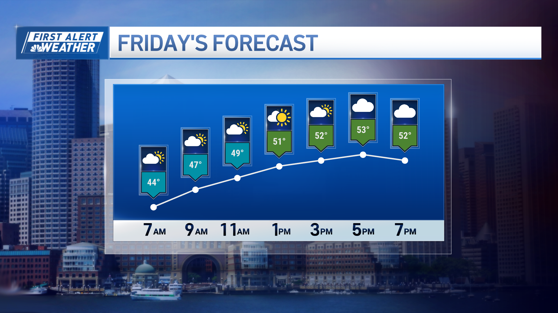
It is still a brisk wind on Friday, with temperatures starting off near 0 degrees, climbing to the 20s south. Temps will be in the teens up north by afternoon as wind only slowly diminishes.
The weekend forecast currently looks dry and seasonable. The temperatures will be back in the 30s by day, but there will be an ocean storm forming to our south and we will have to monitor it for later in the weekend and first part of next week. If it stays offshore we may actually string a few bright days in a row together, as seen here in our First Alert 10-Day Forecast.


