Rain and snow are moving in for the evening commute but it's a different setup than Monday, with snow changing to rain. As a result, roads will be pre-treated.
Timing and estimated snow totals across New England
That’s not to be interpreted that slick roads won’t develop, because they will: a narrow band of light snow with little impact for most of Southern New England around midday will settle into the northern half of New England and western New England during the afternoon, making roads slick as a coating to an inch accumulates through sundown. Farther east, as snow increases Monday evening from 5 p.m. onward, roads will get slippery, particularly between the hours of 6 and 8 p.m. and especially north and west of Boston. The Route 2 corridor of Northern Massachusetts and points north see a longer period of snow, and therefore increasing snow totals, with much of Vermont to the Lakes Region of New Hampshire and interior Maine, away from the coast (immediate coast changes to rain after 1” to 3”), receiving 4” to 8” of snow, and another 8” to 12” snow in the northern New England mountains.
Get New England news, weather forecasts and entertainment stories to your inbox. Sign up for NECN newsletters.
Gusty winds could cause outages overnight
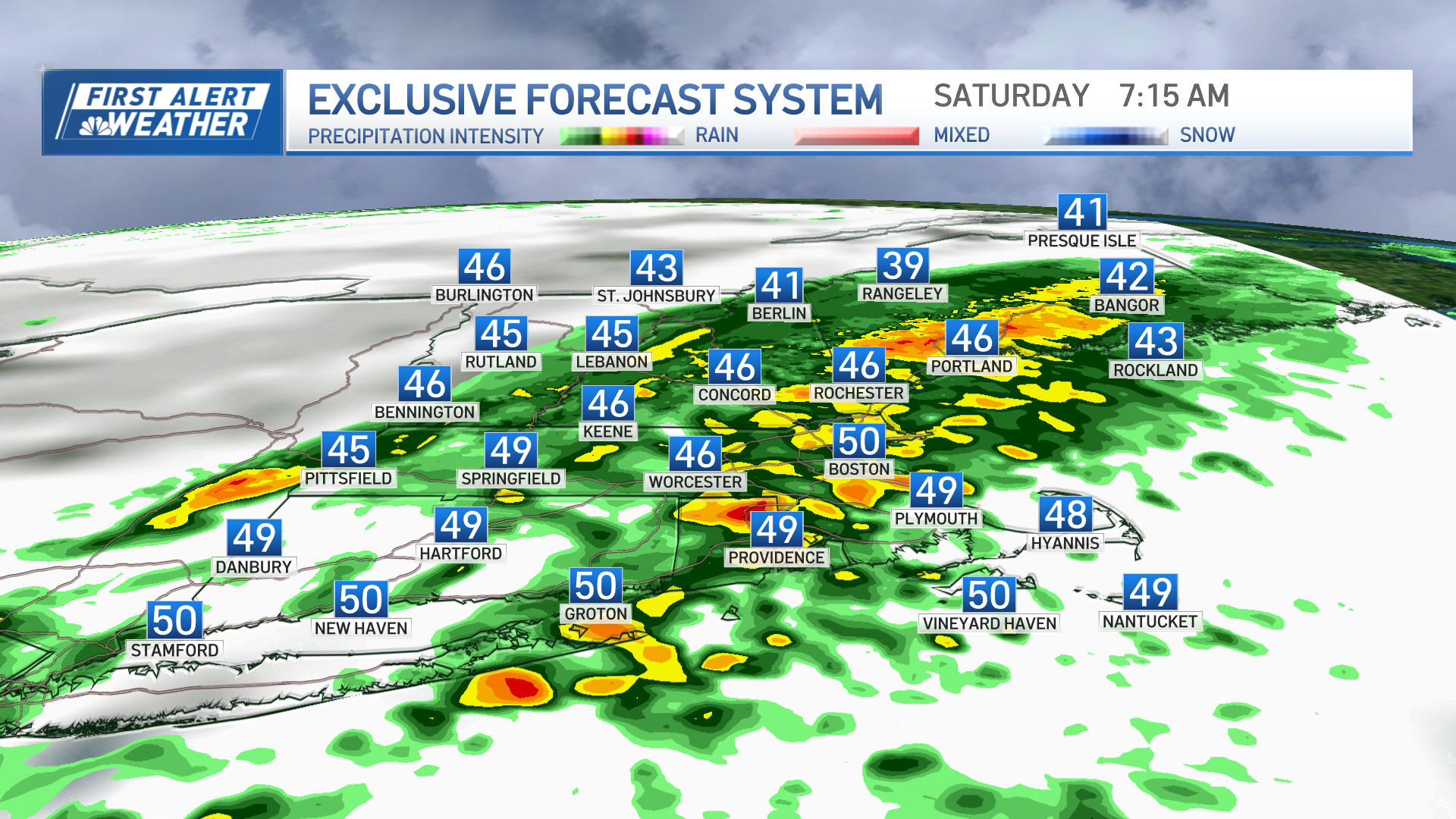
The change to rain overnight Wednesday night marches all the way up to the mountains, where snow turns to sleet before ending, but all of this will mean messy road conditions with around an inch of rain and melting snow causing big puddles into the early morning Thursday. Meanwhile, wind gusts will increase for the coast to over 35 mph overnight, then reach over 45 mph in Southeast Massachusetts and perhaps even briefly gust over 60 mph on Cape Cod predawn Thursday, resulting in isolated power outages before the rain moves offshore during the morning, opening the sky for breaks of sun.
Thousands of people were still without power Wednesday morning following Monday's story. We'll be tracking power outages across New England.
Weather Stories
Although the south wind shifts to blow from the west-southwest, gusts will still reach 45 mph or higher in spots through the day, but temperatures starting near 50° predawn will likely stay close to that through the day in Southern New England, with 30s in the North Country where scattered snow showers will crop up.
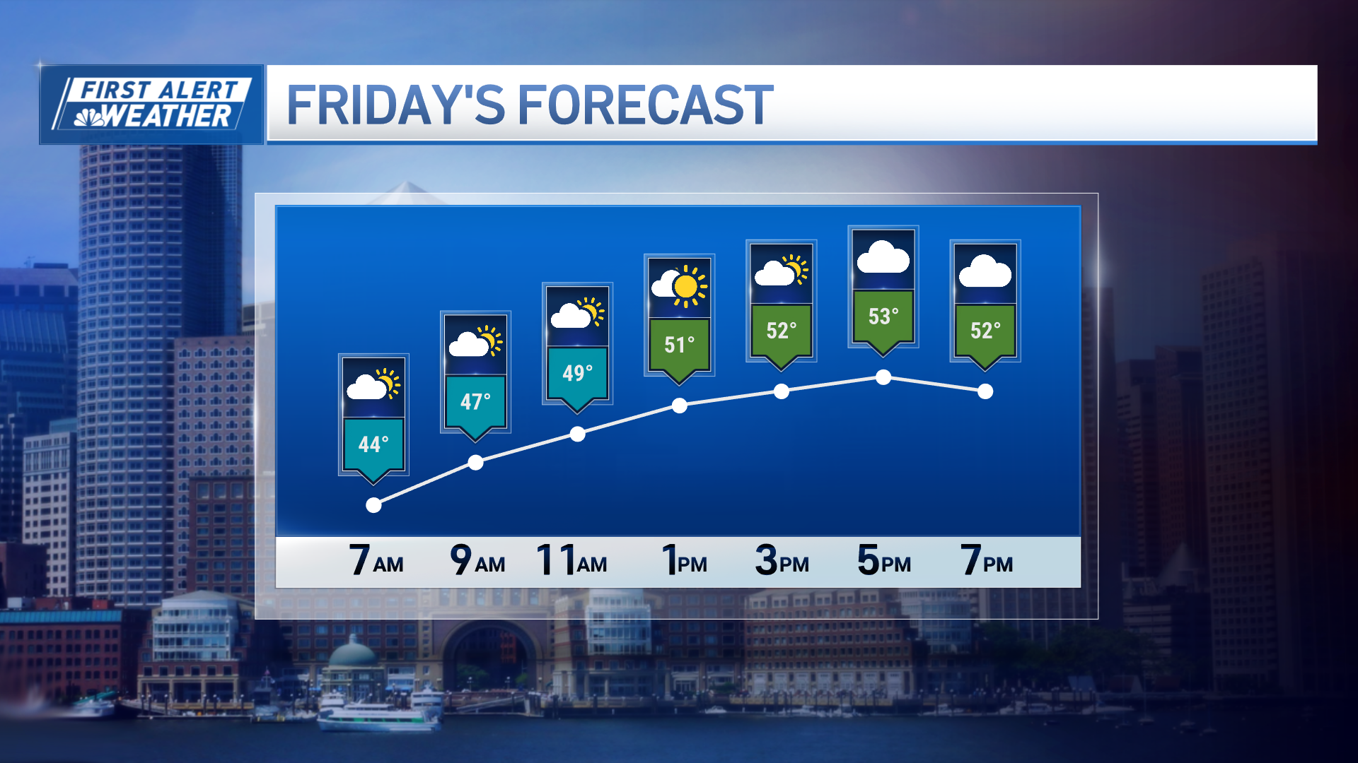
Friday and Saturday will bring dry and cool – but not cold – conditions to much of New England, with a quieter wind Friday and Saturday snow showers expected in the mountains, where the breeze will be busy from the west Saturday but not likely enough for chair lift holds at ski areas. Clouds thicken Sunday ahead of a fast-moving system that may deliver a bit of light snow overnight Sunday night, then another storm system will pass close to New England at the middle of next week, raising the chance of some snow or rain in the exclusive First Alert 10-day forecast.


