The powerful storm blasting New England on Monday continues to truck along to the northeast.
While cold air wraps around the belly of the storm and makes its return to the region, winds will shift from damaging gusts out of the east and southeast to fresh but non-damaging winds out of the southwest.
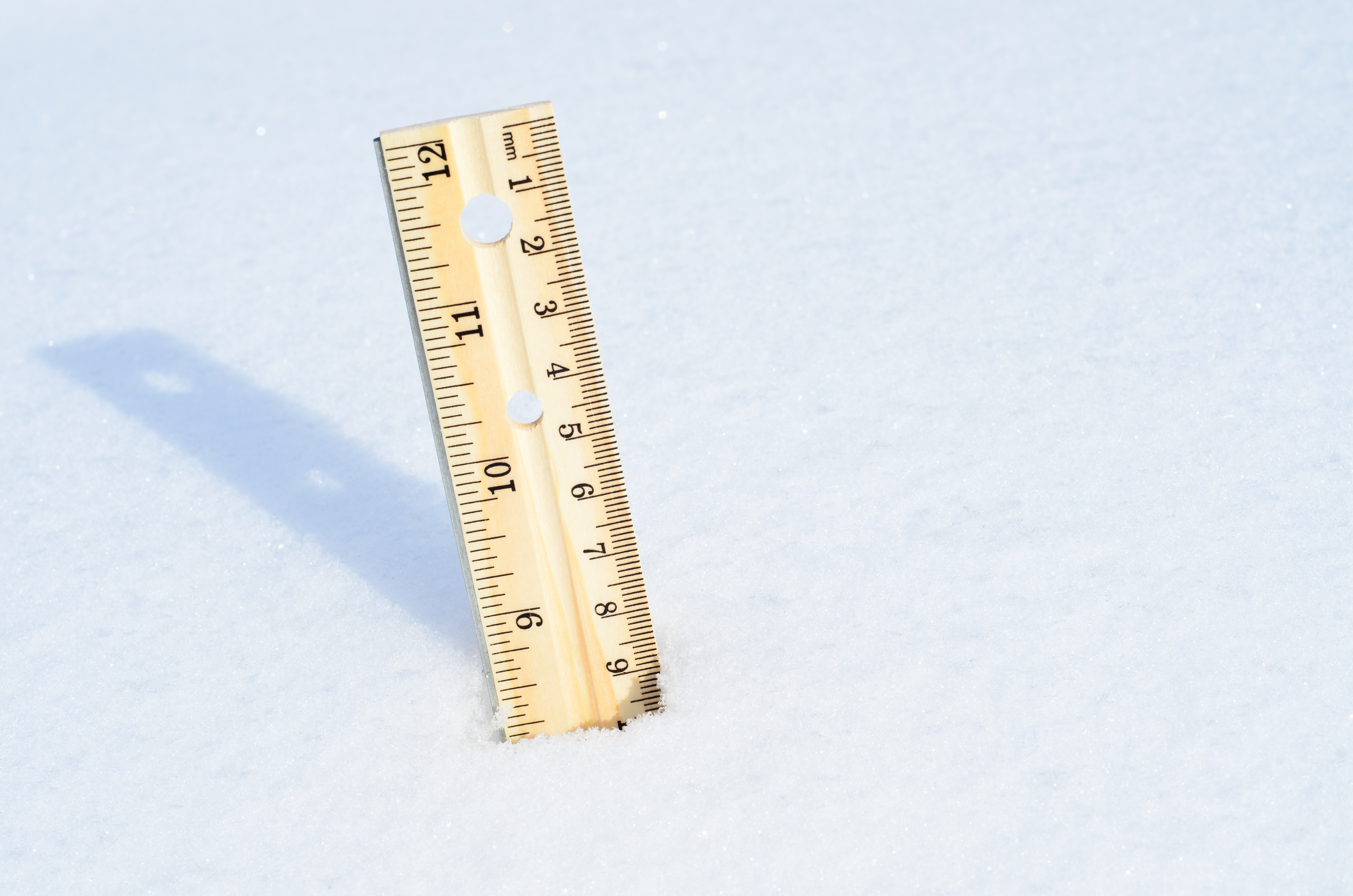
Many inland communities picked up four to eight inches of heavy, wet snow Monday morning with as much as a foot falling in more mountainous terrain.
Areas closer to the coast saw only a little snow before ocean warmth surged in from the coast and brought temperatures to nearly 50 degrees, changing precipitation to rain in the process.
Get New England news, weather forecasts and entertainment stories to your inbox. Sign up for NECN newsletters.
The colder air returning late Monday into Monday night will cause some slick spots where lingering moisture freezes on untreated roadways. However, the descent below freezing won’t be sudden, but rather a gradual decline on a chilly breeze.
By Tuesday, the new air will be chilly but dry, affording plenty of sunshine even as temperatures struggle to get beyond 30 degrees and the wind chills hover around 20 at the warmest time of the day.
The rest of the week features fairly benign weather overall. Swings in temperature will come day-to-day with the passage of weak disturbances.
One of these disturbances will deliver clouds with northern New England snow showers Wednesday as temperatures surpass 40 degrees in southern New England Wednesday afternoon.
Then another dragging a cold front will move across New England overnight Wednesday into Thursday morning. That front will bring rain showers ending as snowflakes and another shot of chilly air that will only strengthen as we slide into Friday and the weekend.
It’s this weekend when we find our next chance of snow: far from guaranteed but worth watching as the above cold front stalls south of New England, over the Atlantic waters, and funnels multiple storm centers along the front.
With New England on the north side of these storms, we’d be on the snowy side if the storms come close enough to spread precipitation into New England, but that’s the important question this far out: will the storms come close enough to make an impact?
For now, we maintain a chance of snow later Saturday into Sunday, hinging upon how these storms come together, with seasonable January air lingering into next week