Although Sunday’s summer heat of 80s and lower 90s was an appreciated gift for some who’ve been aching for summer, Memorial Day remembrances and ceremonies outside will be much more enjoyable in the new, fresh air that has arrived for the holiday, with high temperatures some 20 to 25 degrees cooler than Sunday, topping out in the 60s east and 70s west.
The remarkable part of this change is the lack of any fanfare with such a dramatic overturning of air – the overnight cold front passage brought no showers and nary a cloud to New England, just a wind shift to mark the change. Meanwhile, a storm stalled over the Mid-Atlantic with recurring showers, day after day, remains stalled there for a few more days, but simply can’t push north into our wealth of dry air.
Instead, New England’s biggest day-to-day changes in the weather this week correspond to changing wind direction, with cooler days when the wind travels across the cool ocean waters, where water temperatures are still in the 50s. Memorial Day Monday has been one such day, and Tuesday will be another.
Get New England news, weather forecasts and entertainment stories to your inbox. Sign up for NECN newsletters.
The difference between Monday and Tuesday comes largely with regard to wind intensity, with Monday’s east-northeast gusts as high as 30-40 mph in Eastern New England, helping to bump brush fire danger to high in the recent dry conditions and churning the seas to waves of three to six feet, not only meaning a bump for pleasure craft boaters but also some rip currents at area beaches.
Keep in mind rip currents are narrow, so if you find yourself caught in one while swimming at area beaches, swim parallel to shore, or along the shoreline, to break out of the pull to sea.
Pollen count remains high with oak and grass as we await the arrival of pine pollen, and UV index is very high for quick sunburns, even in the new, cooler air, as temperature has no bearing on sunburn potential. Tuesday’s wind will be markedly less. Sunshine persists for days on end, save for some wispy, high-altitude cirrus clouds in Northern New England Tuesday.
Weather Stories
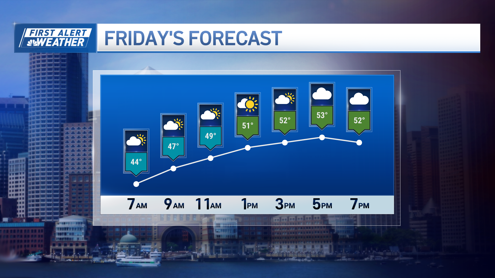
Midweek will bring a shift in the wind to blow gently from the south, allowing temperatures to rise, then a southwest wind returns Thursday with high temperatures around 90 degrees for many. Chances are good Friday will end up just as hot for most of New England, though a cold front arriving during the day will be the determining factor, dependent upon exactly when it arrives and whether it sneaks down the coastline quicker than inland, resulting in a temperature difference by afternoon.
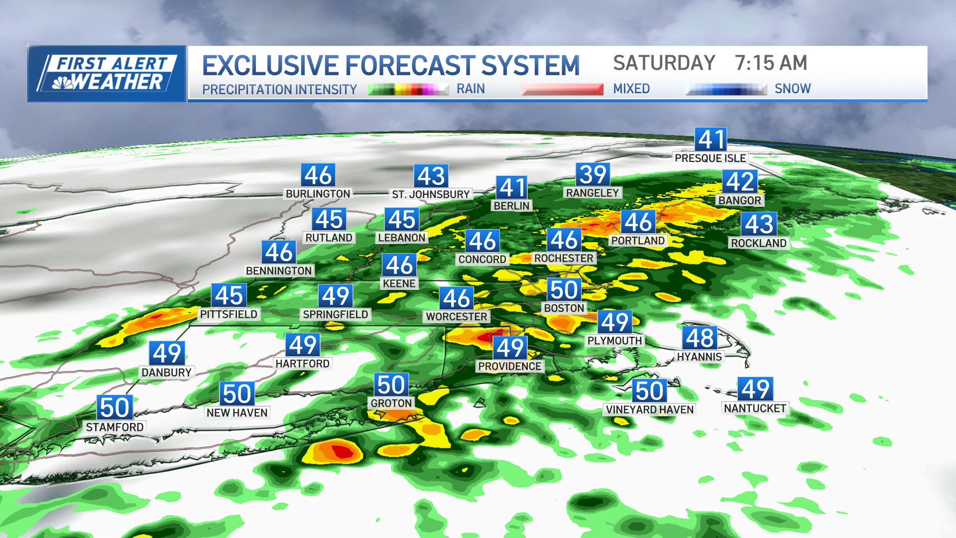
Either way, the arrival of the cold front raises the chance of scattered afternoon showers and thunder, then a new shot of pleasant and cooler air arrives for the weekend, though a few showers may still crop up from time to time Saturday. At this point, it looks in our exclusive First Alert 10-day forecast like the more comfortable air will stick around for at least a few days, into early next week.


