
For the next couple of days, we expect quieter weather. We will see a mix of sun and clouds, but with several upper-level disturbances moving through we could see rain or snow showers almost any day through Thursday.
Friday will be the calm before our next storm. Models don't have a great handle on the next system yet.
At this point, the timing looks to be over the weekend. Impacts range from heavy rain and wind to some rain at the coast and snow in the mountains. Stay with the First Alert Weather Team as we continue to evaluate this situation.
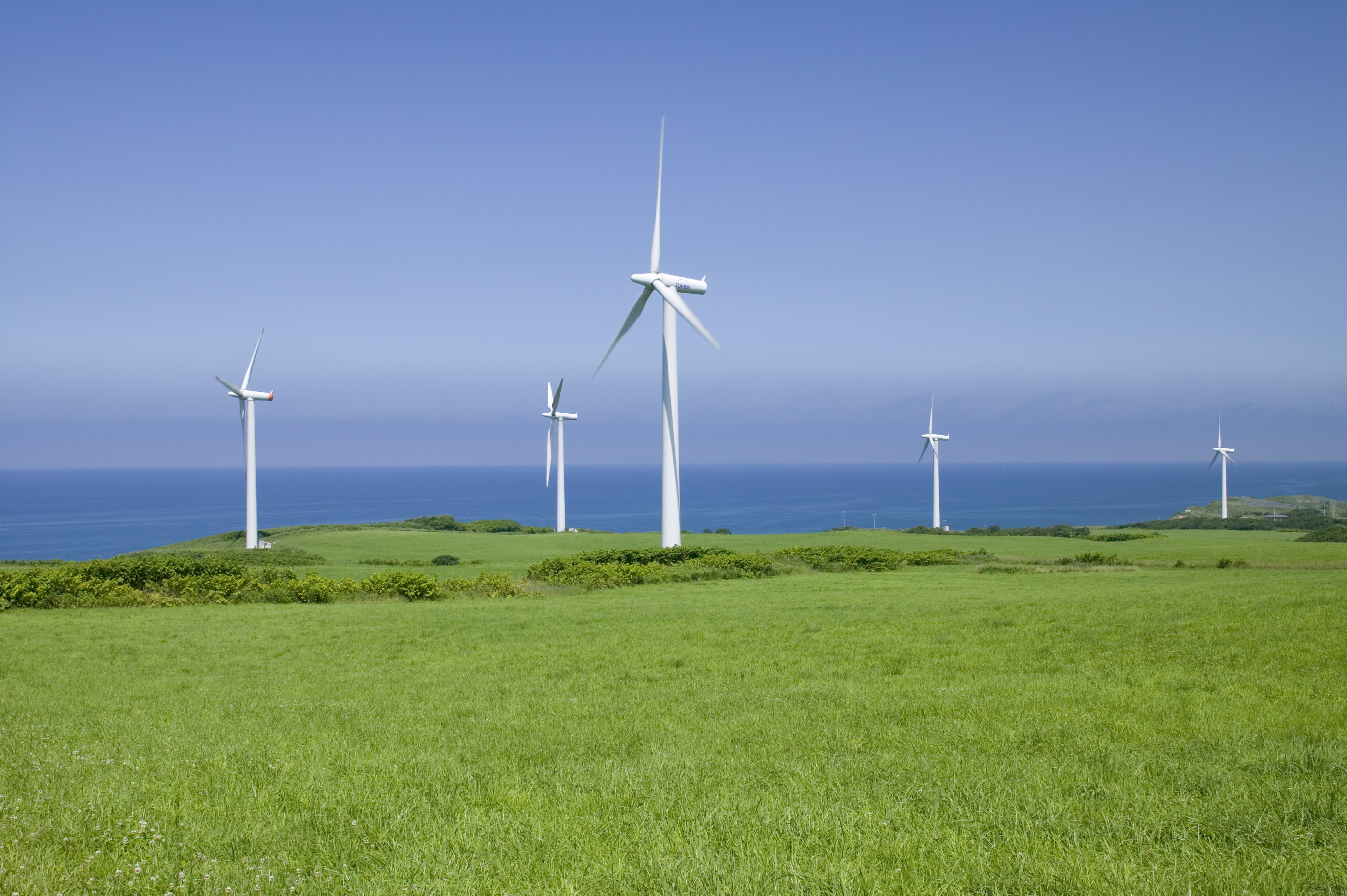
More on Climate Change
As we begin the first month of meteorological winter, it looks like December will end up being warmer than normal with above average amounts of precipitation.
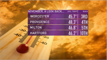
November ended up being a top 10 warmest for many locations in New England. It was the 10th warmest in Hartford, 5th at Blue Hills, 4th in Providence and 3rd warmest in Worcester.
Temperatures in the Arctic were a shocking 14 Celsius above average! It was the warmest day recorded during meteorological winter in Caribou, Maine, where the temperature climbed to 60. It was warmer across parts of New England than it was in parts of the Southeast.
