The feel of summer continues for our Sunday afternoon but not as bright as Saturday. A weak front with moisture left over from former tropical storm Beta is sending humidity up in much of New England today.
In addition, high-pressure well to our east is supplying an ocean breeze to parts of southern and eastern New England. And a cold front well off to our west is starting to have some influence, too.
The net result is more clouds than we had Saturday, that’ll keep the temperatures a little cooler, mostly in the 70s, but with a few spots getting more sunshine that will touch 80 degrees.
The dew point has come up to near 70 degrees at the south coast, resulting in another layer of fog slow to burn off in much of Southern New England.
Cape Cod and the Islands had the least amount of the fog Sunday morning, but now clouds are filling in with a chance of a shower. In Foxboro, the Patriots are hosting the Las Vegas Raiders under mostly cloudy skies with a chance of a shower, and temperatures in the 70s.
Showers and clouds will become more widespread overnight with another round of patchy dense fog, and a low temperature in the 60s. We may set record high low temperatures the next several nights as we stay on the warmer side of the front.
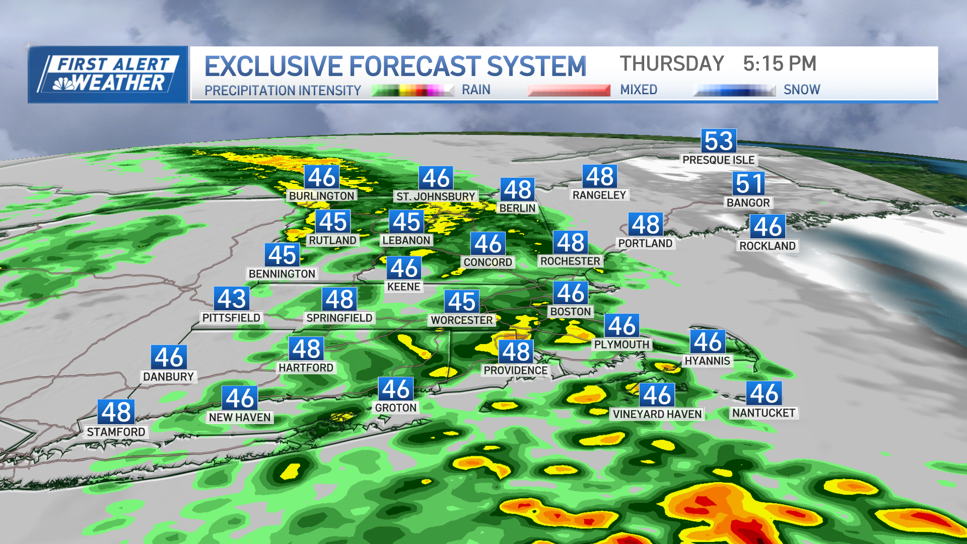
The front, or several fronts off to our west, are going to generate showers each day going forward through mid week. It may take until Thursday for the front to get offshore. So that means off-and-on rain for several days, that will be very difficult to predict how much and when. But it looks like the heaviest rain probably comes in Wednesday and Thursday as a wave of low pressure develops on the front and we end up with a tropical connection and possible thunderstorms.
Weather Stories
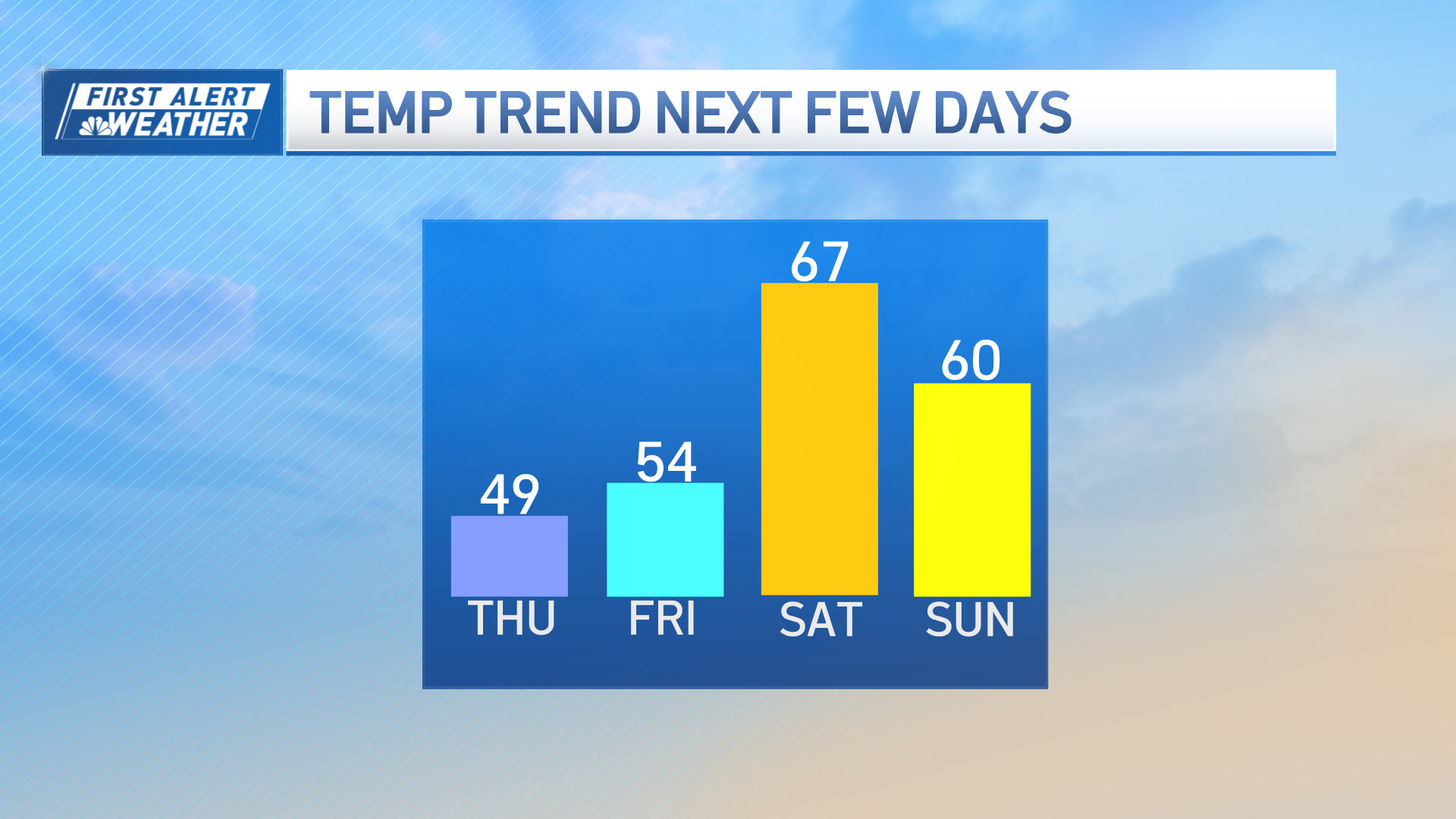
If the front does go through on Thursday morning, we may have some strong to potentially damaging wind gusts. Odds favor clearing and cooling heading into next weekend, as seen in our First Alert 10-day forecast.


