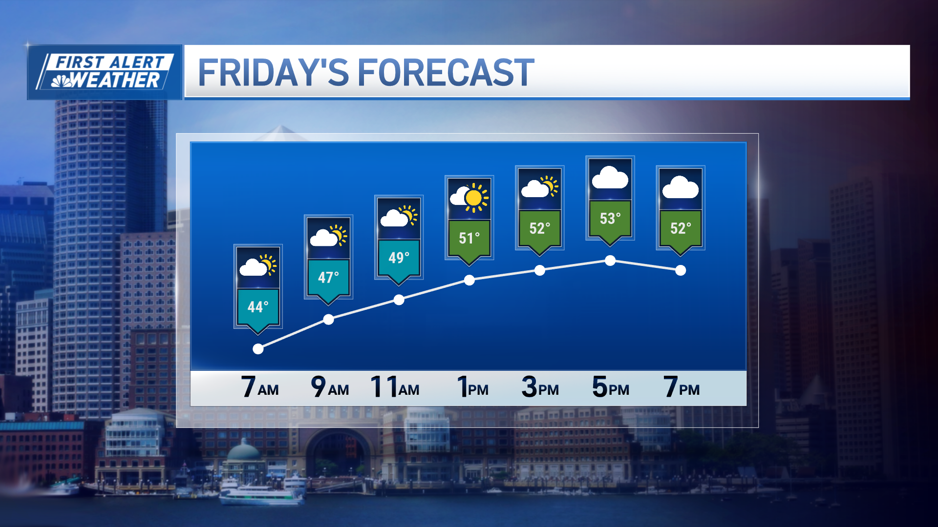
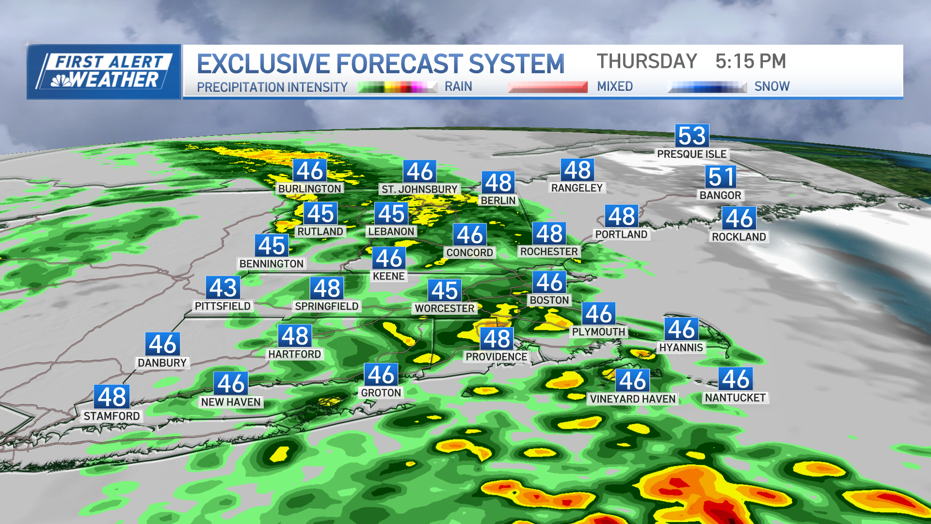
We have snow in the forecast on Friday.
The system bringing the snow has a fancy name, an Alberta Clipper. It's an old expression based on low pressure that forms over Alberta Canada and moves swiftly, like a clipper ship, in a generally straight motion from northwest to southeast to the Atlantic Ocean.
They are usually not strong events but can ramp up when they get close to the Atlantic Ocean and use the warmer water as fuel. We would classify today as a moderate strength clipper.
Snow racing across New York Friday morning will arrive in western New England before lunchtime and spread quickly to the east coast early in the afternoon.
It's a narrow band of snow along and north of Interstate 90 up to about a line from Rutland, Vermont to Portland, Maine. We may get a burst of moderately heavy snow for an hour or two. That’s sort of a high-end expectation, as most of us will see just a burst of snow that may be briefly heavy, but will linger as lighter snow for a couple of hours.
Either way, this should add up to an inch or two of accumulation on untreated colder surfaces, especially along in north of Route 2 in Massachusetts.
For the Hartford-Springfield area, the precipitation should shut down before the evening commute. But for Worcester to Manchester, New Hampshire to Boston, it may snow for most of the evening commute.
Weather Stories
Although we believe treated main roads and highways will be just wet, there will be significant spray with poor visibility, and possible icy side roads and sidewalks.
Temperatures Friday top out in the 30s, but fall back to freezing in the snow, except for at the south coast, where we may have a few raindrops and temperatures close to 43 degrees. Toward the Canadian border, we should stay dry with a high temperature in the 20s.
Skies will clear rapidly Friday night with the gusty winds from the northwest importing new colder air from Canada. Low temperatures will be in the 10s north and 20s south.
High pressure moves to the middle Atlantic states during the day Saturday, providing plenty of sunshine and diminishing wind during the afternoon. High temperature will be in the 20s north to 30s south.
Strong high pressure with a clear sky and light wind Saturday night means radiational cooling, low temperature likely the coldest of the season for many of us. It will be near 0 degrees central, colder north, and less cold toward the south coast.
Sunday features a cold, dry start with sunshine fading behind clouds. Wind will increase during the afternoon and become gusty by evening, with a high temperature in the 30s.
The Patriots game should be dry with a temperature near 37 degrees.
Powerful low-pressure then moves into Canada on Monday and Tuesday with the warmer southwest wind coming back to New England. Periods of rain could be heavy at times both days, with a high temperature in the 50s to near 60 degrees by Tuesday afternoon.
There even be a thunderstorm, then a major wind shift occurs Tuesday night and we are on the polar side of the front Wednesday and Thursday, with sunshine returning in a high temperature in the 20s and 30s.
The next action likely occurs next weekend and it could go from wintry mix to rain. We will have to do fine tune as we get closer here in our First Alert 10-Day Forecast.


