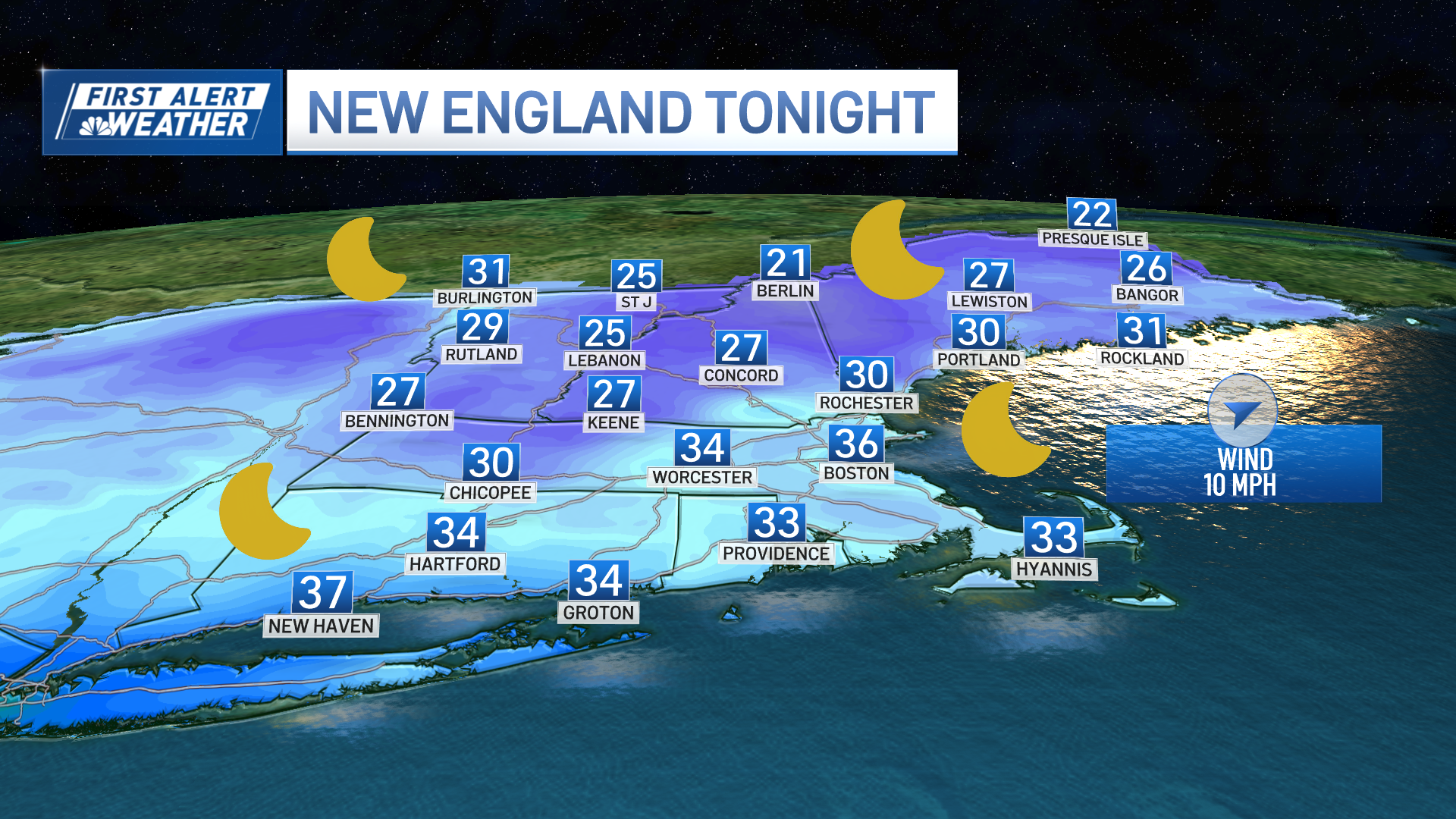
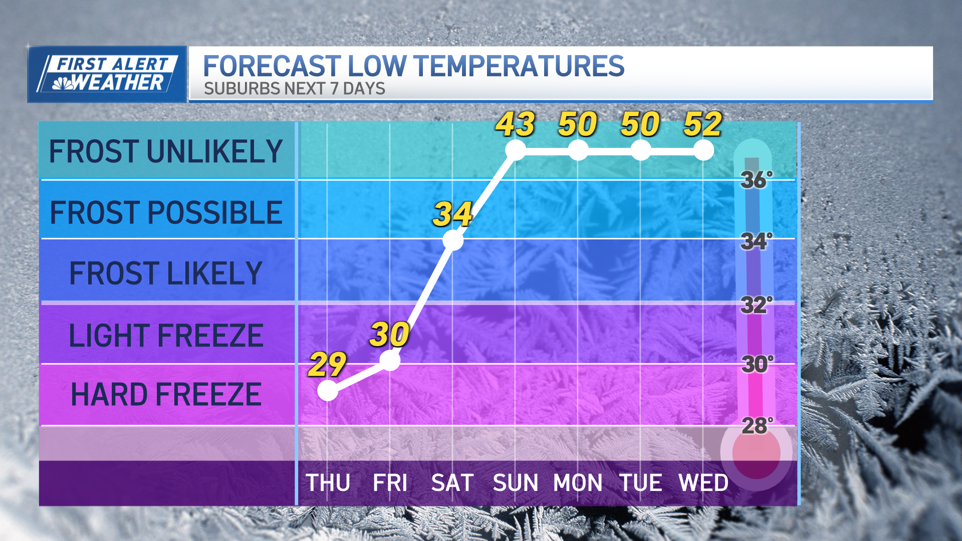
A chilly but bright Thursday will yield to a mainly clear night with less wind. Temperatures will plummet into the single digits north to around 20s degrees south, so we will have to watch for patchy black ice overnight and early Friday morning, especially where we are dealing with a snowmelt.
Friday will be another sunny day as high pressure takes control in New England, with highs in the 30s north to 40s south. By Friday night, clouds rapidly increase as a disturbance takes shape in the middle of the country and it brings snow and rain before sunrise into southwestern New England.
Snow will transition to rain in the Berkshires and areas of southern Vermont with the wintry mix advancing rapidly to the north and east arriving in western Maine by lunchtime Saturday. Any snow near the shore will change quickly to rain with temperatures jumping into the 40s.
Get New England news, weather forecasts and entertainment stories to your inbox. Sign up for NECN newsletters.
Once you get north of the Massachusetts Turnpike and west of the Merrimack River Valley, we may have a prolonged period of snow with a couple of inches in the higher elevations before changing to rain in the afternoon. For northern New England it is snowing early in the afternoon, but the snow/rain line probably advances close to the Canadian border by evening.
Sunday doesn’t look as bright or as warm -- highs will be in the 40s across southern New England but probably in the 30s north. An area of low pressure develops to our south and it gets here Sunday afternoon, with a chance for light rain while the mountains may get snow once again.
Another system may cross the region Monday with a few snow showers and rain.
Weather Stories
Behind this front, colder air returns Tuesday with highs in the 20s to low 30s under blustery conditions. March comes in like a lion with up and down temperatures as seen in our First Alert 10-Day forecast.


