At 84 degrees Tuesday, Boston had its warmest air so far this year. Wednesday is another great day, but only around 70 near Boston, thanks to a weak front and a wind shift last night and this morning.
The air mass is also much less humid, with dew points temperatures in the 30s and 40s, even some 20s in New Hampshire and Maine.
Away from local seabreezes we once again reach the 80s with plentiful sunshine Wednesday. One complaint though: we’ve been dealing with a very high pollen count and it will be the case until this weekend.
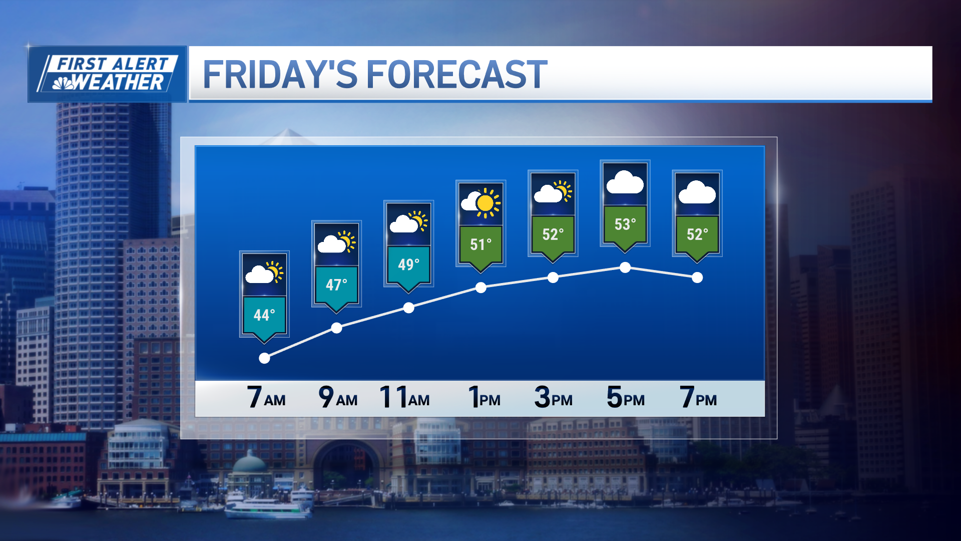
Thursday will see a chance for late-day, pop-up showers mostly in northern and western New England, and Friday looks to stay mainly rain-free in southern New England, with the best chance for showers across the mountains.
Get New England news, weather forecasts and entertainment stories to your inbox. Sign up for NECN newsletters.
Temperatures will change little, but humidity is going back up a tick each day. Nighttime lows in the 40s and 50s keep us in comfortable sleeping weather.
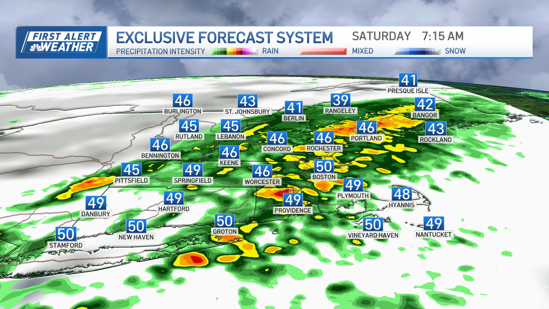
Conditions change on Saturday, as a strong disturbance moves over New England, raising the risk for showers and thunder with more clouds than sun -- timing and intensity is something we will continue to nail down this week.
Weather Stories
By Sunday, the front may stall, and it will increase the humidity, with a more scattered nature for showers and storms.
Both weekend days will feature rain, but we are not expecting a washout.
Sunday will mark the end to our summer preview because a backdoor cold front will sweep through Sunday night, and it is expected to bring cooler temperatures for Monday: highs mostly in the 60s with a few 70s inland with sunshine, as seen in our First Alert 10-Day Forecast.


