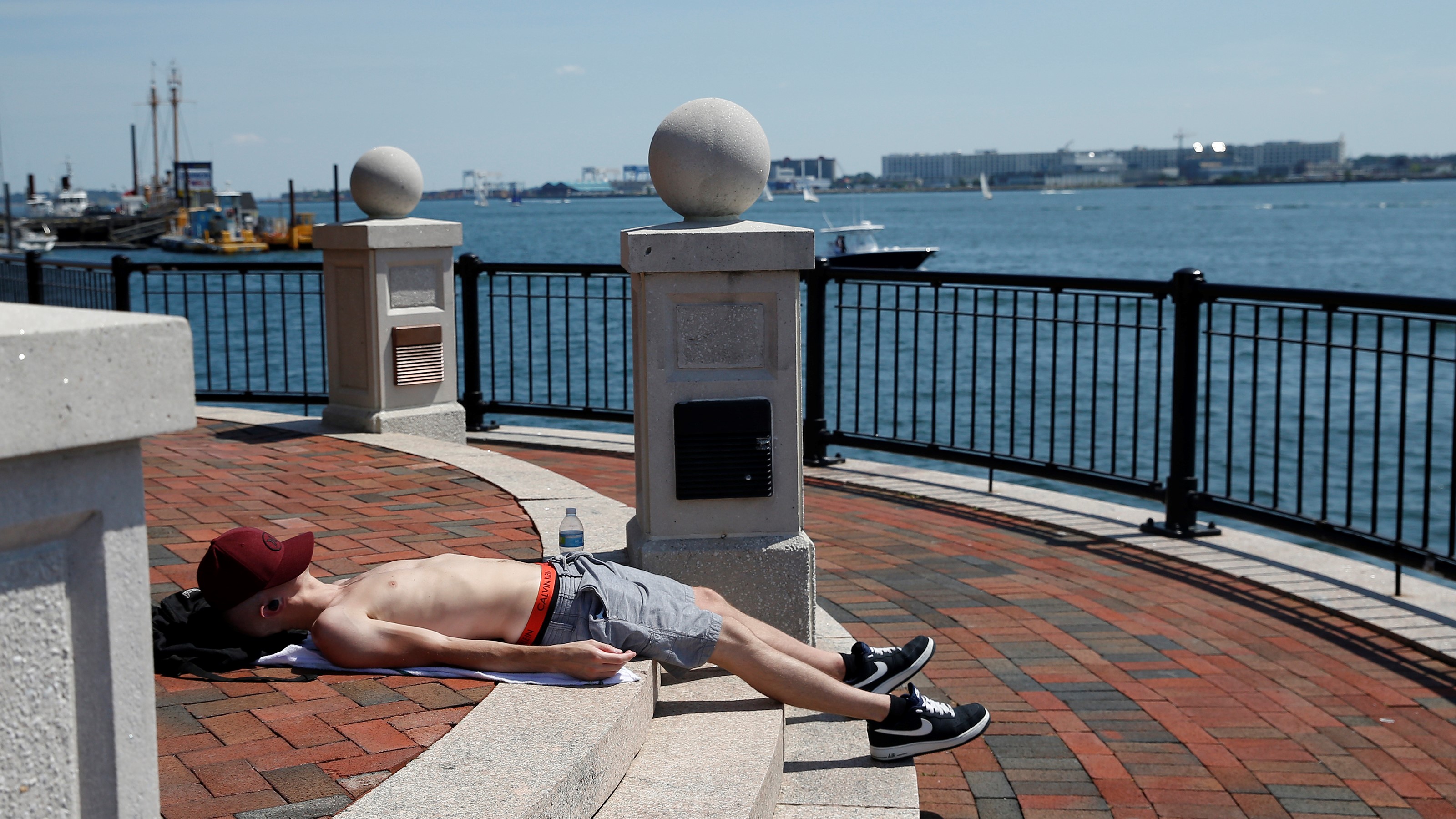
The heat continues through the weekend in New England, with Friday being our fourth day of this week’s heat wave.
A cold front that brought severe weather to the region Thursday is now offshore and drier air is filtering in behind it. This will allow for a brief break in the humidity.
Highs again rise well into the 90s this afternoon, upper 80s across the North Country. Western areas across the interior may have an isolated shower or thunderstorm this afternoon. Overnight, very low risk of a shower or thunderstorm, otherwise, expecting a dry night with partly cloudy skies.
Lows will drop down into the mid to upper 60s, low 70s in urban areas. Saturday will feature similar weather to Friday, except a few degrees hotter. Highs again rise well into the 90s, 80s north. Weekend heat peaks on Sunday with highs taking a run at 100 degrees, heat indices rise to 100 to 110 degrees.
Get New England news, weather forecasts and entertainment stories to your inbox. Sign up for NECN newsletters.
Excessive heat warnings may be issued by the National Weather Service as the heat and humidity reach dangerous levels. A cold front will approach New England from the Great Lakes Sunday night. There is some question as to how much precipitation will fall across the region ahead of and along the cold front.
Regardless, this cold front will bring a renewed shot of cooler and drier air and much-needed relief to the region into next week. We have hoisted a First Alert on Monday for the threat of damaging thunderstorms. As for temperatures, highs on Monday rise into the upper 80s to low 90s and Tuesday, rise into the low to mid 80s.
High pressure builds in from Canada by the middle of the week, leading to dry and seasonable weather before the chance of showers and thunderstorms comes back towards Thursday on the exclusive First Alert Weather 10-Day Forecast on NBC10 Boston and NECN.


