Steadily improving weather has arrived to New England with early flurries and clouds Thursday morning giving way to increasing sunshine as a fresh breeze makes high temperatures of 35-40 degrees feel more like 30 degrees on the level at the warmest time of the day.
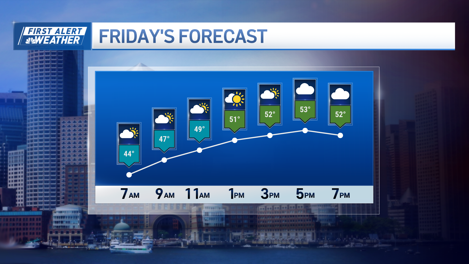
Nonetheless, a trend toward more sunshine will be a welcome change that delivers a clear and cold night Thursday night and plenty of sunshine Friday.
Ironically, the very same dry air that delivers Friday’s sun will be cool, Canadian air. It's not cold for this time of year, but cold enough, by nature, to hold temperatures Friday afternoon cooler than Thursday, even though the day brings more sunshine.
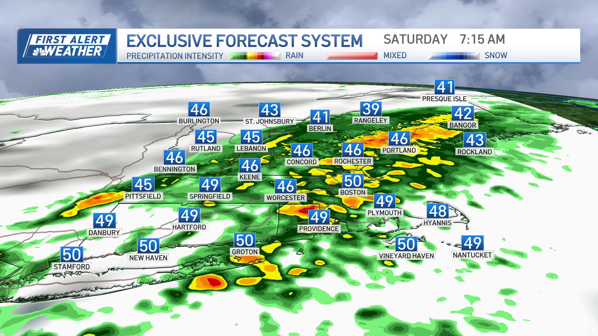
Our First Alert Weather Team has been watching a forecast storm south of New England, set to make its closest pass on Saturday, but we continue to think the storm will stay well south of New England.
One subtlety Saturday will be the expansive counter-clockwise flow of wind around the storm center, encouraging a northerly wind in New England. Wherever the wind flows across ocean water before making it to land – if it ends up a northeast wind, that would be much of Eastern Massachusetts, but a northerly wind mostly would blow onto Cape Cod – clouds will build Saturday and some flurries or snow showers are possible.
Regardless, by Sunday another shot of cool and dry air returns on a renewed northwest wind, returning sunshine and ensuring next week will start dry and cool, too.
The next nearby storm is another one forecast to track south of New England late Tuesday and early Wednesday, so our team will keep a close eye on the eventual track of that storm, acknowledging a track far enough north would put southern New England in a snow shield on the north side of the system.
Weather Stories
Yet another storm opportunity arises by late next week, though right now it appears to be more of an active frontal system. That's more likely to deliver building clouds and snow showers, rather than a coastal storm that tends to bring the heaviest precipitation amounts, but again – we’ll keep you posted in our exclusive First Alert 10-day forecast.


