Warm days and cool nights continue in New England's weather pattern for a couple more days.
We again will see temps in the 60s Monday evening as the full harvest moon rises (around 7:05 p.m.).
As you're snapping photos of the moon, watch for the International Space Station flyby at 7:31 pm. The space station is visible for 7 minutes and will travel slightly above the horizon from west southwest to northeast.
Get New England news, weather forecasts and entertainment stories to your inbox. Sign up for NECN newsletters.
Lows Monday night drop to the 50s again, with 40s up north under a mostly clear sky. Some patchy fog is possible after midnight as the breeze calms.
Tuesday will be another perfect September afternoon, and the last day of summer! Highs reach the mid 70s as more clouds head in from the west.
High pressure heads out to sea Wednesday, so more clouds head into the northeast and the humidity starts to rise. Highs again will be in the mid to upper 70s and late day showers could head into western New England.
Weather Stories
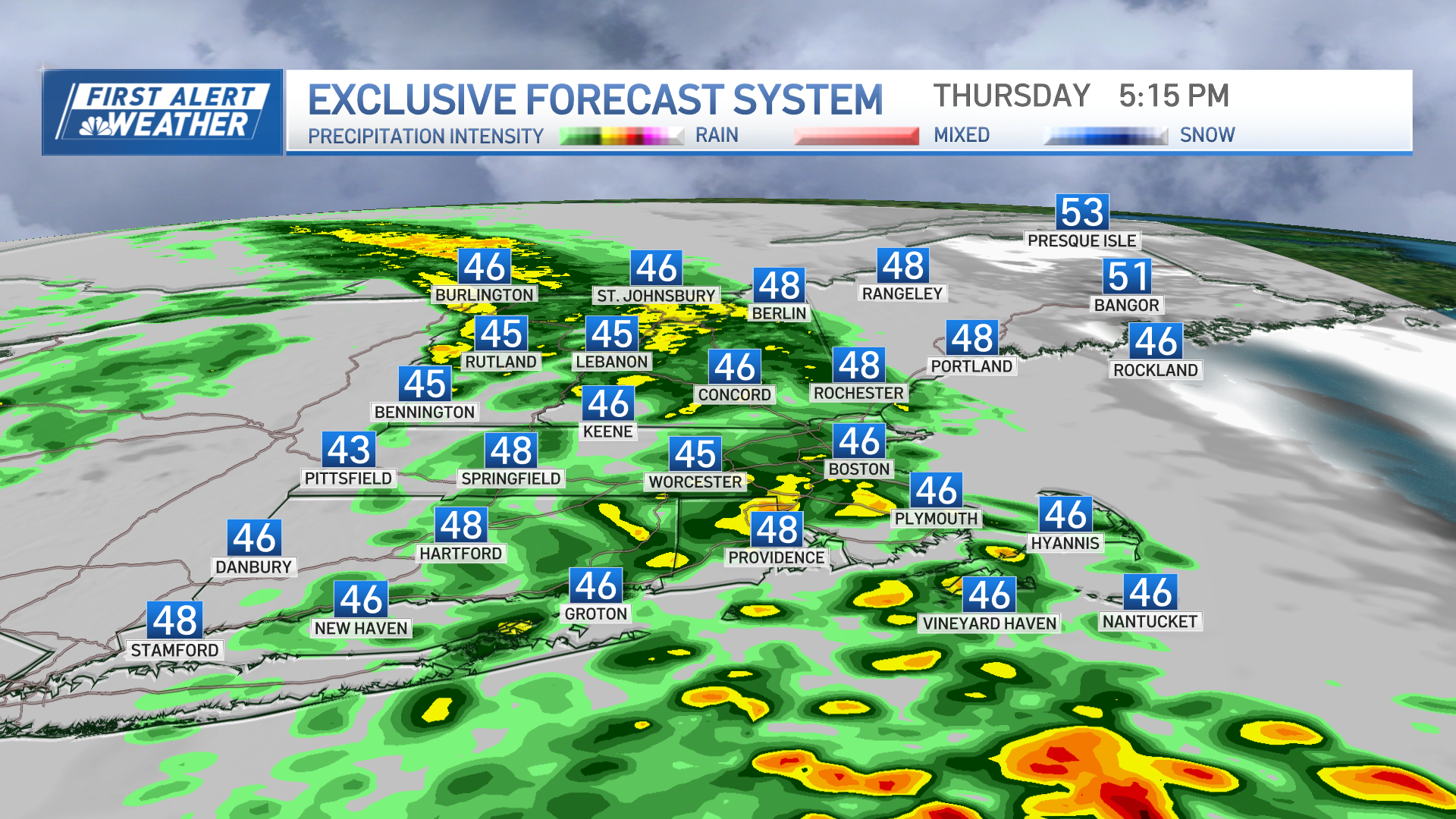
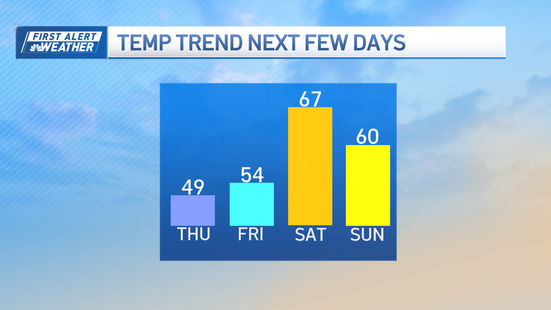
A slow-moving front brings us widespread showers for all Thursday into Friday.
This slow-moving system will move out in time for the first weekend of autumn. Saturday is partly cloudy with highs in the low 70s. The latest forecast models show a couple of upper-level lows trying to spin around the northeast. If these do make it into our area, this could bring in more clouds and repeated shower chances through the weekend.
Sunday brings another wave through into Monday. If this pattern holds, we will see showers again Tuesday into Wednesday with another wave. Stay tuned!


