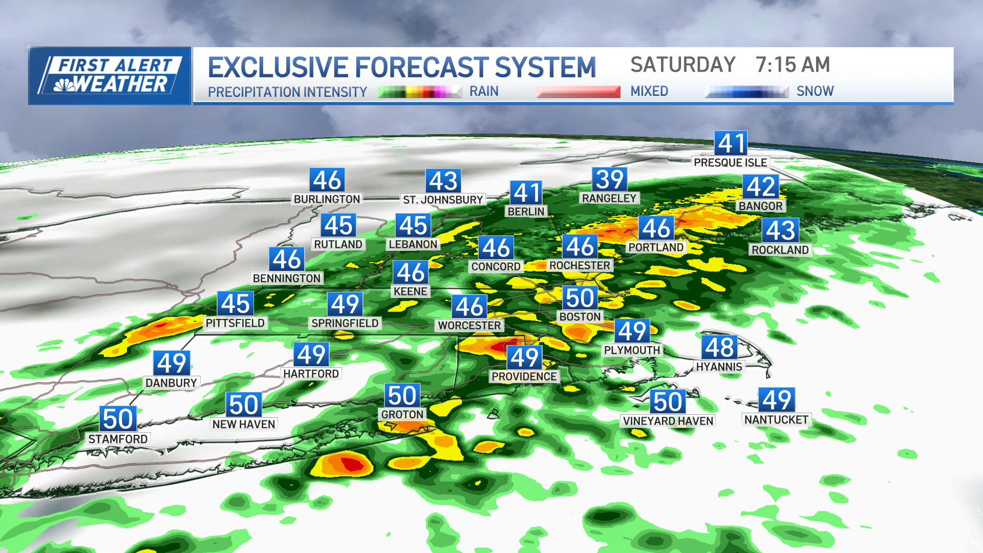
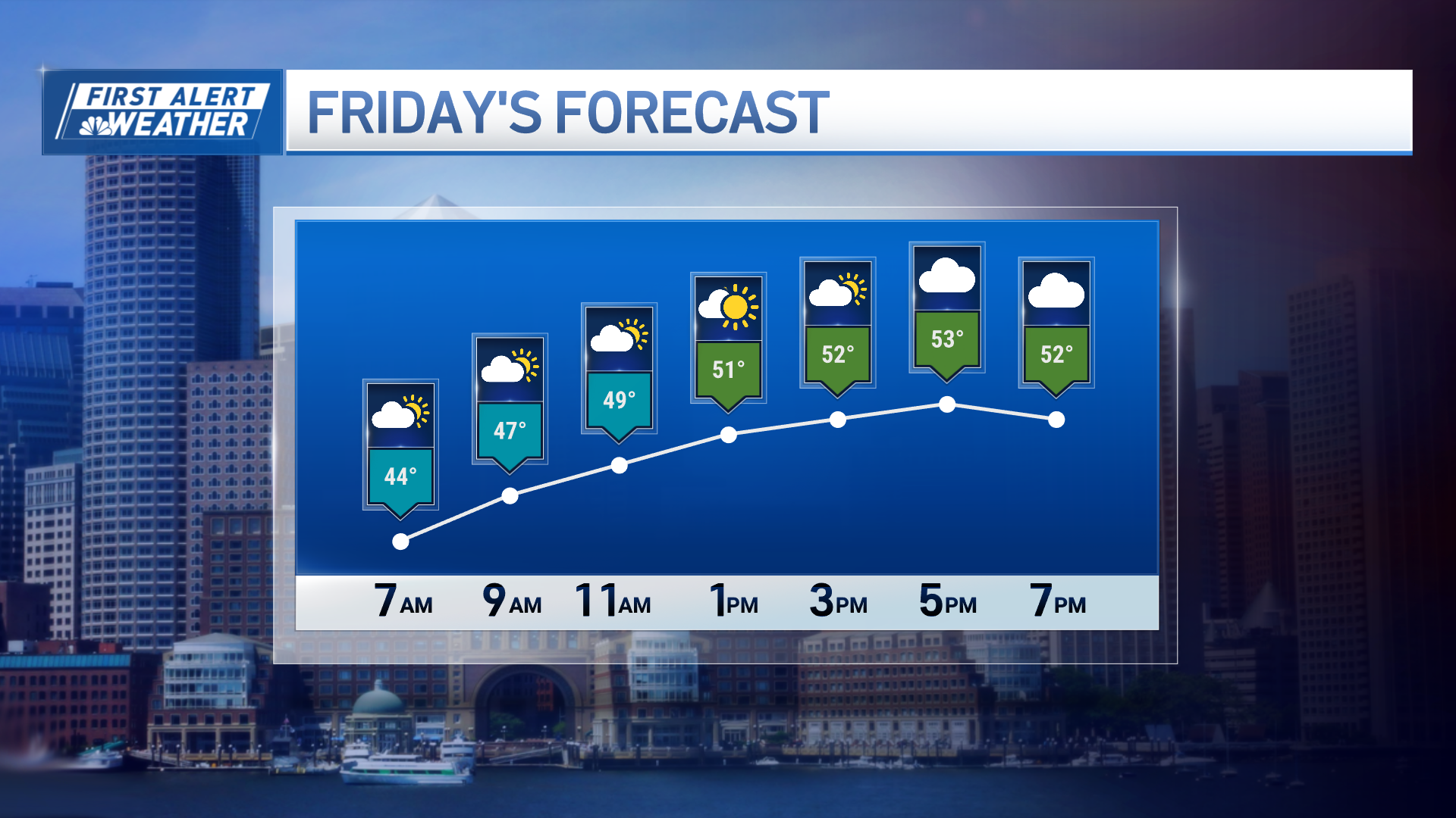
The coldest front of the winter so far is cruising from northwest to southeast across New England Friday evening and overnight.
With it, we are tracking scattered rain and snow showers moving from the mountains and hills to the coast, most remaining scattered in nature. But locally, poor visibility and slippery conditions are possible just about anywhere through evening and into eastern Maine through the late night.
A partial clearing reveals a big, bright moon, with lows in the teens north and 20s south.
Saturday will bring a blend of sun and clouds south and lots of clouds north, with some North Country flurries, but as mentioned, the cold and wind chill will be the story and means all New Englanders will need the cold weather gear for time outside. This Canadian air is dry air, so we aren’t expecting much snow aside from North Country flurries.
Sunday should deliver plenty of sun, though the wind and cold will persist, with summit gusts to 45 or 50 mph likely meaning some summit chairlift holds at ski areas Sunday morning.
Cool and dry weather persists into Monday, though the wind abates somewhat ahead of the next storm – it's developing over the Central United States and moving east. This storm mostly passes south of New England on Tuesday, but a separate disturbance moving overhead at the same time as the storm passes to our south may be able to pull some snow showers or light snow into parts of southern New England, so our First Alert Team will watch this carefully.
Weather Stories
Thereafter, we see relatively cold air – slightly colder than normal – lingering through the week, eventually easing by next weekend when another chance of rain or snow enters the forecast by next Sunday…something to watch but still very far out in time.


