It was another day of thunderstorms for the region, as powerful storms rolled through, leaving damage in their wake. One of the harder hit areas was in Wakefield, Massachusetts, where many residents were without power Sunday night.
There were dozens of calls for help in Wakefield after a fast-moving storm left widespread damage. Despite the damage, which included at least smoke conditions in one house from a possible nearby lightning strike, no one was hurt.
There was damage all around town, and tree crews could be seen suspended in the air Sunday night removing a large downed tree on a dead end street, section by section.
“It was the scariest thing I’ve ever seen, the wind was crazy,” said resident Kathy Barber.
One resident caught the intense winds in her own cell video. Shortly after, a large tree branch came crashing down into a pool.
Another neighbor caught intense flash flooding.
“It looked like we had some type of a downburst that ripped some big trees down, limbs,” another person said.
There was also a telephone pole tilted from the wind on Main Street, and wires were down in many places, leading to widespread power outages.
A number of severe thunderstorm warnings and flash flood warnings were in effect across Massachusetts, including for the Boston metro area where big-time storms moved through, bringing torrential rain, poor visibility and wind gusts up to 47 mph at the airport.
The storms on Sunday were lightning and high-wind threats, Meteorologist Chris Gloninger said, and they left many people without power as they produced damage across the region.
Weather Stories
Injuries were also reported earlier in the day in southern New Hampshire. Elsewhere in New England, there were severe thunderstorm warnings in effect for Vermont, Rhode Island and New Hampshire.
Click here to see any active weather alerts
Earlier weather story:
The weather map is a little more quiet this afternoon, than yesterday, but we still have an energized atmosphere and thunderstorms once again developing.
Today a little further to the north than yesterday. The air in southeastern Canada and in much of Maine is on the cooler side, while southern and western New England is hot this afternoon. There’s not much wind, it’s mostly from the southwest in southern New England, and light and variable north. But that creates convergence which feeds thunderstorms.
Most of the storms are occurring along in north of I-90 between 3 p.m. and 8 p.m. Showers and storms can contain damaging wind and hail. The threat diminishes greatly after the sun goes down.
We have a pretty moon getting closer to the planets Jupiter and Saturn off to their left. It’s less comfortable for sleeping tonight with more humidity, low temperature in the 70 degrees to the south and cooler to the north. And once again we will have patchy dense fog to wake up tomorrow morning.
Showers and storms can contain damaging wind and hail. The threat diminishes greatly after the sun goes down.
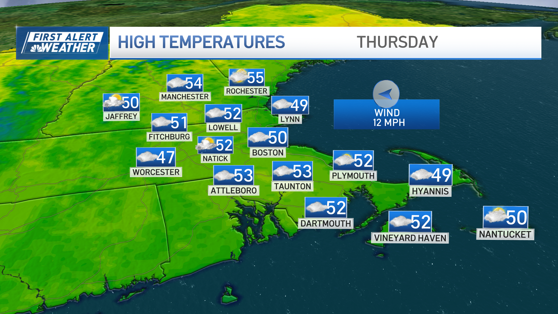
The weather map doesn’t change too much tomorrow, So the warmer air will the farther into New Hampshire and Maine, but thunderstorms may break out just about anywhere during the afternoon again with possible severe wind gusts past 55 and 60 miles per hour. Low pressure strengthens to our north on Tuesday, and that’ll be the most sticky day with a test threat for a squall line. That means a more likely threat for thunderstorms for more people, with another round of strong to severe storms at any point during the day.That low pressure system is going to slow down and strengthening significantly to our north Wednesday and Thursday with much cooler air, the feel of September coming back from mid week again.
That push of air from Canada may help deflect remnant moisture from the two tropical systems. It looks like we have two hurricanes making landfall in the Gulf of Mexico, first Marco near Louisiana tomorrow evening, and then Laura near the Texas Louisiana coast Wednesday. Some of that moisture could come up and get southern New England hopefully before the weekend. Right now we’re optimistic for a comfortable last weekend of August as seen in our first alert 10 day forecast.


