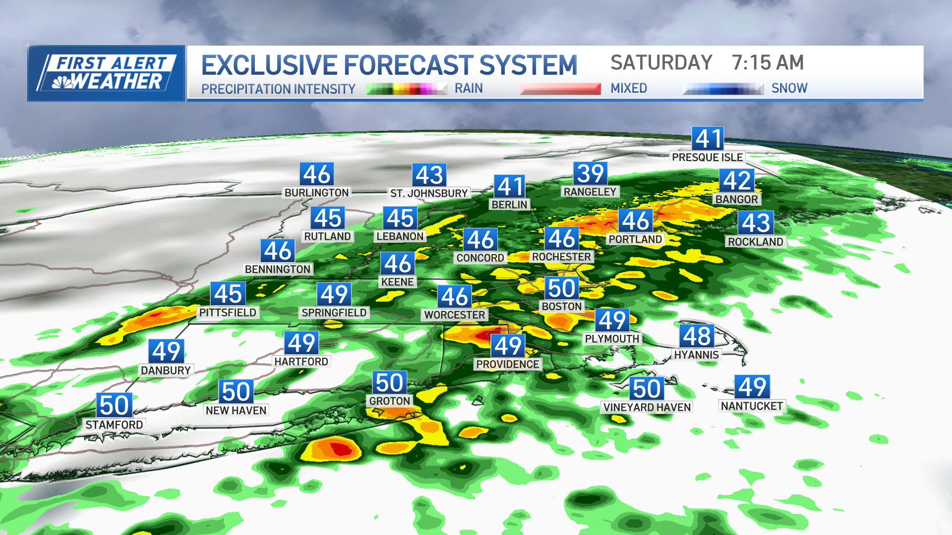
Sticky weather overnight and Saturday morning include thunderstorms and patchy dense fog.
Fed by the humidity, these storms may actually take the unusual trend of continuing to expand and strengthen a bit even after sunset, eventually settling onto Cape Cod as rain that will last into early Saturday morning on Cape, while the rest of New England finds partial clearing particularly after midnight and some areas of fog.
Saturday likely sees sunshine burning through the fog patches for another sticky and warm day but change will be on the map in New England and moving south in the form of a well defined cold front that marks a wind shift and the start of new air.
Along with the wind shift – the front edge to the new air – we'll see some showers in the far North Country of New England Saturday morning, sinking south through northern New England during the morning and reaching the Maine coast by 2 p.m.
Southern New England sees showers and embedded thunder with about 50% coverage moving from Manchester, New Hampshire, around noon to Cape Cod by 4 p.m. or so.
Behind the cold front, a new, northerly wind will send the dewpoint temperature (the measure of the amount of moisture in the air) tumbling and comfortable air will take over on a steady breeze Saturday evening for a comfortable night of sleep Saturday night.
Weather Stories
The new air will be dry by nature, affording Sunday sunshine mixed with puffy, fair-weather cumulus clouds – a few of which may build just tall enough to drop a few isolated sprinkles Sunday afternoon, but nothing too impressive is expected.
The comfortable air lingers through the start of next week, eventually giving way to returning warmth and humidity by week's end with a building chance of showers and thunder toward the end of our exclusive First Alert 10-day forecast.


