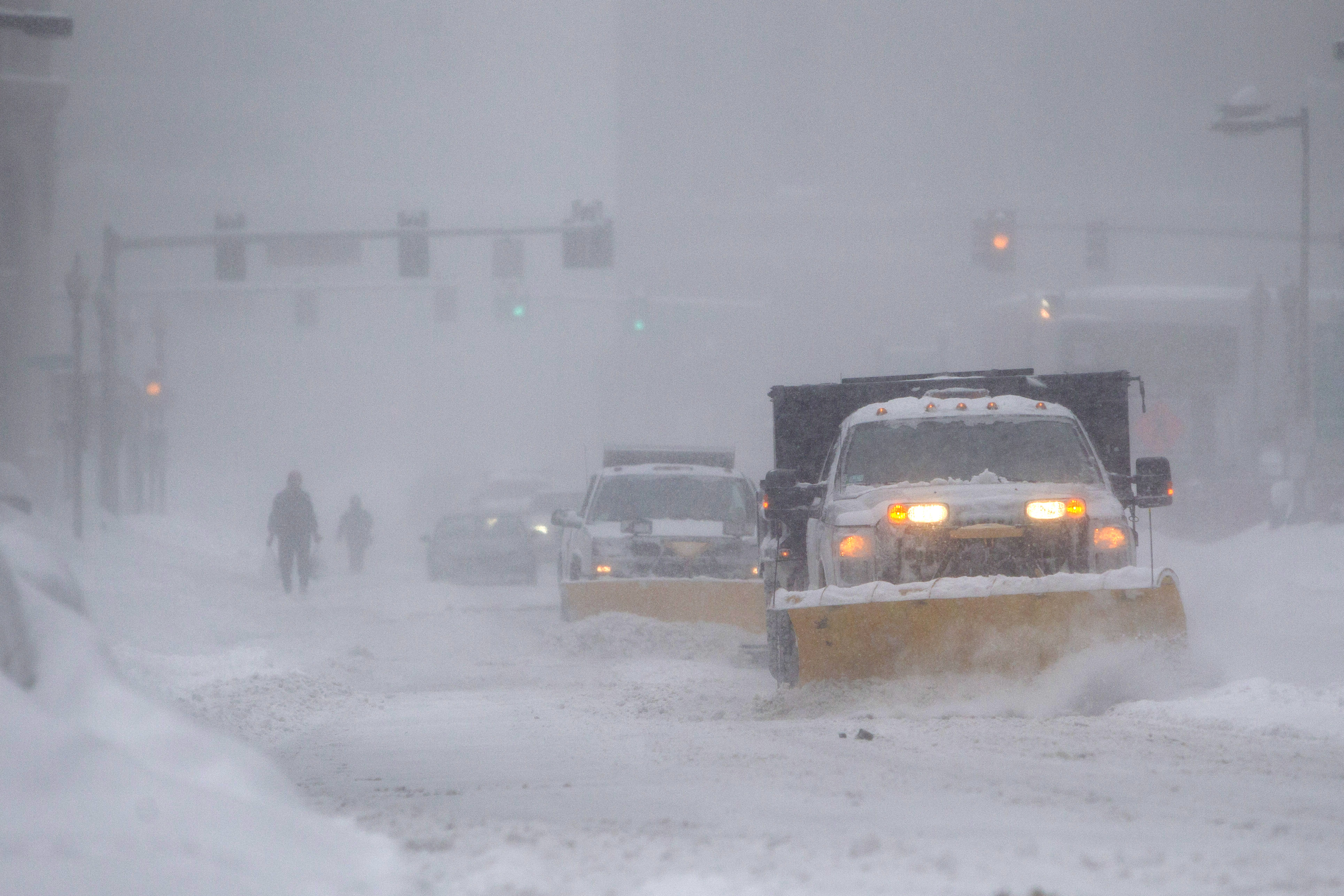
Snow will keep going through late morning and early afternoon. The most intense snow will continue through 8 a.m. or 9 a.m.
Snowfall rates may reach two to four inches per hour, which will be difficult for plows to keep up with. If working from home is an option, I’d highly recommend it.
The strongest wind starts over the next few hours and continue through the morning. Wind gusts over 40 mph will be widespread by 7:15 a.m., continuing at its strongest through about 9 a.m. Power outages are everywhere, but most likely in southeastern Massachusetts later this morning.
The snow will taper off gradually by lunch. With an onshore wind, snow will continue into the afternoon in southeast Massachusetts. As the snow wraps up, many will end up with a foot or more of accumulation.
Temperatures will drop from the 30s into the 10s during the afternoon and evening. A flash freeze is possible.
The next couple of days will be cold. Temperatures will struggle to get above freezing. As we head into the weekend, temperatures will begin to moderate Sunday.
A weak system will move through Sunday night into Monday morning – a wintry mix to rain is possible.
Temperatures continue to moderate as we get closer to Christmas Eve and Christmas Day. Officially, we need one inch of snow on the ground for it to be considered a White Christmas. The warm up might limit those chances.