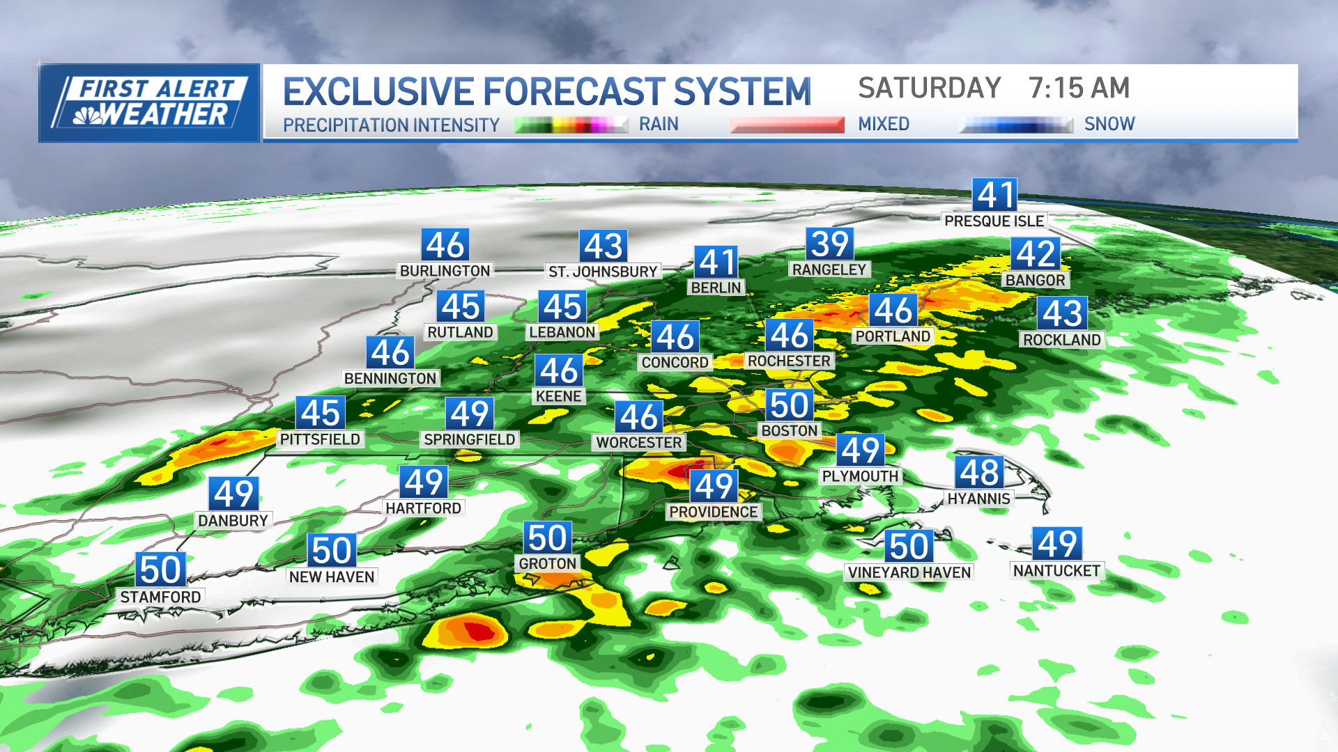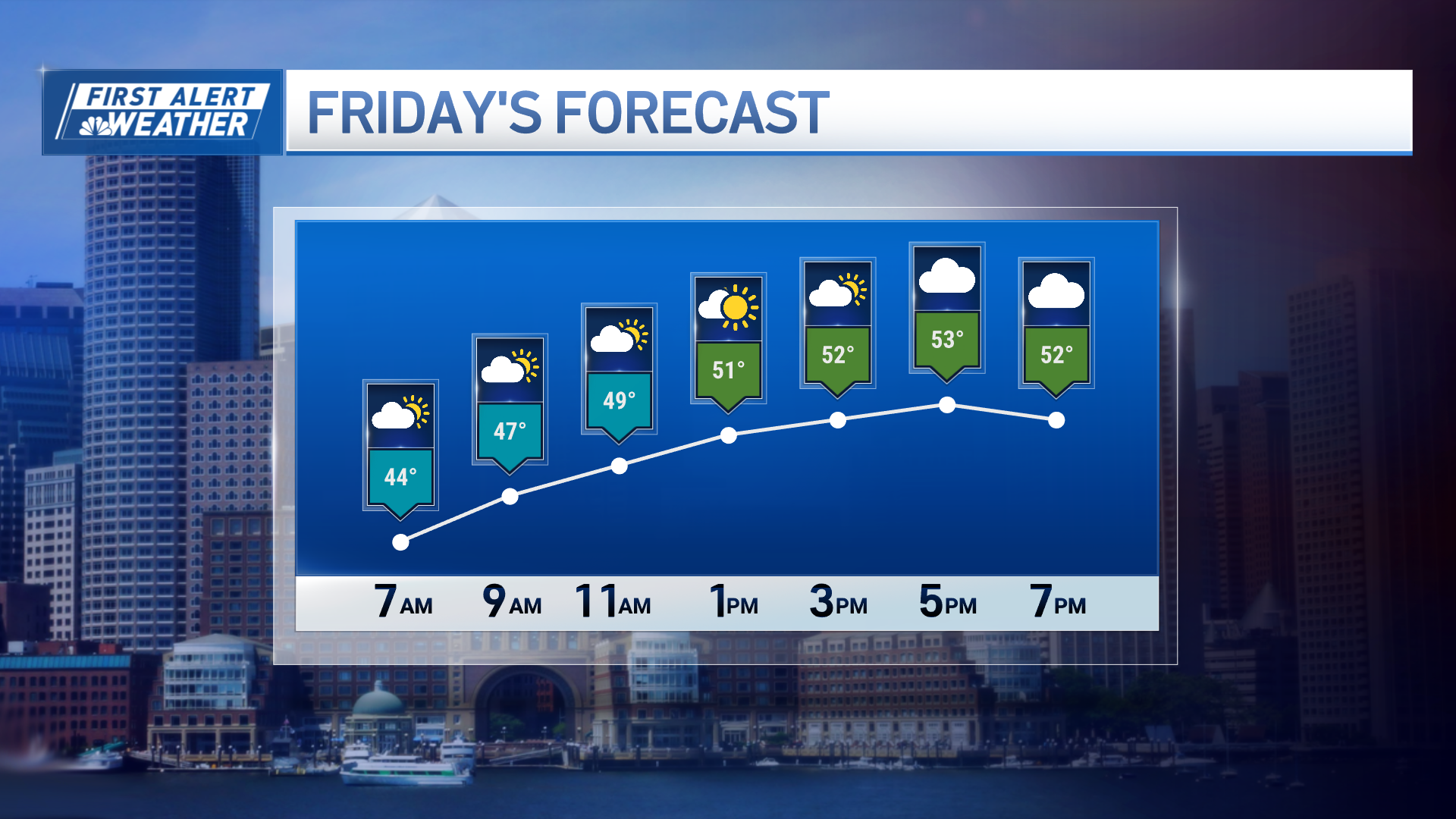
Cold high pressure moving into the Gulf of Maine Friday night allows a warm front to move in with snow, sleet, and rain overnight. An early evening wintry mix is west of the Connecticut River, advancing rapidly northeast by midnight.
Expect poor travel conditions from Springfield to Chelmsford, Massachusetts, northward into all of Vermont, New Hampshire and Western Maine by 10 p.m. From Hartford to Boston and points south, we have cold rain Friday night. Rainfall amounts of .3 inches are likely, as are snowfall amounts from two to four inches in the mountains by dawn.
Lows Friday night are in the 20s north and the 30s south.


Saturday is cold and wet. There will be rain and fog most of the day south, and rain mixed with snow and fog north. High temperatures in the 30s north and 40s south are expected. There may be a brief let up with just drizzle and fog during the afternoon, before more rain arrives Saturday night.

Rain will be heavy at times in southern New England Saturday night, mixing with snow before ending by sunrise Sunday. With clearing skies north, Sunday morning lows will be in the teens. For southern New England, the warmest part of Sunday is sunrise, with temperatures in the 30s and icy spots left from freezing puddles. Sunday will turn out partly sunny, windy and cold, with temperatures falling into the teens north and 20s south by sunset and wind from the north 15-30 mph.
Weather Stories
Monday looks cold and dry with a high near freezing.
The early outlook for Tuesday is a powerful nor'easter with heavy rain and wind at the shore and heavy snow in the mountains.
Wednesday and Thursday look windy and cold with snow showers likely.


