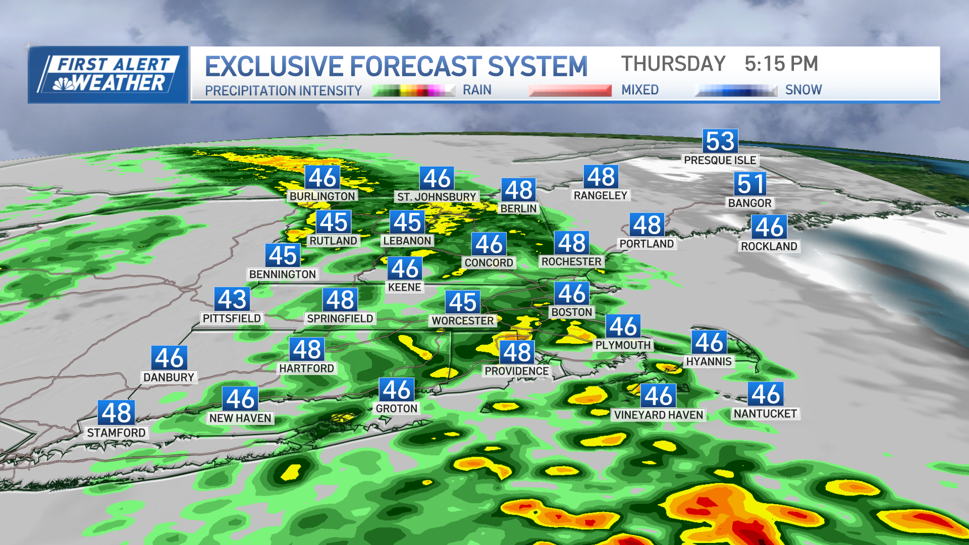
Welcome October! Here we are in the first weekend in what can be known as one of the best months of the year for weather in New England with mild days, and crisp cool evenings. It has been a changeable, cool unsettled week with a low stalled off the coast and an upper low slowly drifting above our heads. A blocking pattern in the overall Jetstream is to blame for the recent inclement weather, just as it was to blame for the summer surge of air last weekend with sunshine and temps near 90! The good news is things are finally starting to move along, but there is still plenty of weather to watch!
[[278054381, L]]
The Northeast Satellite and Radar image clearly shows the low well off the New England coast today. Still, it was wrapping in low ocean clouds for eastern MA and rough seas up to 5-9 feet on Friday. These low clouds will continue to expand westward and penetrate farther into New England Friday Night. Areas of drizzle and mist may begin to form with saturated clouds and light onshore winds, especially at the coast.
[[278054611, R]]
By Saturday morning, A steady deck of clouds will be in place all over New England with still, scattered light showers and areas of drizzle possible. The morning on Saturday will likely be better than the afternoon. Showers will begin to spread from west to east during the mid-late afternoon hours which may come with some heavy downpours and even an embedded T'storm. A widespread 1/4-3/4 of a an inch of rain should fall from these showers, but a few areas in the north may exceed and inch of rain.
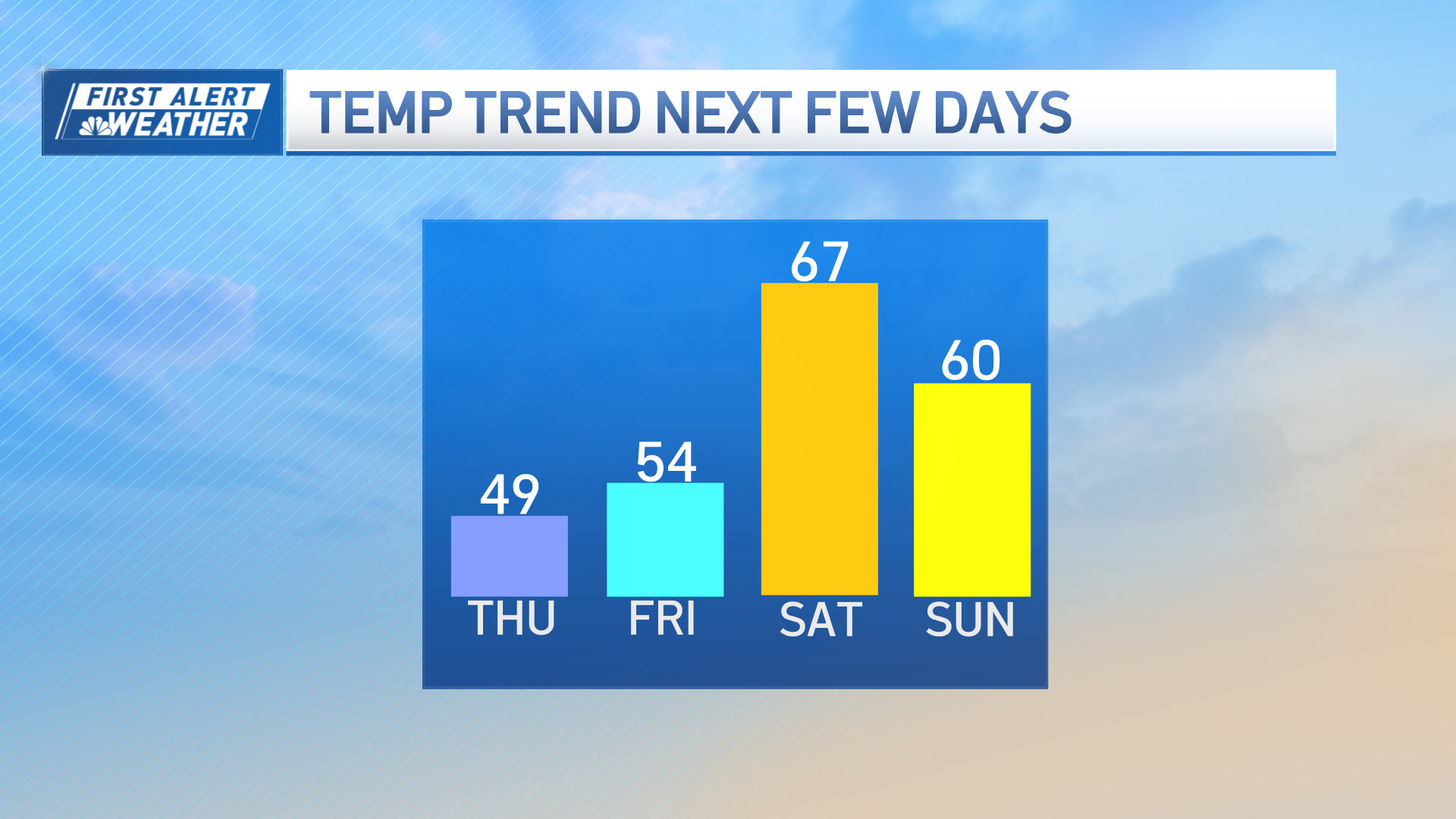
Once the front pushes off the coast, dry cooler westerly breezes will follow in Sunday with clearing skies and temps only in the 50's and Lwr 60's. Slightly below average for this time of year.
By Sunday night, skies will be clear, and filled with a bright light form the moon. Temps will continue to drop off with cold air advection behind the cold front. By kickoff at Foxboro at 8:30 PM, temps will be dropping into the Lwr 50's.
Weather Stories
Lows on Sunday night will be dropping into the 30 to near 40 for many spots by dawn on Monday.
It is a great weekend for the leaf peepers with Sunday being the most picturesque day of the weekend. Peak color currently is in the Green Mountains of Vermont, White Mountains of New Hampshire. The Berkshires, The Monadnock Region are nearing peak as well. You will not have to go far this weekend as the color is coming on fast this year thanks to the cooler than normal temps during the mid-late September.
Here is a great shot from Loon Mountain in New Hampshire.
As we have been mentioning on NECN, parts of Southern New England have been 4-6" of rainfall below the average for August-September. The Latest Drought Monitor was issued yesterday [[278064901, R]] and shows expanding dry, and even drought conditions across New England. Unfortunately, it does not factor in the rain that fell this week, so we will have to see how the rain has impacted the moderate drought.
The Climate Prediction Center has issued their forecast for October and they are predicting warmer than average temperatures for the eastern US, including New England. I am not quite sure if I buy into this forecast and I am seeing a pattern of persistent troughs in the Northeast which would keep the warmth away....at least through the middle of the month. [[278065011, R]]
Maybe another round of late season warmth to end the month? We will have to wait and see on that. For now, we have one front for the weekend, and another for the middle of next week. This will come with another chance of showers Tuesday into Wednesday and another round of cooler air to follow. [[278065371, L]]


