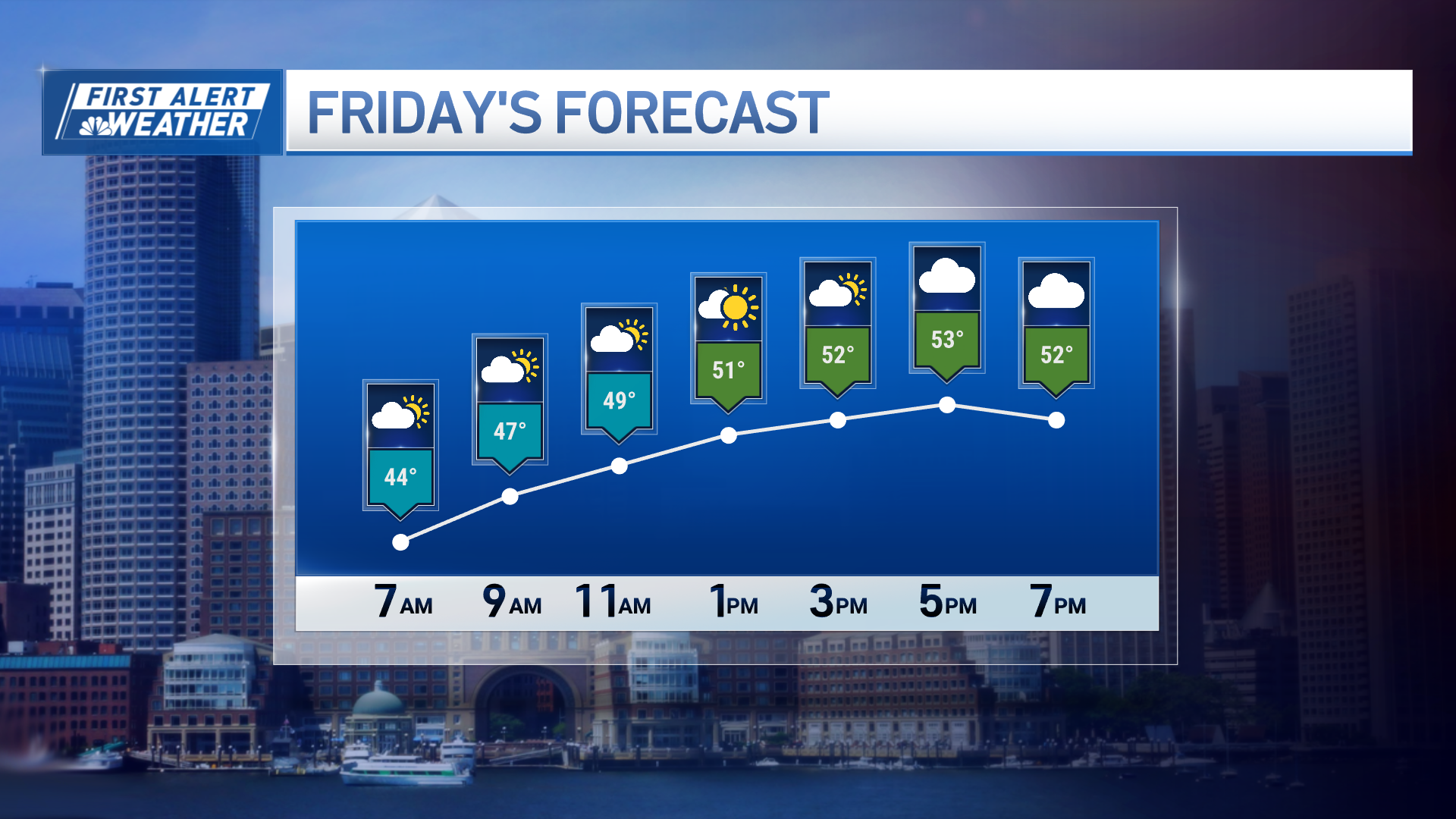
Much to the delight of skiers and snowmobilers, it looks like my recent November monthly forecast for colder-than-normal conditions with more precipitation than normal will at least start strong, even if the remainder of the month is yet to be determined, with accumulating snow in the forecast for Friday in the North Country of New England.
The players are already on the map, from a cold front crossing New England, to a low pressure system (storm) organizing with moisture from Texas to Tennessee:
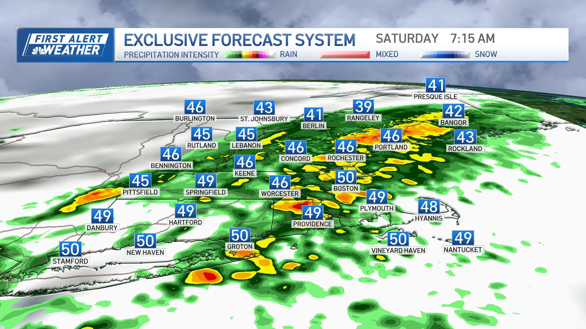
The organizing storm will accelerate northeast Thursday, bringing developing rain to all of New England, getting heavier by late day and evening from south to north, respectively. With cold air lurking just across the border in Canada, it won't take long to change rain to snow in Northern New England - in fact, here's the forecast radar map by 4 AM Friday (from the NAM computer guidance):
The combination of a northwest wind (pushing up against the mountain faces, developing what's known as "upslope flow" that can enhance precipitation rates), high ambient relative humidity (moist air), and ample energy aloft, will all contribute to snow in the Northern mountains, with the likelihood that at least some of that snow falls heavily at times from predawn Friday through Friday midday. The farther south one is in New England, the less likely snow is to fall (save for a lingering shower of rain or snow in the morning, or recurring afternoon flurry from building puffy, cumulus clouds), with blustery but mostly dry conditions expected, as moisture pulls north. Nonetheless, here were the early thoughts I aired on NECN Wednesday morning:
How about something more specific? Remember that the reason I didn't offer something more specific on-air is because it's still too early to speak with the level of confidence you've come to expect. That said, my thoughts at this point are that we will have enough moisture, and a long enough period of snow, to warrant greater than six inches of accumulation, particularly from Rangeley, Maine, northeast to Aroostook County. Perhaps the most volatile area with regard to the forecast is Northern Vermont...not only because you're on the western periphery of the moisture, but, moreover, because there will probably be a complex interaction of upsloping and downsloping wind in this setup, which may leave the Champlain Valley nearly missed, while the mountains see much more snow. At this early juncture, this snowfall estimate from the NAM computer guidance is probably the one that closest fits what I'm thinking at this point, though I'm expecting to see more in the Northeast Kingdom of Vermont, and less in Southern Vermont, than what's indicated here (basically, shift that maximum in Southern Vermont into the Northeast Kingdom):
I'll keep you posted on-air on NECN, and online.
Weather Stories
Matt


