It's been a dry October in New England, but that’s about to change.
In the city of Boston for the month so far, we are 2.53 inches of rain below average. As a matter fact, half of New England is either abnormally dry or in a moderate drought.
[CLICK HERE FOR THE LATEST WEATHER ALERTS]
On Wednesday , however, moisture from the remnants of Hurricane Patricia will be pulled north by a developing system over the Upper Midwest, bringing between 1 to 1.5 inches of rain to our area with localized higher amounts.
Rain is expected to hit western Massachusetts around noon, and should impact the Boston area around 4 p.m., just in time for the afternoon commute. On and off rain will continue during the overnight hours and into the morning on Thursday.
Strong winds could result in some downed limbs and power outages.
[CLICK HERE FOR INTERACTIVE MAPS AND RADAR]
Weather Stories
Minor poor drainage and urban flooding is possible, however given the recent dry weather main stem rivers should remain within their banks. We also must remember that in the Fall, the leaves fall and clogged storm drains could also contribute to flooded roadways.
Some minor coastal flooding and splashover could be seen at high tide around noon in some areas of Boston and Hampton Beach. Overnight, the worst of the coastal flooding will be in Maine.
By Thursday afternoon drier, milder air moves in. Highs will soar into the upper 60s for one day only.
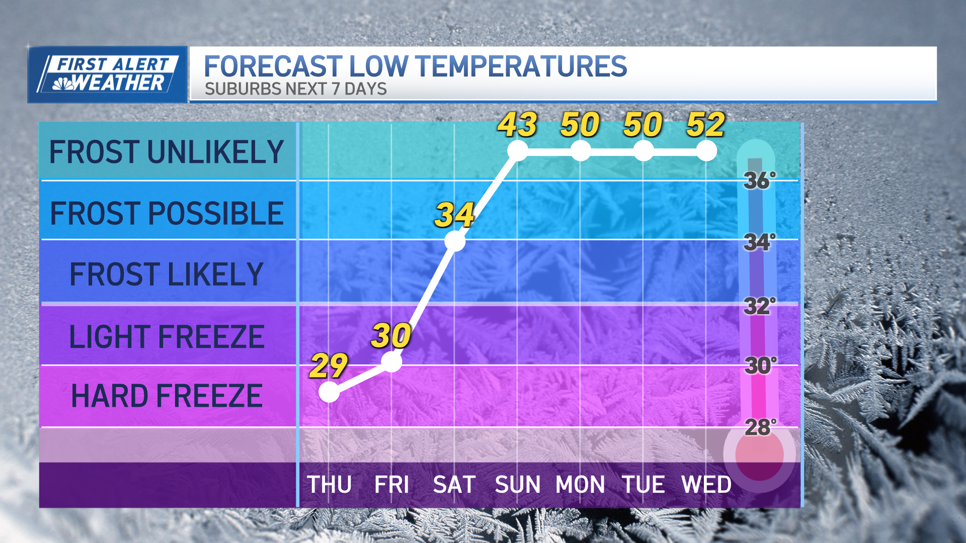
By Friday, cool air trickles back in and trick-or-treaters headed out on Friday or Saturday night will need to keep their winter coats handy.


