This is one very busy weekend of weather and natural phenomenon for New England!
Friday brought record warmth to most of the region, with at least a dozen record high temperatures falling, and some Maine records were absolutely obliterated! The following are new records set Friday, along with the old records in parentheses.
- 76 - Bridgeport, CT (68, 1999)
- 75 - New Haven, CT (68, 1989)
- 74 - New London, CT (67, 1999)
- 73 - Providence, RI (71, 1999)
- 71 - Windsor Locks, CT (70, 1999)
- 70 - Boston, MA (ties 70, 1999)
- 69 - Nashua, NH (65, 1966)
- 69 - Blue Hill Observatory, Milton, MA (68, 1999)
- 68 - Portland, ME (65, 1945)
- 67 - Concord, NH (64, 1966)
- 66 - Lewiston, ME (60, 1945)
- 65 - Bangor, ME (52, 1990)
- 65 - Fryeburg, ME (ties 65, 1990)
- 64 - Augusta, ME (51, 1996)
- 64 - Rockland, ME (54, 1990)
- 61 - Bennington, VT (60, 1990)
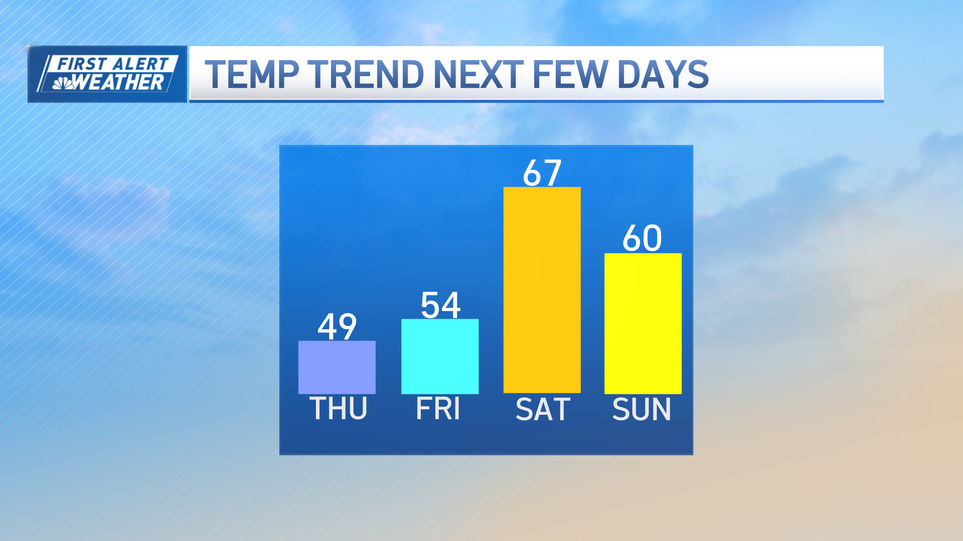
A sharp cold front moved through New England Friday night, bringing a new, seasonable air that will send high temperatures into the 40s for many, 30s north, both Saturday and Sunday. By no means is this new air the end of interesting natural phenomena in New England this weekend!
Saturday night, the full "Supermoon" will rise around 7:20 PM. The term Supermoon has been coined for this full moon because it is the first time since March 1993 that the full moon phase coincides with the perigee of the moon's orbit - the moon's closest pass to earth along its eliptical orbit. As contrasted to its farthest pass, called apogee, the moon will appear 14% bigger and 30% brighter Saturday night! Though numerous statistical analyses have shown no direct correlation to natural disasters in the atmosphere or the earth (like the recent Japan earthquake), there is some tidal response in the world's oceans, but only about an inch of sea level elevation, on average, with as much as a six inch response in locally enhanced areas.
Sunday at 7:21 PM, we officially ring in Spring, with the Vernal Equinox. This comes as the sun crosses directly over the celestial equator, rising due east and setting due west.
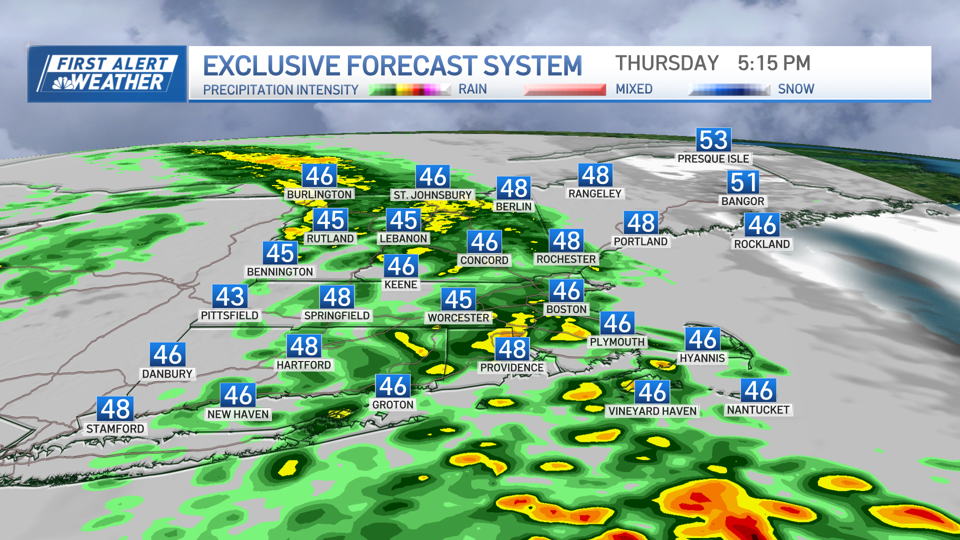
Though Spring may officially jump in gear next week, the weather pattern actually takes a step back to winter for the bulk of the week. Monday, a moisture loaded system moving in from the west will bring rain that may change to snow, particularly in Central and Northern New England, with some accumulation. Monday won't be the last opportunity for wintry weather next week, as another storm will move south of New England Wednesday into Thursday, and may spread the northern edge of its precipitation shield into New England, depending upon how close the storm tracks. With cold air available, any precipitation very well may be snow, but this time of the year things always get a bit tricky, as the sun angle is strong enough to make daytime accumulating snow very difficult.
Weather Stories
There's unquestionably plenty to watch in the coming week!
Enjoy your weekend, and Happy Spring.
Matt


