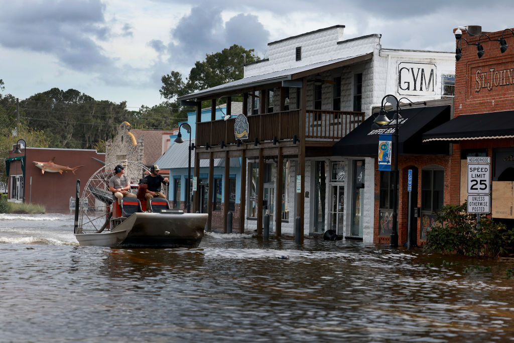
Heavy rain, storms, fog and rough seas impact us locally. Meanwhile, Idalia made landfall Wednesday morning, producing heavy rain, storm surge and powerful winds that keep the southeast under the risk of additional damage.
Our storms and downpours will end by the mid to late afternoon, allowing drier air to fill in Wednesday night and helping us enjoy a beautiful sunset.

The drier air will help us cool down to the 50s inland, and dew points in the 40s will take over Thursday as our highs stay in the 70s with plenty of sunshine.
Get New England news, weather forecasts and entertainment stories to your inbox. Sign up for NECN newsletters.

The rays will last for days as our holiday weekend keeps the good times rolling with beautiful sunny skies and “quiet” conditions through then.
Tracking Franklin and Idalia, local impacts
Both Franklin and Idalia became major category cyclones that have been powerful enough to exceed winds of 130 mph.
Idalia weakened to a Category 3 system just before making landfall in the Big Bend Region on Keaton Beach, Florida. Storm surge and winds up to 125 mph battered the coast. The track remains to head out into the Carolinas, producing heavy rain that may go up as high as 8 inches in isolated areas.
Franklin keeps its track up to the northern Atlantic, churning our seas and pushing in the swell to our coast. Small craft advisories and high surf advisories will remain in effect into Thursday morning with waves of up to 10 feet possible.


