
It's generally not a great sign for weather in the days ahead when the meteorologist explains how a storm to the west can't move in until a storm impacting us to the east moves out!
That's our setup in the coming days: Tuesday's gloom and chill comes courtesy of a large, slow-moving storm over the western Atlantic, with an extensive, counter-clockwise flow of air that's carrying ocean moisture to the coast on a northeast wind.
As showers expand through midday in eastern New England, cold enough air lingers in the valleys of northern New England for some spots of light icing, while the coastline including Portland, where light freezing rain started the day, warms above the melting point.
It's quite possible pockets of light valley freezing rain linger through the overnight, requiring occasional road treatment, in the valleys of the north, while southern and central New England rain showers and drizzle will mix with pockets of fog at times into Wednesday morning.
Get New England news, weather forecasts and entertainment stories to your inbox. Sign up for NECN newsletters.
In southern New England, showers may bookend Wednesday, with one disturbance moving overhead in the morning and another late in the day.
With a midday break, the atmosphere will have a chance to warm somewhat, even under clouds, and temperatures should be able to break 50 degrees for some of the interior, though that's less likely at the coast where some ocean component will linger in the wind, and in northern New England where the light wind and showers will limit the advance of any milder air.
As the ocean storm moves away from the East Coast later this week, that opens the door for a large storm that's been causing snow and severe thunderstorms to our west to move in, leading to showers that fill in as rain Wednesday night into Thursday, with heavy rain at times in eastern New England Thursday.
Weather Stories

Although it's still possible northwest New England – particularly central and northern Vermont – avoids much of this rain, most of New England's cities will find impacted commuting, so our team has hoisted a First Alert.
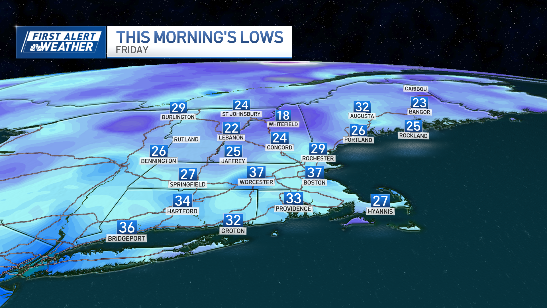
Rain is expected to continue into Friday morning in eastern New England before ending from west to east (perhaps as brief snowflakes for some, especially north) with sluggish drying Friday afternoon, then clearing Friday night that delivers a fair and pleasant Holy Saturday.
Easter Sunday also looks good, though one quick jet stream level disturbance appears to be centered around the early morning, so at some point a quick shower is possible, but because it's fast-moving, most hours will be dry and fine.
Next week is already showing signals of another relatively cold storm for this deep into spring, with a chance of rain – and snow with northern extent – next Tuesday and Wednesday.
