
Severe thunderstorm warnings were issued late Tuesday night in Vermont's Lamoille County, Grand Isle County, Chittenden County and Franklin County. They were set to expire at 12:45 a.m. Wednesday.
More severe thunderstorm warnings and flash flood warnings were in place for other parts of New England Tuesday afternoon and evening, but have since expired.
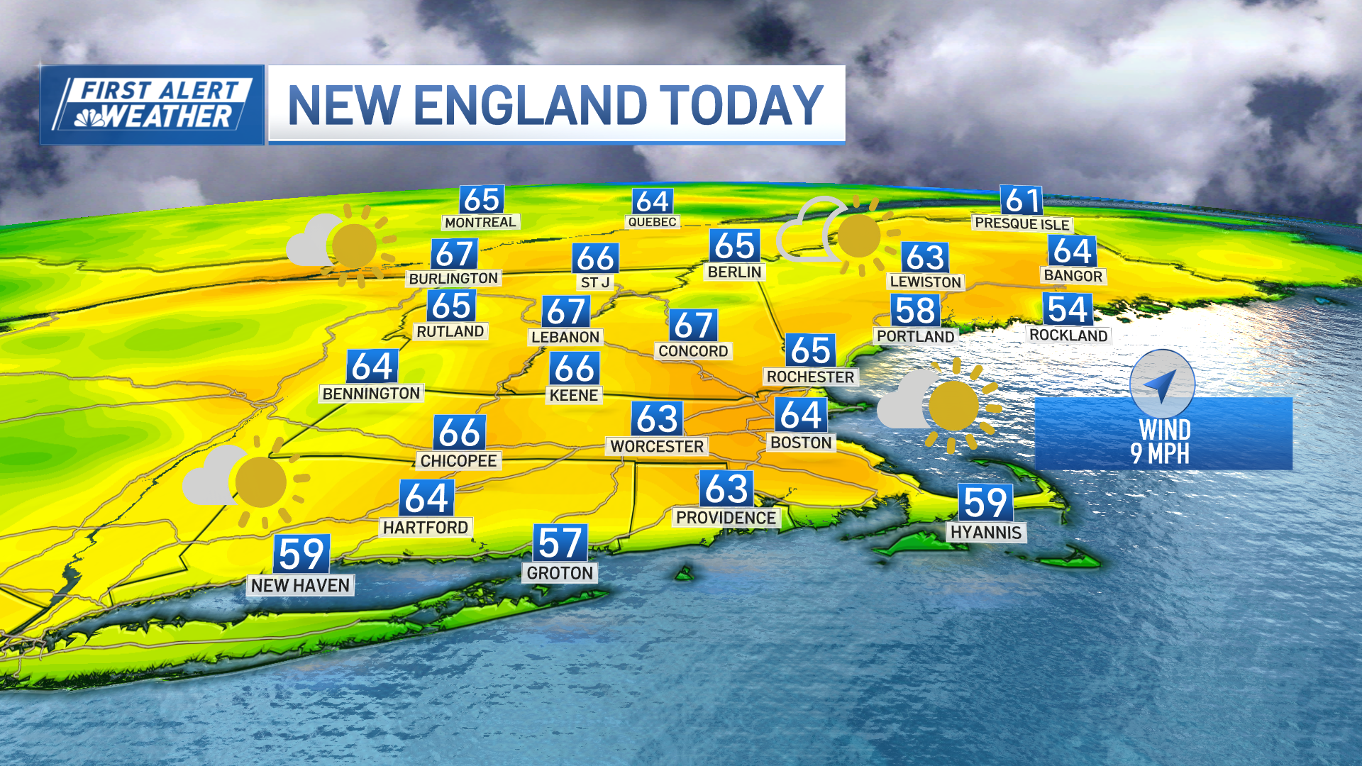
Click here to see active severe weather alerts, and track live radar below.
Humidity continues gradually increasing across New England on a gentle but steady southwest wind, and this new atmospheric moisture combined with an energetic jet stream level disturbance aloft will prompt the development of showers, downpours and thunderstorms Tuesday afternoon.
Get New England news, weather forecasts and entertainment stories to your inbox. Sign up for NECN newsletters.
Unlike Monday, when the focus was across central, western and northern New England, this time the attention is likely to be placed on much of the southern half of New England, including southern New Hampshire and the southern coast of Maine, points southward — except for southern Rhode Island to southeast Massachusetts.
Isolated downpours will develop by lunch hour, but from 2 p.m. to 8 p.m., our weather team has issued a First Alert for a number of storms that will develop over Hartford, Springfield, Worcester, Boston and more. These downpours and thunderstorms, feeding off the arriving humidity, will drop heavy rain for possible localized flooding, create frequent cloud-to-ground lightning in spots (remember: when thunder roars, go indoors! If you can hear thunder, lightning is close enough to be a threat), and may produce a few isolated strong and potentially damaging wind gusts.
Weather Stories

As the storms become more numerous, some of them will likely merge to form pockets of rain and thunder lasting longer than the usual summertime passing storm, and it’s not impossible the early part of the Red Sox game scheduled for a first pitch at 7:10pm at Fenway Park may be delayed or in some way impacted by rain, but most storms will be exiting over Boston Harbor or fizzling by 8 to 8:30 p.m., leaving patchy fog and a slowly clearing sky overnight. Wednesday is unlikely to see storms, save for perhaps northern Maine, because the entire atmosphere will be warm to hot, top to bottom, reducing any cold/warm clash in the sky that drives thunderstorm development.
Temperatures will make a run at 90 degrees Wednesday afternoon, and we’re expecting to touch 90 in Boston, with humidity creating a heat index in the middle 90s. Thursday and Friday the heat peaks: highs in the lower to middle 90s with heat index values near or around 100 degrees.
Although most of Thursday is storm-free, afternoon storms in northern New England will attempt to build south during the evening, so it’s not impossible we see a storm all the way into southern New England around suppertime, something we’ll keep an eye on in the coming day. The heat continues Friday but aloft, cooler air will already be inching closer from the northwest, making conditions favorable for at least scattered late day storms, then Saturday a cold front arrives at the surface from the northwest, triggering more storms after high temperatures reach 90 degrees again for at least some of southern New England.
Sunday brings a brand new air behind the cold front – highs near 80, lower humidity and a fair sky – an air that is expected to last through next week, even as a passing disturbance brings the chance of a few scattered showers Monday, then a shower or storm again in the latter part of the week.
