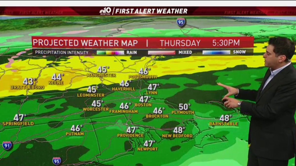
Today: Rain develops and lasts the day, developing late far north. Highs near 50. Overnight Thursday: Rain changes to snow north. Lows in the 30s, 40s south. Friday: AM rain and snow departs for afternoon. Highs only near 40.
Hurricane Zeta was the 5th named storm to make landfall along Louisiana coast in 2020. The storm made landfall yesterday evening as a very strong category two hurricane. It will continue to race East northeast over the next 24 hours.
The ice and snow storm in the Plains join forces with the hurricane as it moves into the mid Atlantic. Rain will develop today and gusty wind to follow at the coast.
As colder air moves in, rain will change to snow late Thursday night going into Friday morning. Accumulations are possible, especially along the north of the Mass. Pike in the higher elevations. Some wet snowflakes are even possible in places like Hartford, Providence and Boston.
Clouds will clear Friday afternoon, but it will remain rather breezy. The weekend starts off cool for Halloween with sunshine. Temperatures will range from the upper 40s to around 50 degrees. Sunday will be the pick of the weekend as high temperatures surge into the upper 50s and low 60s.
We will see quiet weather continued through Election Day. Temperatures early next week will stay cool with highs in the 40s, but as we progress through the week temperatures will warm into the 50s and 60s.