
An area of high pressure shifting over New England will result in cool temperatures and dry weather on Monday. Expecting high temperatures to rise into the upper 30s to mid-40s across most of the region today.
Clouds will be on the increase from southwest to northeast ahead of a developing area of low pressure in the Mid-Atlantic. Thanks to an onshore flow, areas at the coast will stay cooler in the mid to upper 30s.
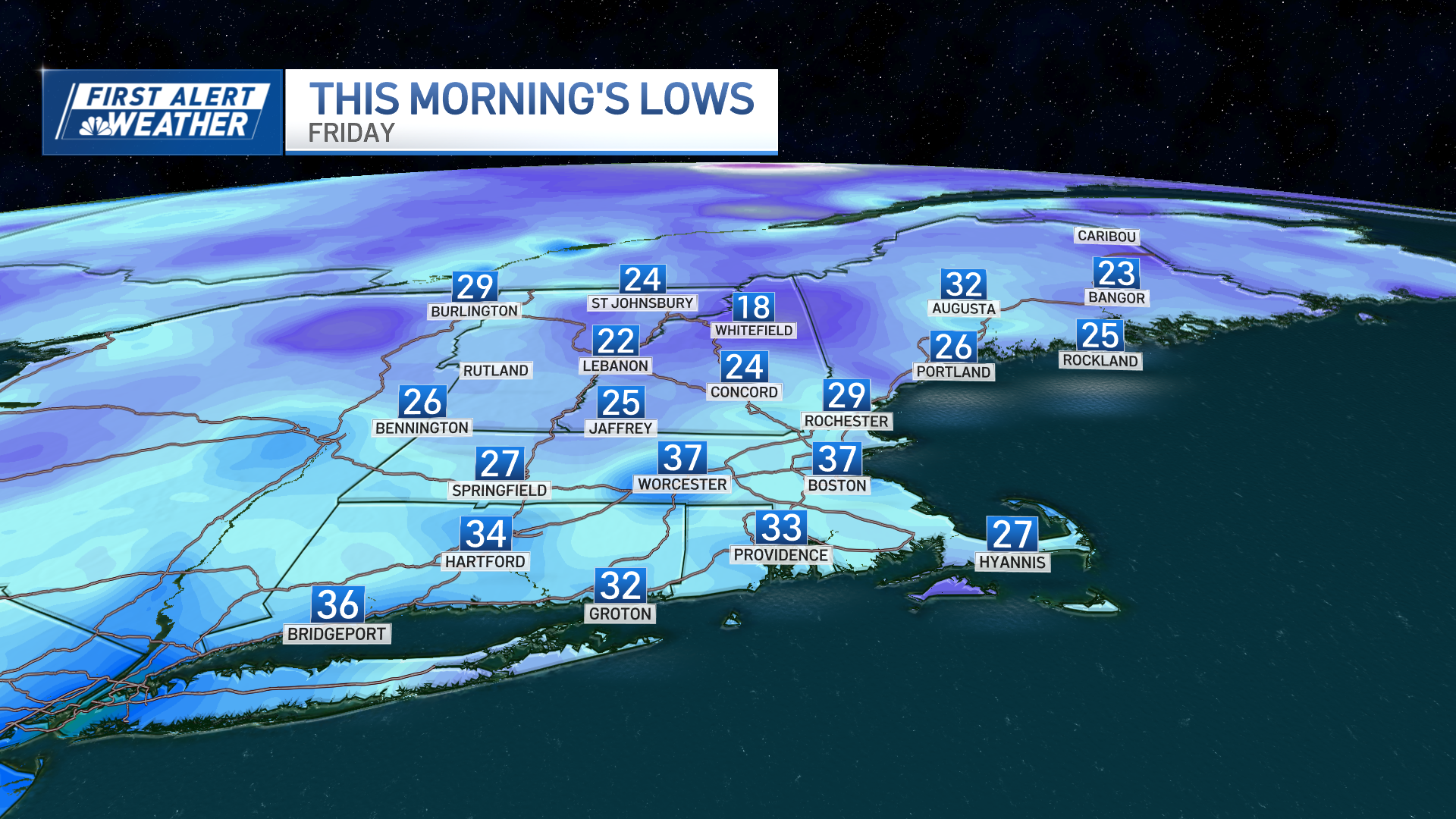
Overnight, clouds continue to build, becoming overcast by midnight. Dry, low-level air will delay precipitation onset until Tuesday morning. Expecting a mainly dry night with lows in the mid-20s to near-freezing through late evening, before rising into the 30s by daybreak.
On Tuesday, a frontal system moves across New England. Precipitation will spread across the region by early-morning tomorrow, with mostly rain across southern New England, a mix from the Massachusetts Turnpike to the Route 2 Corridor. Temperatures will rise into the mid-40s to 50 degrees as the day progresses, forcing a changeover to rain into central New England.
Any snowfall accumulation to be found will likely be on grassy surfaces. Expecting 2 to 3 inches towards the Crown of Maine. A cold front drags across New England on Wednesday, bringing cooler and quieter weather to the region. Expecting sunny skies and highs in the upper 40s to 50 degrees south, mid to upper 40s north. By Thursday, our area of high-pressure shifts offshore as our next weather system approaches from the west.
Precipitation will begin as rain between midnight and daybreak for most of New England, with the exception of a start onset of snow and mix across the mountains. Temperatures will crest well above freezing by the afternoon and evening, causing any mixed precipitation to change over to plain rain. On Friday, a warm front will cross New England, bringing continued rain and warmer temperatures into the region.
High temperatures will flirt with 70 degrees across the south, low to mid-60s across Vermont and south-central new Hampshire. In Maine, temperatures will remain on the cooler side with low to mid-40s across northern locations including Presque Isle and Caribou, upper 40s to low 50s across central Maine and low 60s at the coast.
Weather Stories

Another sprawling area of high pressure traverses toward New England on Saturday behind a departing cold front Saturday morning. The First Alert 10-Day Forecast has yet another great weekend of weather to the region with sunny skies and seasonable temperatures for mid/late-March in the upper 40s.
