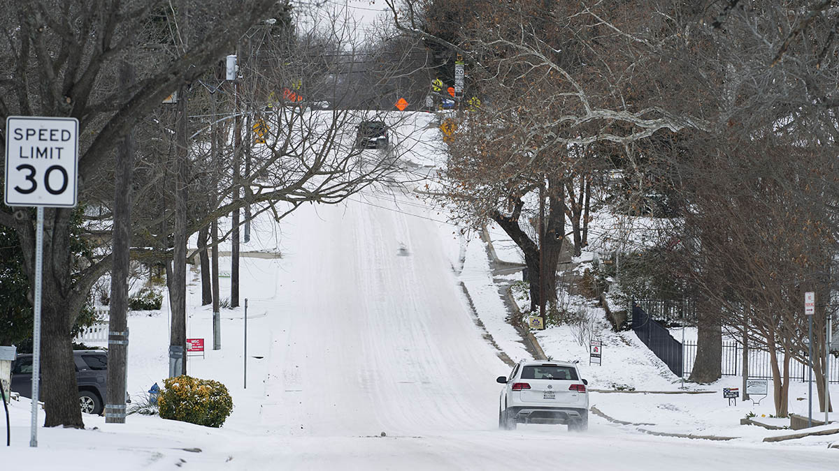
A tricky forecast is in place Thursday as we track an area of low pressure that moves across the Mid-Atlantic, bringing snow, freezing rain and rain.
For us here in New England, the system will bring mostly snow, though there’s a possibility it mixes with sleet or freezing rain around Cape Cod and the Islands.
So far, moderate to heavy snow has been reported from Bridgeport to Groton, Connecticut, with lighter snow falling into western Massachusetts.
Limited visibility and slippery travel is expected during the evening commute for those living south of the Massachusetts Turnpike. Elsewhere, clouds have taken over with a few flurries from time to time.
Get New England news, weather forecasts and entertainment stories to your inbox. Sign up for NECN newsletters.
There will be a lull in the action Thursday evening and overnight as the first wave of the system exits towards the Atlantic; another area of low pressure over the Great Lakes may trigger another round of snow closer to midnight and into Friday morning, expanding from south to north.
Expect on and off snow showers Friday, but, with an onshore wind, more moisture becomes available and a burst of heavier snow could develop, especially across Boston and the South Shore.
A final wave may trigger more snowflakes late Friday night into Saturday morning from the Sea Coast to Cape Cod while the mountains will see flakes flying to start the weekend.
How much snow accumulates will probably end up like patchwork across southern New England, varying with snow intensity (fueled by varying wind direction and temperature, as well as specific track of disturbances aloft) and with when heavier bursts of snow occur in any given community.
In the end, we believe most communities in southern New England will total around three to six inches of new snow on top of the old snow and somewhere between a coating to two inches in much of northern New England but higher amounts, up to half a foot, in the Green Mountains of Vermont.
The sun returns Sunday under high pressure, though it stays cold with highs in the 30s south, 20s north.
One more disturbance is slated for Monday – a combination of rain and snow showers, with the greatest chance for some accumulation in northern New England – and that storm opens the door to moderate air, not only for New England but for much of the nation, with next week featuring a comeback of milder temperatures.
Here at home, this means a few days with daytime highs in the 40s in our exclusive First Alert 10-day forecast before turning cooler at the of the week, with the possibility of more rain and snow showers.


