Severe weather is moving into New England Tuesday afternoon. Details below.
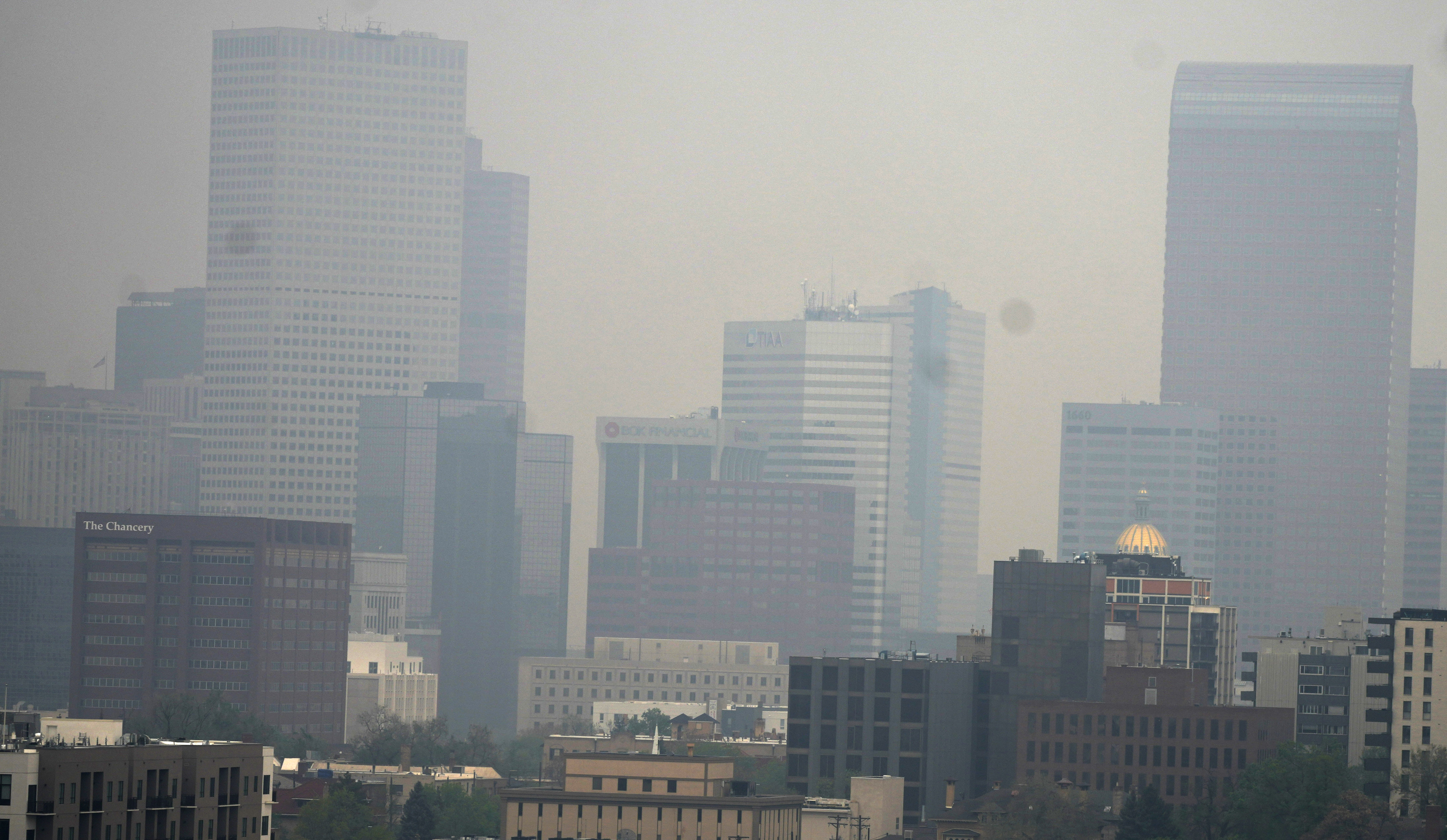
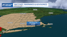
An air quality alert continues from the U.S. Environmental Protection Agency for the southwestern half of New England and much of the Northeast United States as a result of wildfire smoke lingering in the air at low altitudes.
It's casting haze across the sky and loading particulate matter into the air that poses a challenge for those with respiratory ailments and makes a noticeable difference for those who exercise strenuously.
Get New England news, weather forecasts and entertainment stories to your inbox. Sign up for NECN newsletters.
The smoke is the product of wildfires burning in the Canadian province of Quebec – now our third source of Canadian wildfire smoke in the last several weeks.
Several weeks ago, high-altitude smoke from Western Canada wildfires filled our sky; two to three weeks ago it was Nova Scotia’s wildfires; this week the source is Quebec, where dry conditions continue.

Interestingly, the smoke is being blown southward into the United States by a stalled weather system that delivered much-needed rain to Nova Scotia, but the large, counter-clockwise wind flow around it has resulted in a prolonged northerly wind flow to the Northeast U.S.
Of course, our sensible weather is very much impacted by that slow, large storm, as well, with repeated days of building clouds and showers punctuated mostly by slugs of dry air that bring increased periods of sun.
One such sunny period Tuesday morning to midday helps to boost temperatures over 70 degrees for many before new afternoon showers and thunderstorms develop. Although it’s unlikely any storms will turn severe Tuesday late day and evening, it’s not entirely possible to get an isolated burst of locally strong wind in one or two communities, given the abundance of dry air aloft that can produce gusty wind at the center of well-developed downpours.
Severe thunderstorm warnings were issued for parts of central and western Massachusetts as well as Connecticut and Rhode Island Tuesday afternoon, bringing the potential for strong wind gusts and quarter-size hail.
See the latest weather alerts here.
Showers fade Tuesday night and no frost is expected in the coming nights under variable clouds, but do expect showers to start sooner Wednesday – as soon as predawn for some, with scattered showers coming and going over the course of the day, more clouds than Tuesday and somewhat cooler temperatures hovering in the 60s.
Thursday and Friday both return New England to a pattern of sun, building clouds and scattered afternoon showers with a possible rumble of thunder as the large storm over Atlantic Canada only slowly nudges east, but should exit far enough east for improving weekend weather, when an afternoon pop-up shower isn’t impossible but does appear far less likely.
That said, right now it looks like we may simply reload the showery pattern next week, starting as soon as Monday with another slow-moving, large storm at the surface and aloft at the jet stream level, this time perhaps closer to the Northeast U.S., with finer details TBD.