
Wednesday starts on a dreary, cloudy note, with milder air.
Temperatures are roughly in the low 40s with clouds overhead, but winds are much calmer Wednesday. Breaks in the clouds will support high temperatures in mid-50s.
The exception to the rule will be across the coast. We're in a lull, relatively speaking, until our next several rounds of rain through Wednesday night and Thursday.
As the ocean storm moves away from the East Coast later this week, that opens the door for a large storm that's been causing snow and severe thunderstorms to our west to move in, leading to showers that fill in as rain Wednesday night into Thursday, with heavy rain at times in eastern New England Thursday.
Get New England news, weather forecasts and entertainment stories to your inbox. Sign up for NECN newsletters.

Although it's still possible northwest New England — particularly central and northern Vermont — avoids much of this rain, most of New England's cities will find impacted commuting, so our team has hoisted a First Alert.
Rain is expected to continue into Friday morning in eastern New England before ending from west to east (perhaps as brief snowflakes for some, especially north) with sluggish drying Friday afternoon, then clearing Friday night that delivers a fair and pleasant Holy Saturday.
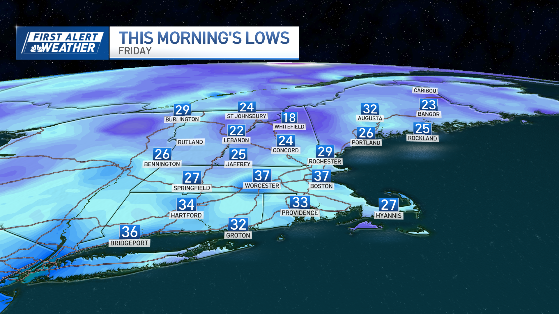
Weather Stories

Easter Sunday also looks good, though one quick jet stream level disturbance appears to be centered around the early morning, so at some point a quick shower is possible, but because it's fast-moving, most hours will be dry and fine.
Next week is already showing signals of another relatively cold storm for this deep into spring, with a chance of rain — and snow with northern extent — next Tuesday and Wednesday.
