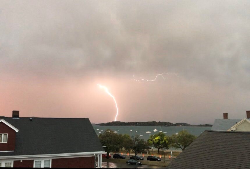
Quite a squall line yesterday. Wind damage was extensive across the Commonwealth as a bow echo raced from New York State to Cape Cod.
Damage was focused in the middle of the arc (or bow) in the radar imagery. While not uncommon across the Lower 48, it was atypical for us in the sense that we’re out of the summer months, and deep into fall.
Things are settling today as the cooler air shuffles in. Gusts could still be 30 to 40 mph with plenty of sun. Highs will struggle to make 60 in many spots – with many not making it in the Worcester Hills. Winds will diminish and skies will clear for a frosty night in the suburbs tonight.
Warmer air will be slow to return, so expect tomorrow to be equally as cool. That said, many will make it to 60 tomorrow as the winds turn to the southwest.
Saturday is the pick of the weekend with highs well into the 70s, then it’s back to October on Sunday with a back door front. As Hurricane Delta closes in on the Mississippi Delta, the focus for next week will be on how much rain makes it into New England.
A blocking high setting up over New England and the Maritimes wants to hold back the rain for a couple of days. Guidance has been ambivalent about the prospects of the remnants eventually busting through and soaking us down, but the tide may be turning, so to speak.
One of our more recent model projections from last night pushes some healthy rain here Monday night into Tuesday. Not all guidance is as bullish, so we’ll have to see how things play out in the days ahead.