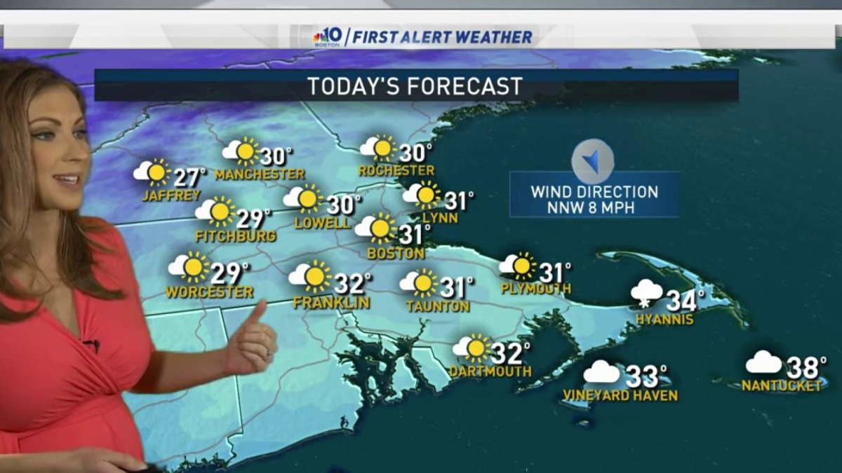
Today: Morning black ice. Partly cloudy. Highs in the upper 20s to low 30s. Tonight: Clear and cold. Lows in the teens. Tomorrow: Sunny. Highs around freezing. Sunday: A few snow or rain showers, partly cloudy. Highs in the upper 30s.
Temperatures have fallen overnight and it stays rather icy. Plus, we have a few ocean-effect flurries to snow showers along southeastern Massachusetts that will last a few hours more.
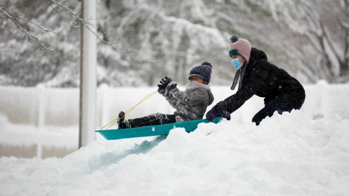
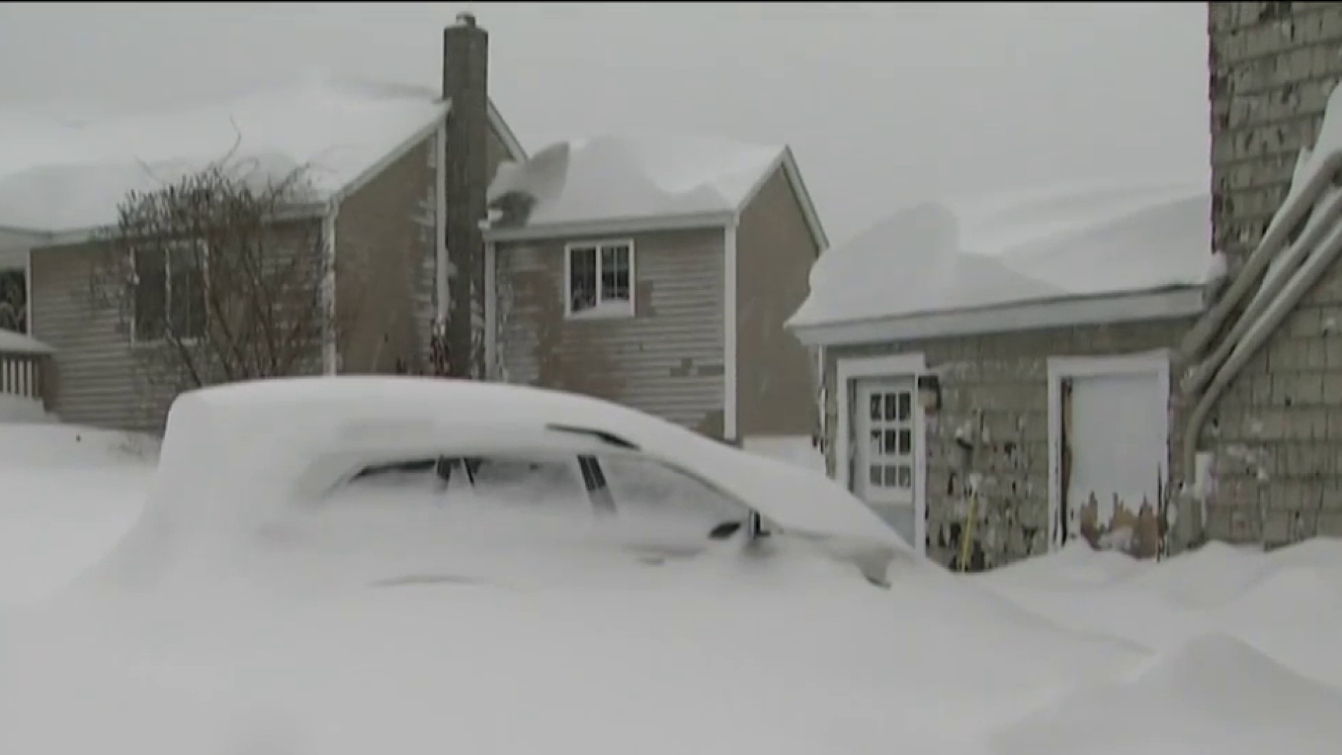
Around the Boston area and most of Massachusetts, we had anywhere from 9" to 15" of snowfall from yesterday's storm, depending on where you live. Boston came in with over a foot of snow!
The south shore, south coast and Cape Cod had a slushy 3-6" of snow. Of course, the jackpot zone of one to three feet of snow in parts of Vermont and New Hampshire really took most of the attention. And some areas had more, with Ludlow, Vermont, getting 44" of powdery snow.
The snow showers across southeastern Massachusetts and the south shore of Massachusetts, thanks to ocean-effect, will continue for a few more hours. This could bring around 3" of snow locally before the bands taper as the wind direction swings more north, northeast.
The next couple of days will be quiet and cold with highs around freezing both today and Saturday. A wintry mix will move in for Sunday and it looks like light snow across the mountains with showers southeast.
Our temperatures increase a bit to the low 40s for next week and leading into Christmas Eve. In fact, we may see rain that day and very mild temps. There could be a few snowflakes on Christmas Day as colder air arrives. Stay tuned for updates!