
A number of weather alerts are in effect in New England. An updated list may be found here.
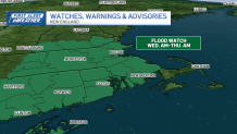
Flood watches are up for Wednesday, into the night for an advancing line of…
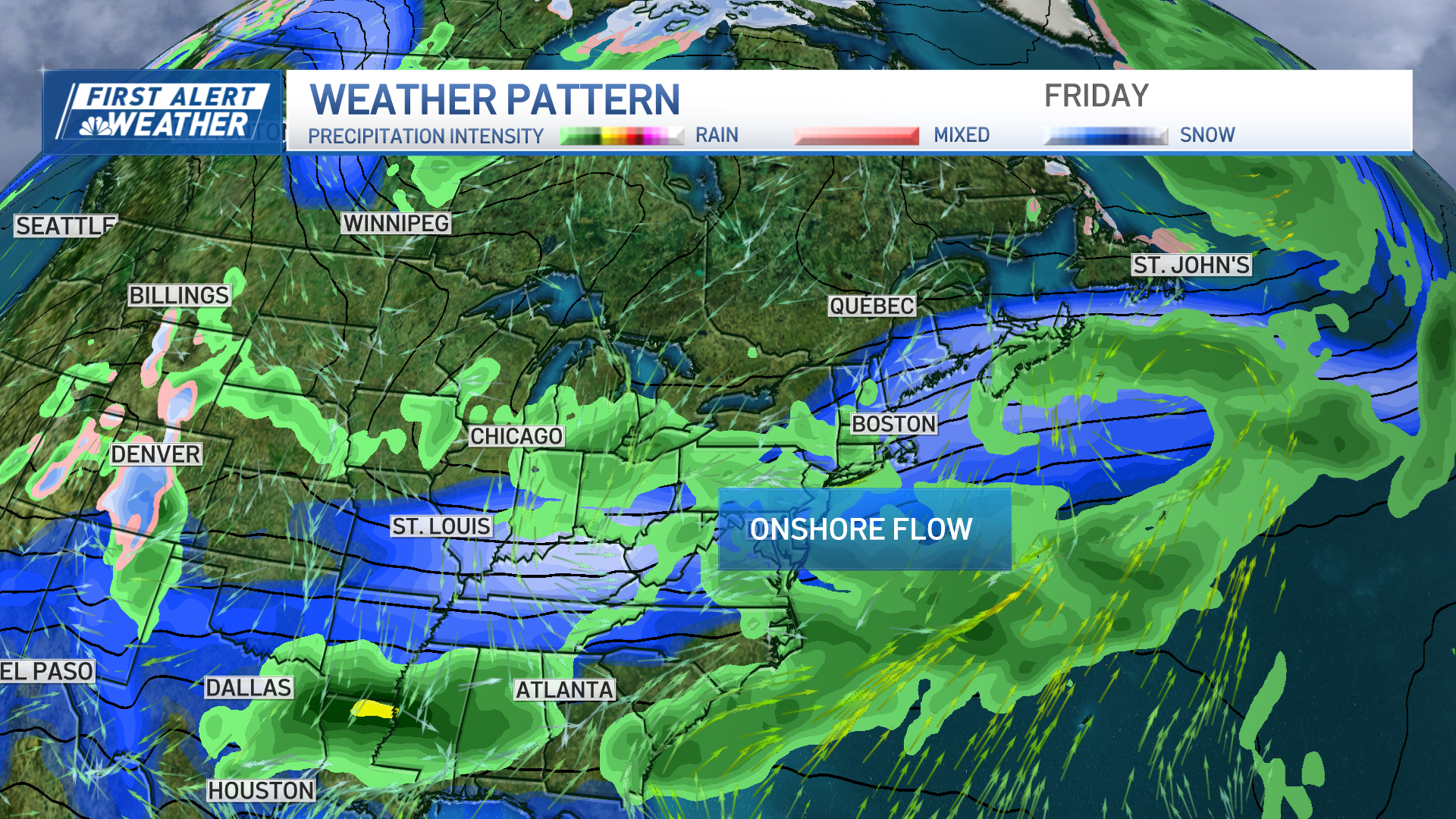
RAIN and STORMS.
We’re weary, we’re desperate and we’re done. This has been an unrelenting wet pattern that has carried back to late May (remember when we were on the verge of drought in May? Yeah, me either.) With the passage of this front, however, we’ll get a two day reprieve from the wet weather as we stare down Hurricane Lee.
Get New England news, weather forecasts and entertainment stories to your inbox. Sign up for NECN newsletters.
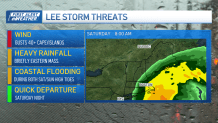
The forecasts have NOT consolidated around a track with Lee. While we hope they will in the coming days, if they do not, then it may go down to the wire. Right now, the worst-case scenarios paint very strong winds of 50 mph plus on the coast, and up to one to four inches of rain. While the tracks farther east show winds to 30 to 40 mph along the coast with less than 1 inch of rain (much less, in fact). There’s a lot at stake here, and there’s no logical reason to “make a call” when there are so many variables at play. Fickle winds in the upper atmosphere can set Lee in one direction or the other. And often, the models have a poor handle on those winds over the vast Atlantic ocean. (Therein lies the issue.)
Back to the storms Wednesday. Most should be of the run-of-the-mill variety, but there is a chance a couple become severe. Heavy rain and gusty winds are the main issues, with thresholds of ONLY 1 to 1.5 inches of rain to cause flooding in Greater Worcester into parts of the Merrimack Valley. Storms will fire by early afternoon and run through the evening. Thankfully, they’ll be moving, so there isn’t any scenario where we have stalled storms roosting overhead.
Refreshing air (what’s that?) comes in behind the front/storms Thursday. We’ll hold onto that for the weekend, but it makes for a somewhat chilly forecast Saturday as Lee makes its move offshore and the showers move in on a northeast wind. Expect highs only in the low/mid 60s.
Weather Stories
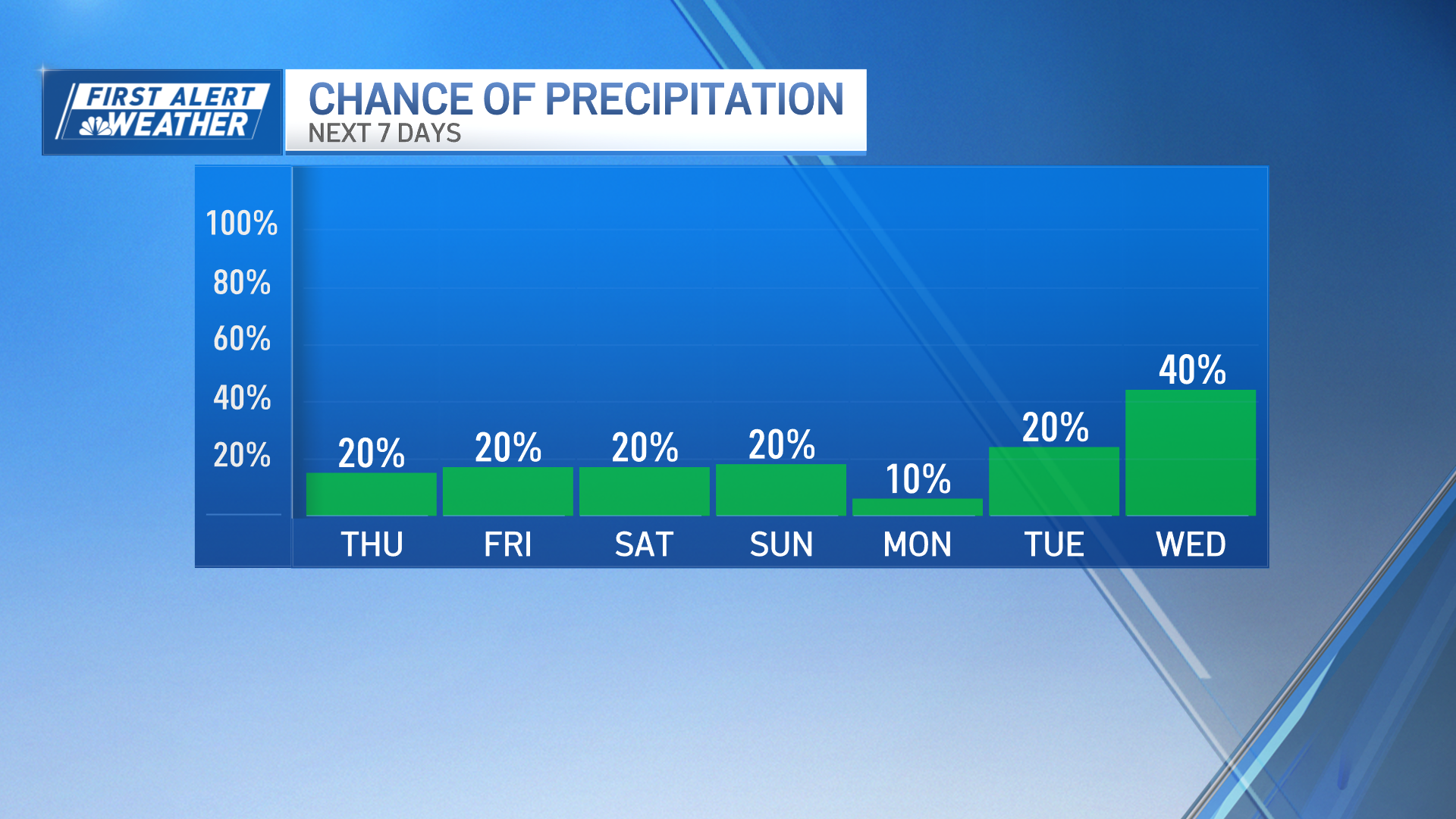
Rest of the weekend (and the Pats game) looks fantastic. Make plans for Sunday.
