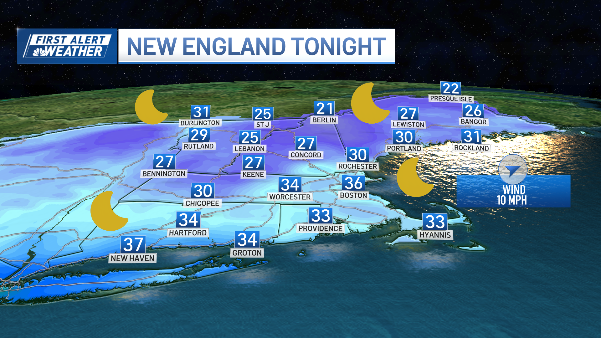
It was a little cool for an early July day, but fear not, humidity and heat make a triumphant return as early as Wednesday as the weather pattern stays active.
Here is how it plays out: warmth and humidity build during the day Wednesday while a backdoor cold front drops south, triggering some thunderstorms during the afternoon and evening. The threat of these storms is the highest north of the Massachusetts Turnpike.
The storm potential has prompted the issuance of an NBC10 Boston/NECN First Alert Wednesday late day and evening.
With so much moisture in the air, rainfall rates will be exceptional in any storms, meaning ponding of water is likely under these storms. Strong wind gusts may cause localized damage, cloud-to-ground lightning will pose a threat and some hail is possible in stronger storms.
We catch a break Thursday when temperatures will be plenty warm with perfect beach weather.
Friday into Saturday our attention turns to the mid-Atlantic region where a tropical system is looming.
Weather Stories
Regardless of how organized the storm becomes, it represents a shot of tropically infused rain and gusty wind. As a result, we've issued a First Alert for late Friday into early Saturday, though the impact of the system — from track to intensity — will depend entirely on how organized it becomes in the second half of this week, and will be one major focus of our weather team.
On Sunday, scattered thunderstorms are possible, but it doesn't appear too significant.
Next week looks warm and we could stay active with numerous chances for thunderstorms.


