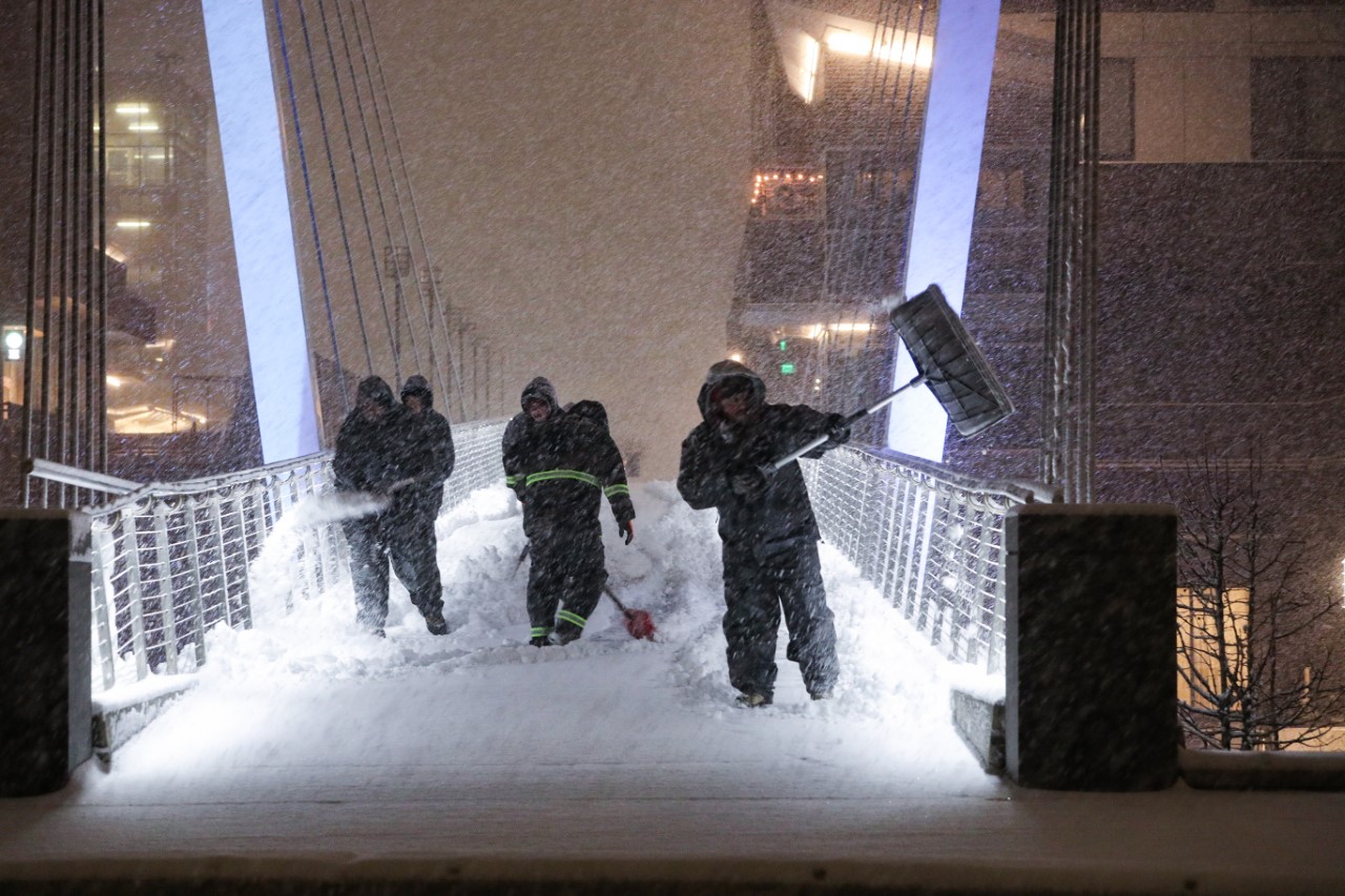
It’s one thing when it snows in New England – it’s another thing when the temperature in the sky aloft is absolutely perfect for accumulating snowflakes – and that was the case this time around.
In every snowstorm, snow crystals develop in the cloud above – different snow crystals develop depending upon the atmospheric temperature and moisture conditions in the cloud. Sometimes, “needles” or “prisms” develop: thin, narrow and small snow crystals that join together to form delicate, fine snowflakes that dance lazily down to the ground and accumulate slowly.
Once in awhile, though, the atmosphere sets up just right for “dendrites" – sticky, branched snow crystals eager to coalesce and form large, quickly accumulating snowflakes that add up fast and can result in snow accumulating two to three times faster than “ordinary” snowstorms. That’s exactly what happened from central Connecticut to northern Rhode Island and eastern Massachusetts in Greater Boston on Friday.
Get New England news, weather forecasts and entertainment stories to your inbox. Sign up for NECN newsletters.
In fact, contrary to the usual ratio of one inch of precipitation (liquid) equaling 10 to 15 inches of snow, Thursday’s reports revealed that a few communities were observing on the order of 20 and 30 inches of snow to one inch of liquid! This blew the forecast wide open, where the perfect snow conditions sat for hours on end, including the immediate Boston metro area.
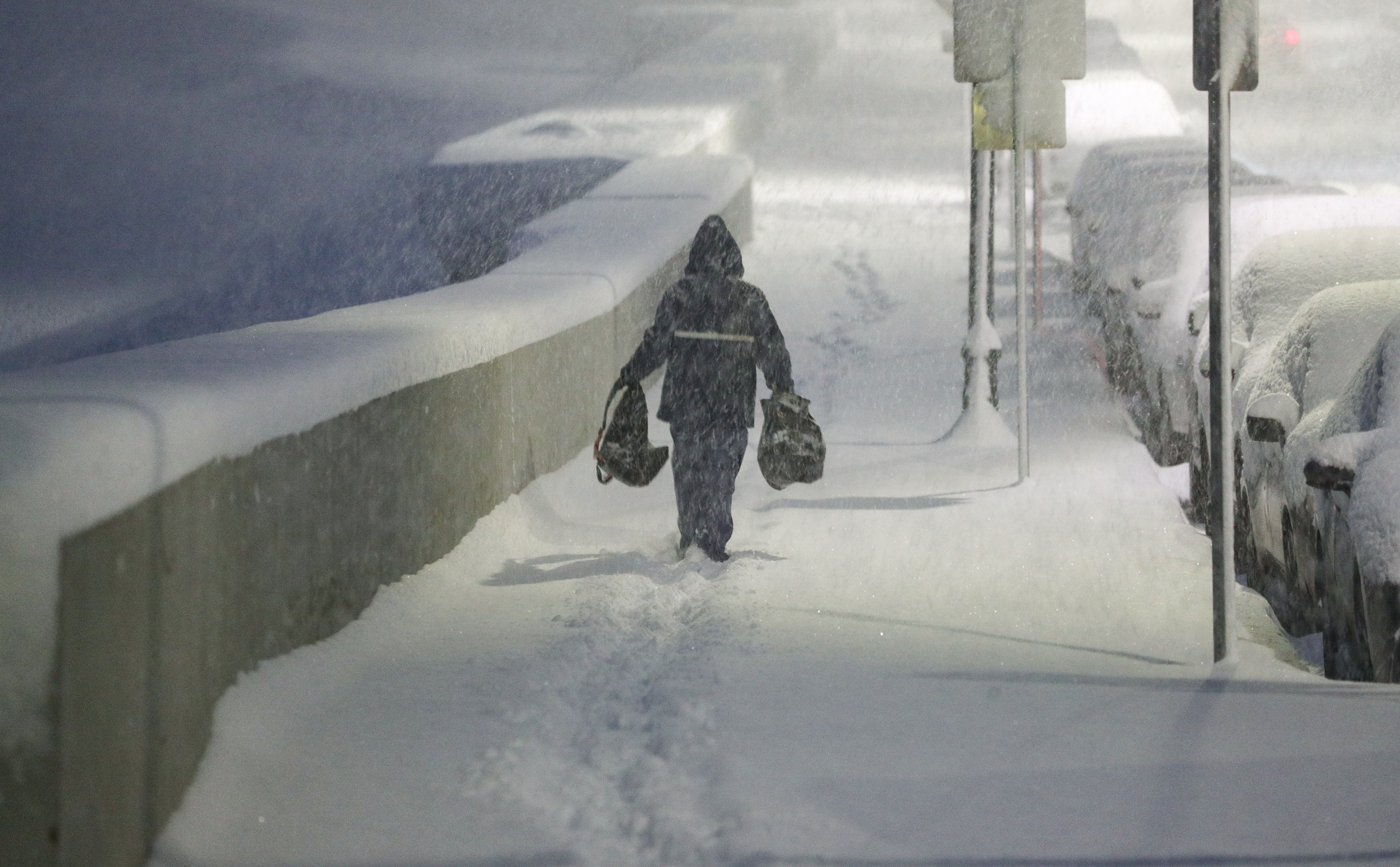
With temperatures near the melting point, road treatments have led to dramatic improvement to slushy and wet conditions on interstates, with slower improvement on local roads and with the snow tapering to little more than flurries during the middle to late afternoon (a bit later along the Maine coast). Clearing the driveway will bring a lasting result and is a worthwhile proposition with a solid freeze-up expected overnight as lows drop into the teens, also creating slick road conditions.
Saturday will be bright, but it won’t be warm – most high temperatures will be in the 20s.
The cold air relaxes a bit Sunday, but the problem is a disturbance comes racing in, producing a round of morning freezing rain showers for the deep interior with some slick spots from morning to midday, snow showers to freezing rain in the mountains and mostly midday and afternoon rain showers for the metro areas of southern New England.
This precedes a sharp shot of arctic air that arrives for Tuesday which is likely to keep daytime highs in the teens south and single digits north with subzero wind chills! We've got a First Alert stamp on the forecast for the bitter, potentially record cold possible that day.
The upside to the biting cold is the air is relatively dry, holding off any threat of new storminess until at least the end of next week in the exclusive First Alert 10-day forecast.