
Happy Easter to those of you who celebrate! More in the way of clouds today with some sunny breaks this afternoon, but with noticeably less wind! Drier air will continue to flow into the region along with seasonably mild temperatures allowing for some sunny breaks in the cloud cover through this afternoon.
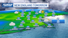
Highs will reach the mid to upper 50s south, 40s north, cooler across far northern Maine. A clear sky with a few clouds around tonight…light winds & dry air will help temperatures drop a bit, especially across some of the traditionally colder spots. Lows mostly in the 30s south, 20s and 30s north.
More in the way of clouds Monday with a spot shower along the southern New England coast, a stray rain/snow shower over the higher elevations northern New England.
Get New England news, weather forecasts and entertainment stories to your inbox. Sign up for NECN newsletters.
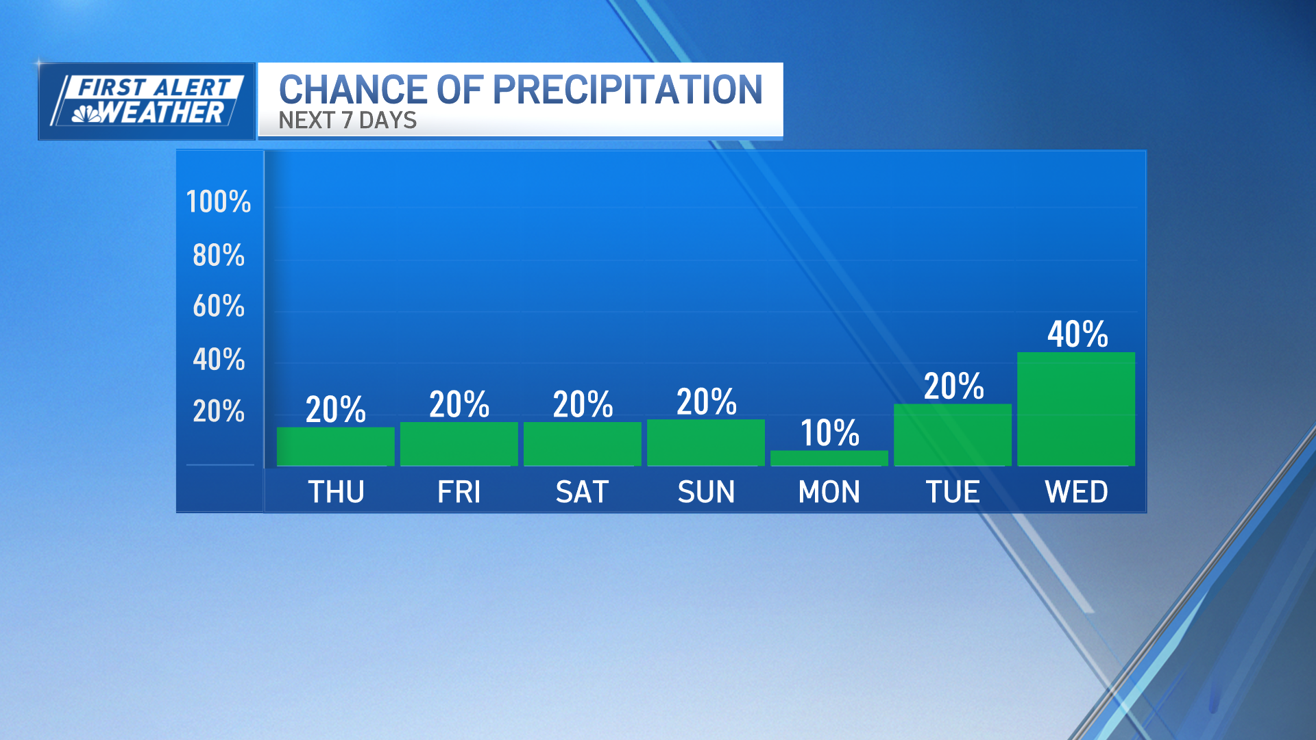
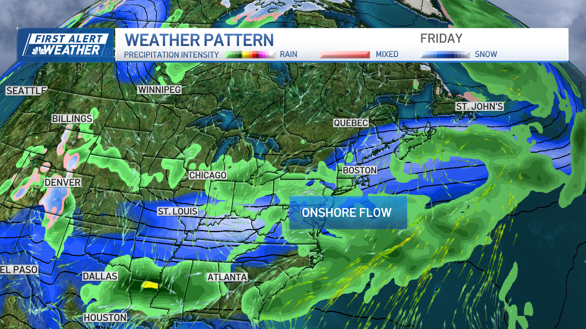
Highs reach the 50s inland, bit cooler along the coast with an onshore wind. Thickening clouds Tuesday with slightly cooler temps and rain showers moving in by late in the day. They will continue into the overnight (Tuesday) with some wet snow flakes mixed in across the higher terrain inland.
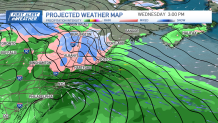
The mid-week forecast looks stormy, with First Alert stamps posted on our 10-Day forecast both Wednesday and Thursday due to the impacts from rain, wind, and inland snow as a storm system takes shape south of New England. As of now, it looks like the event will be mostly rain around the Boston area, but with some uncertainty regarding the track of the storm, we could see that rain/snow line collapse back to the I-95 corridor during the late Wednesday and early Thursday morning time period.
More details on that as new models get a better lock on it. There are also signs this system may take its time exiting the area which means we could stay unsettled through the first half of the weekend…stay tuned! The countdown to the Eclipse a week from Monday is on, right now the trend is looking storm free, let’s hope Mother Nature doesn’t throw any curveballs at us.
Weather Stories
Have a great rest of your day!
Get updates on what's happening in Boston to your inbox. Sign up for our News Headlines newsletter.
